The Countie of Radnor Described, and the Shyretownes Sittuatione
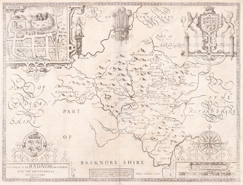
Book Description
Dealer Notes
Other books
If you liked the book you've just seen, you might be interested in other books from the same dealer below.
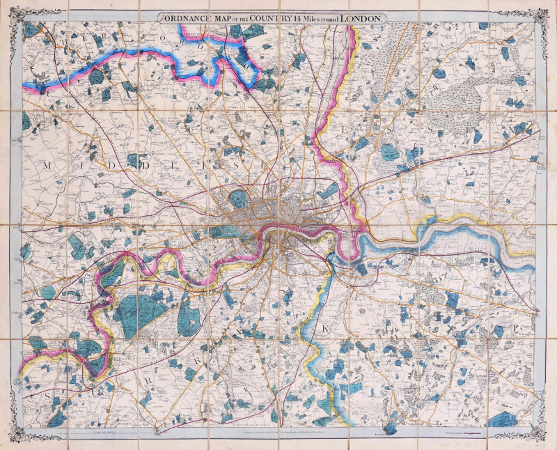
from the Ordnance Map of the Country 14 Miles roun...
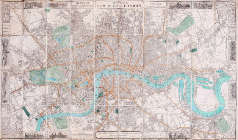
Cruchley (George Frederick)
George Frederick Cruchley, London
£375.00
Offered by Robert Hall Pictures
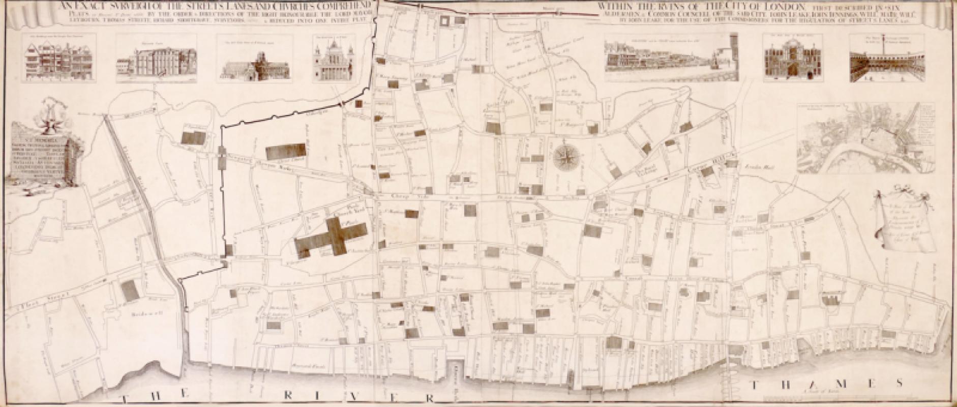
An Exact Surveigh of the Streets, Lanes, and Churc...
Vertue (George)
The Society of Antiquaries
£1275.00
Offered by Robert Hall Pictures
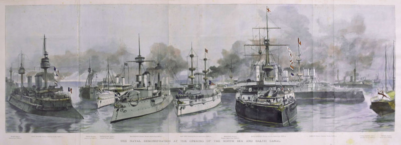
The Naval Demonstration at the Opening of the Nort...
Naumann (Paul Hermann)
Illustrated London News, London
£225.00
Offered by Robert Hall Pictures
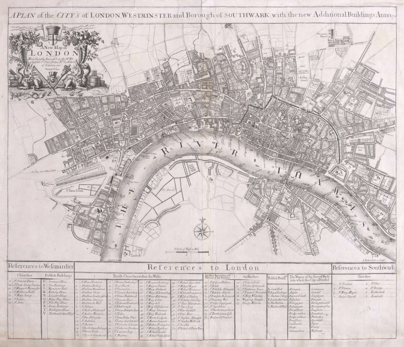
A Plan of the City's of London, Westminster and Bo...
Parker (Samuel)
John Senex, London
£1250.00
Offered by Robert Hall Pictures
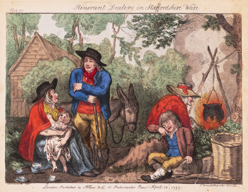
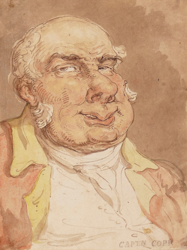
Itinerant Dealers in Staffordshire Ware
Woodward (George Moutard) After.
Allen & Co.
£185.00
Offered by Robert Hall Pictures
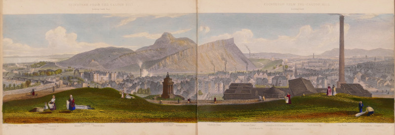
Edinburgh, A Complete View of The City and Environ...
Steuart (T.)
Ackermann & Co.; and J. Menzies, London and Edinburgh
£750.00
Offered by Robert Hall Pictures
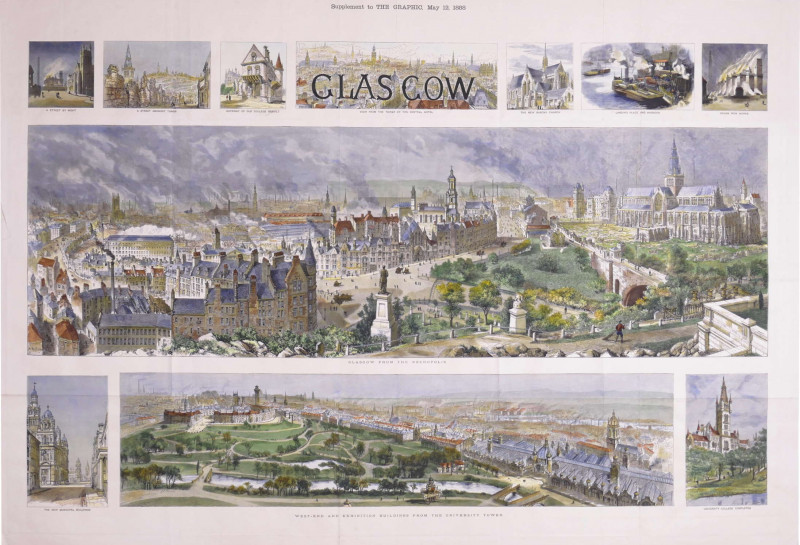
Glasgow, Supplement to The Graphic, May 12, 1888
Brewer (Henry William)
The Graphic, London
£875.00
Offered by Robert Hall Pictures
Friends of the PBFA
Please email info@pbfa.org for more information