The Roads of Great Britain
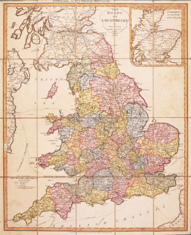
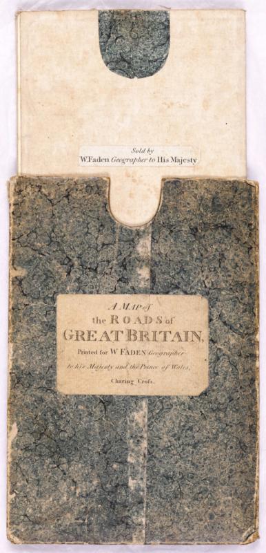
Book Description
Dealer Notes
Other books
If you liked the book you've just seen, you might be interested in other books from the same dealer below.
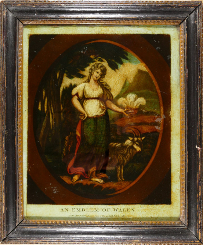
An Emblem of Wales
Haines (John) & Son. Publishers.
Haines & Sons, 19 Rolls Buildings, Fetter Lane
£375.00
Offered by Robert Hall Pictures
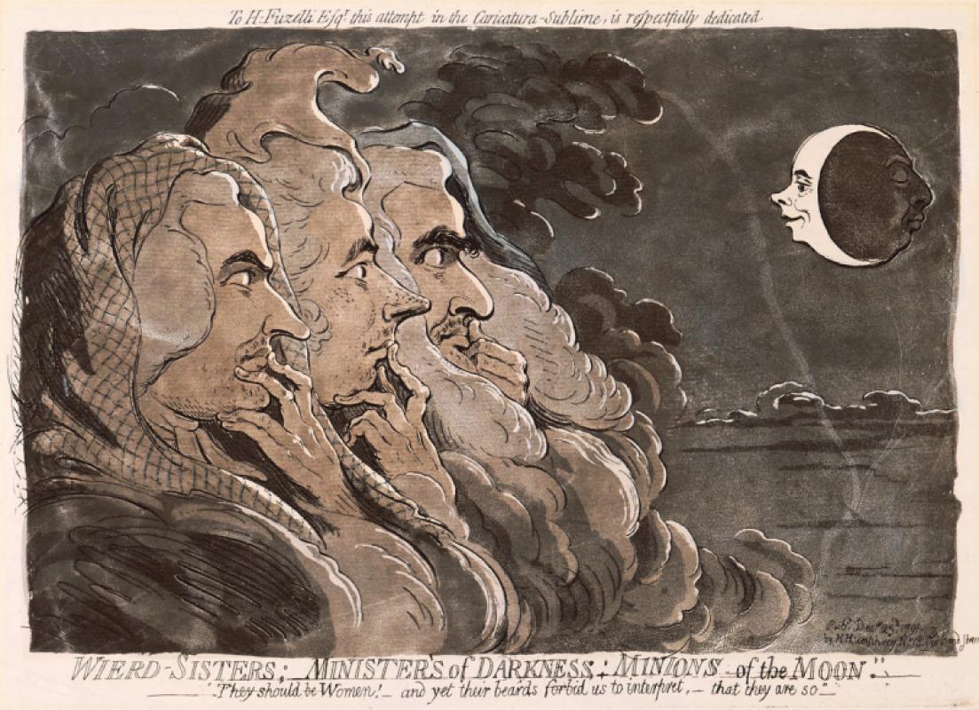
Wierd-Sisters; Ministers of Darkness; Minions of t...
Gillray (James)
Hannah Humphrey
£1950.00
Offered by Robert Hall Pictures
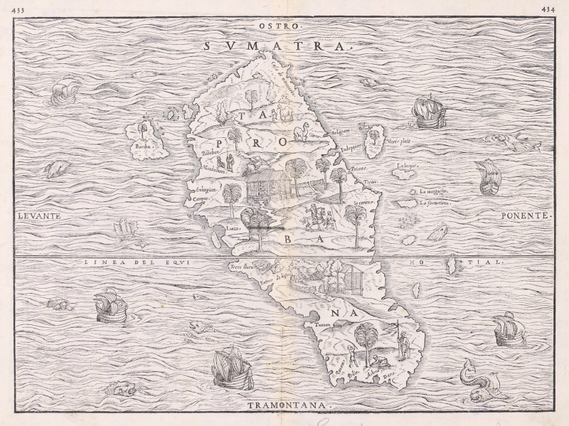
Sumatra, Taprobana,
Ramusio (Giovanni Battista)
Venice, Tommaso Giunti,
£795.00
Offered by Robert Hall Pictures
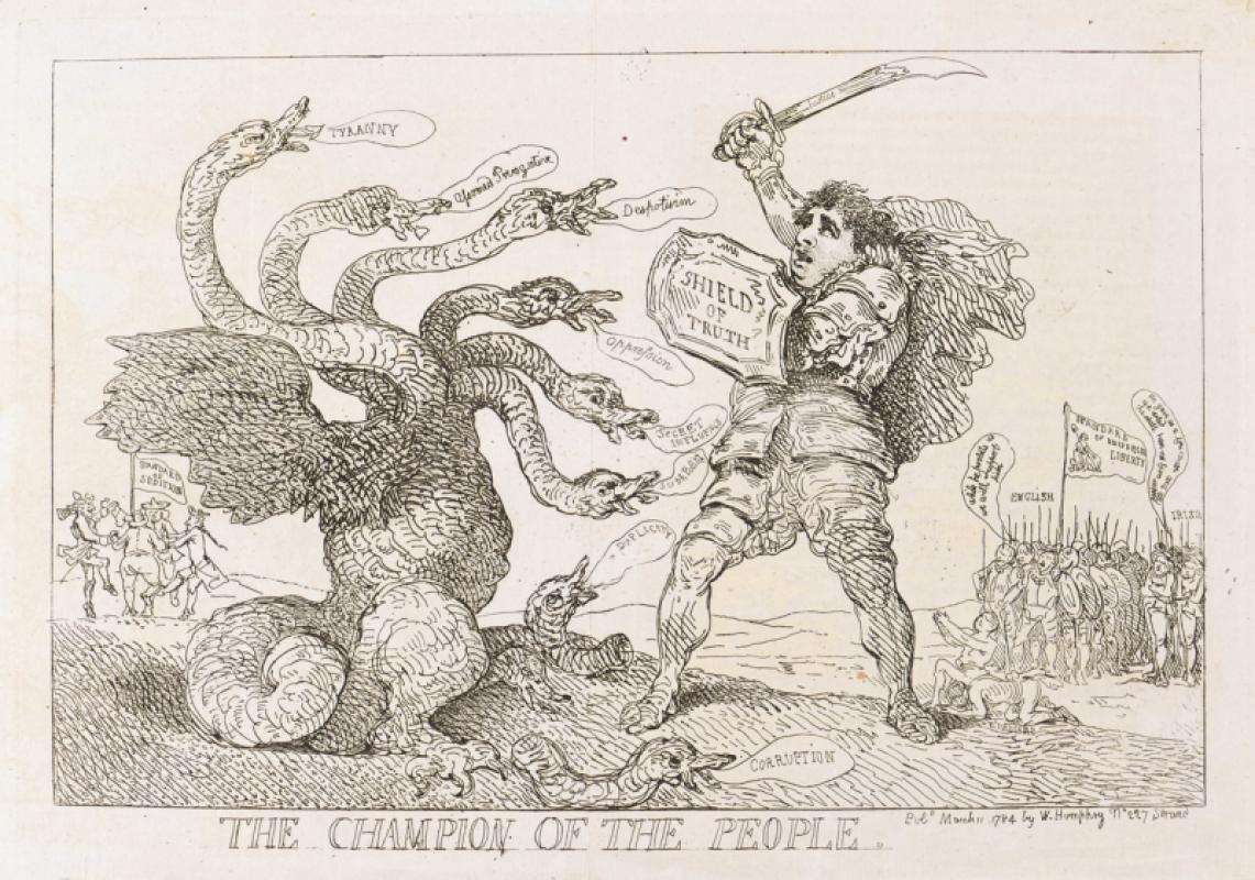
The Champion of the People.
Rowlandson (Thomas)
William Humphrey
£175.00
Offered by Robert Hall Pictures
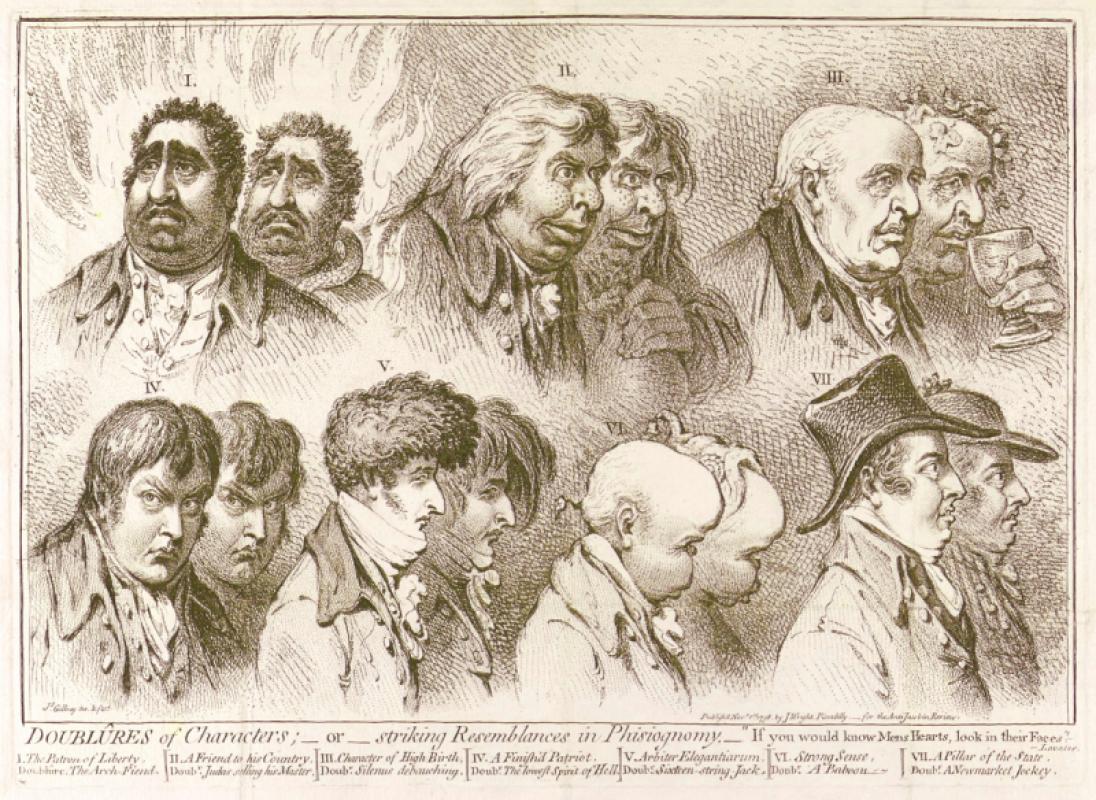
Doublûres of Characters; _ or _ striking Resemblan...
Gillray (James)
John Wright
£675.00
Offered by Robert Hall Pictures
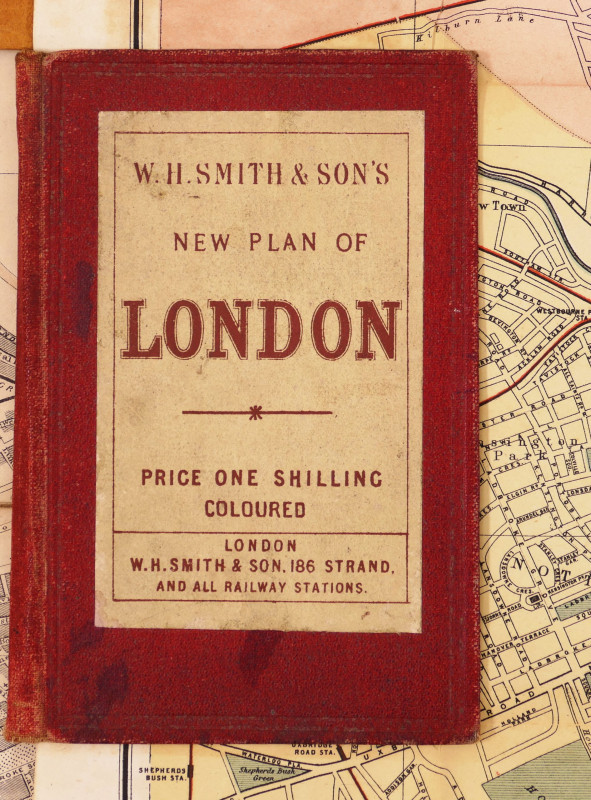
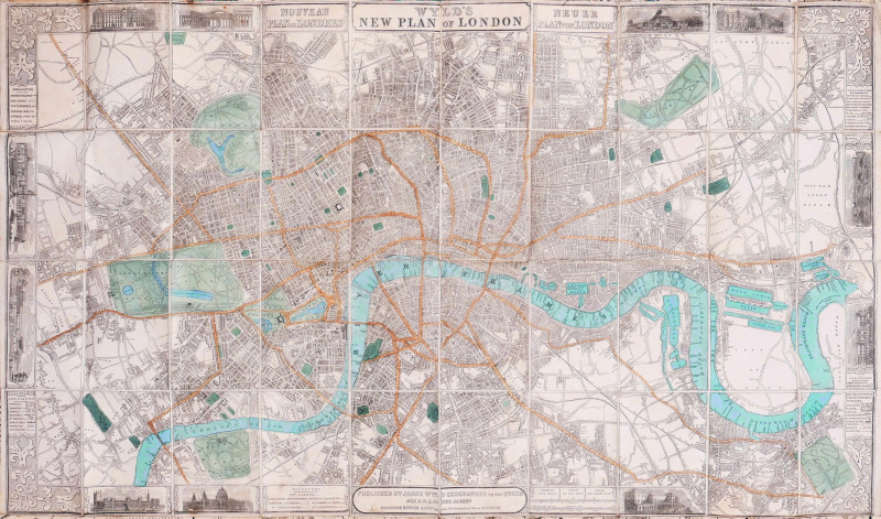
W.H. Smith & Son's Plan of London
Smith (W.H., & Son) (Publisher)
W.H. Smith & Son
£240.00
Offered by Robert Hall Pictures
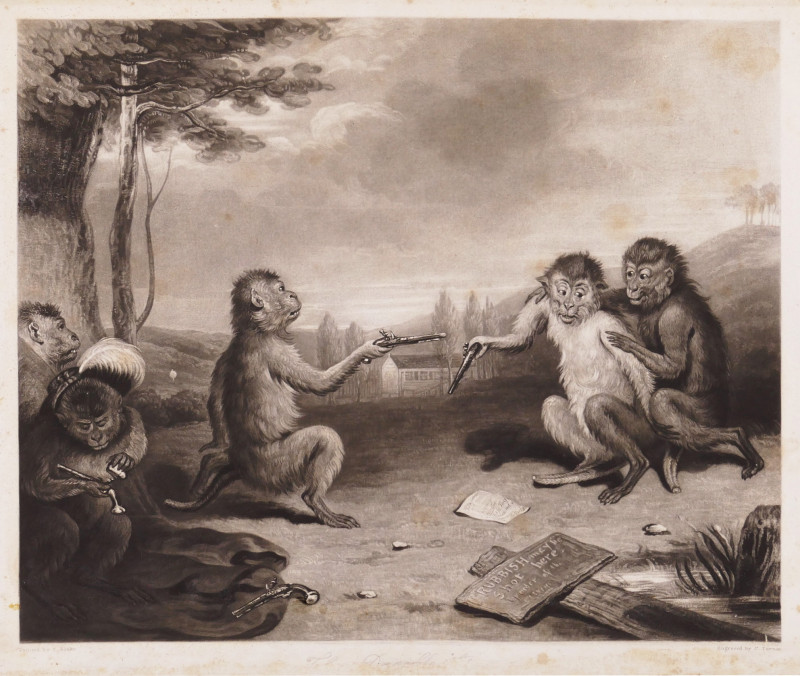
[The Duellists; The Pug-ilists, Time!!!]
Turner (Charles)
by the engraver, also Messrs Colnaghi & Son, and Messrs Moon, Boys & Graves
£300.00
Offered by Robert Hall Pictures

Spectacular view of the curvature of the earth fro...
NASA
NASA
£400.00
Offered by Robert Hall Pictures
Friends of the PBFA
Please email info@pbfa.org for more information