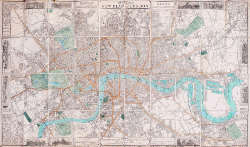
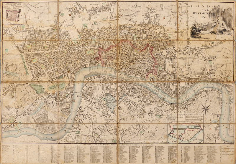
Wyld’s New Plan of London
Book Description
woodcut map with original hand-colouring, linen-backed, a couple of small rust spots affecting the vignette of the British Museum in the upper margin, folding into the publisher’s blind-embossed brown cloth boards, titled Wyld’s Map of London and Visitor’s Guide, 1853, slightly worn and soiled, publisher’s advertisement inside the front cover, [Hyde 25 (5)]
Dealer Notes
first issued and exhibited at the Great Exhibition of 1851, as one of only six maps to be displayed, three of which were by James Wyld, a highly successful publisher, Geographer to the Queen and H.R.H. Prince Albert, and MP for Bodmin. To mark the international flavour of the exhibition, the title and explanatory texts also appear in French and German. The map is bordered by 11 vignette views of prominent buildings, including the Crystal Palace and Wyld’s own domed Model of the Earth in Leicester Square. Although re-issued numerous times, this copy was the fifth issue in two years, it remained largely unaltered, even after the Crystal Palace had been relocated in South London, and his Leicester Square building demolished. The map itself extends from Islington to North Brixton, and from Holland Park to Bow Creek
Author
Wyld (James)
Date
1853
Publisher
James Wyld, London
Other books
If you liked the book you've just seen, you might be interested in other books from the same dealer below.
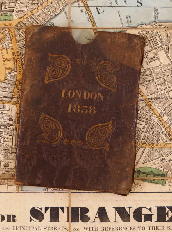
Wallis's Guide for Strangers through London, 1838
Wallis (Edward)
£750.00
Offered by Robert Hall Pictures
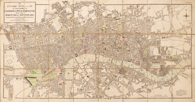
An Entire New Plan of the Cities of London & Westm...
Mogg (Edward)
£525.00
Offered by Robert Hall Pictures
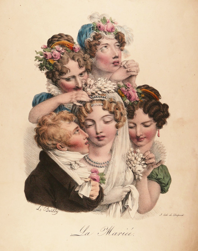
La Mariée
Boilly (Louis Léopold)
Paris, printed by François Séraphin Delpech
£110.00
Offered by Robert Hall Pictures
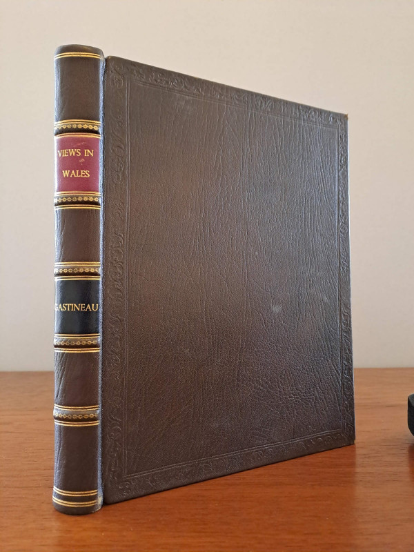
Wales Illustrated, in a series of views
Gastineau (Henry)
London, Jones & Co.
£150.00
Offered by Robert Hall Pictures
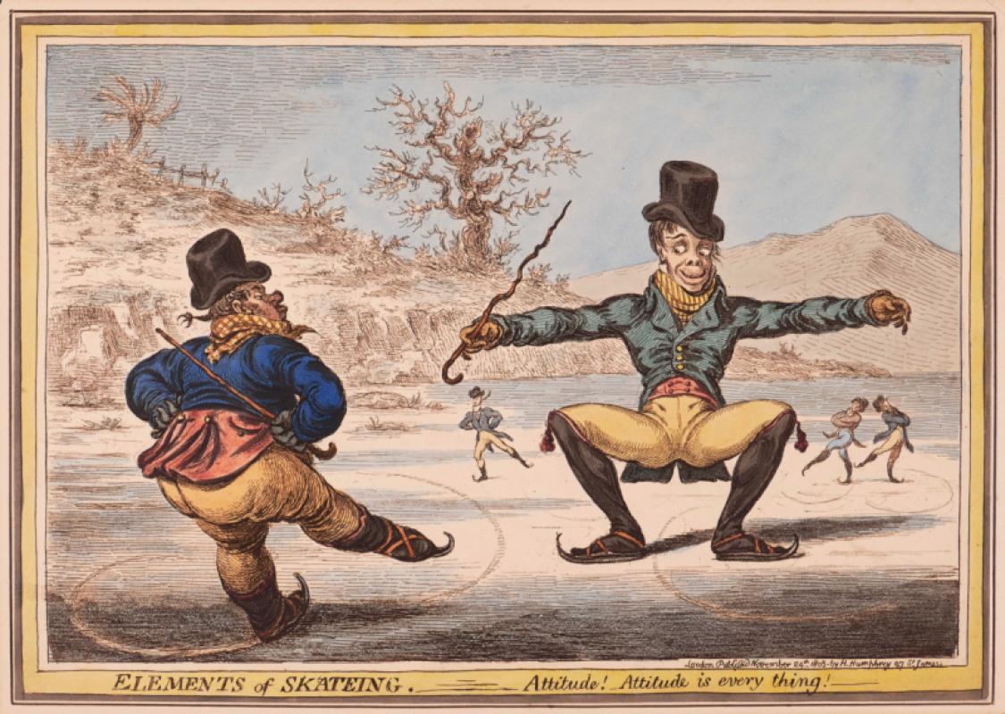
Elements of Skateing. Attitude! Attitude is every...
Gillray (James)
Hannah Humphrey
£375.00
Offered by Robert Hall Pictures
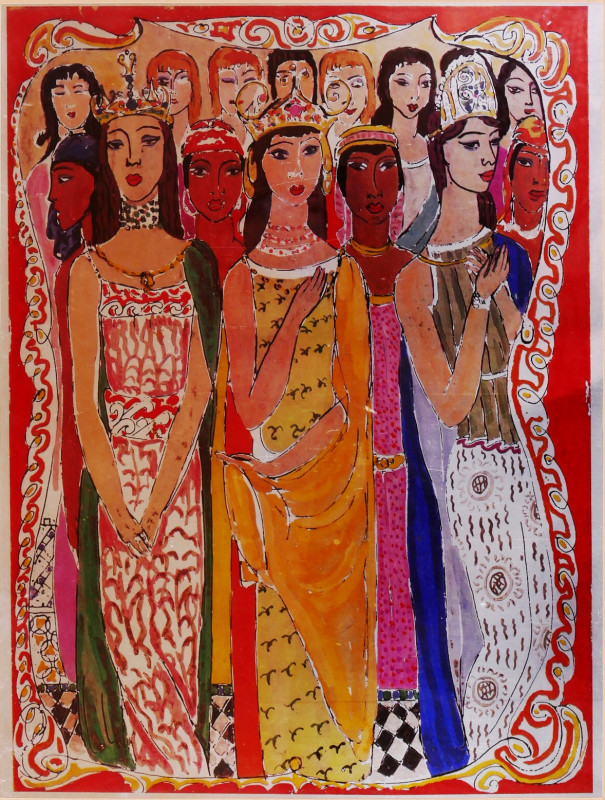
Song of Songs 5 [There are threescore Queens...]
Wolfe (Edward, RA)
printed by Senecio Press
£250.00
Offered by Robert Hall Pictures
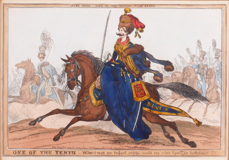
One of the Tenth, Hyde Park May 27 1829 Sketched a...
Heath (William)
Thomas McLean
£120.00
Offered by Robert Hall Pictures
Friends of the PBFA
For £10 get free entry to our fairs, updates from the PBFA and more.
Please email info@pbfa.org for more information