Cruchley’s County Atlas of England and Wales shewing all the Railways & Stations


Book Description
Cruchley’s County Atlas of England and Wales shewing all the Railways & Stations with their names, also the turnpike roads and principal crossroads to all the cities and market towns with distance from town to town delineated on a series of 46 county maps published by G Cruchley, London 1863. The atlas also has the abbreviated title of Cruchley’s Travelling County Atlas of England and Wales with all the Railways and Stations gold-stamped to the front cover. In a full leather binding in the form of a wallet, size 23 by 15 cm. Includes a map of England and Wales, thus the atlas has a total of 47 maps as called for. Maps are all double-page and hand-coloured. New black leather spine and new endpapers. Occasional foxing to the reverse of some of the maps but overall VG condition.
Author
Cruchley
Date
1863
Binding
Leather
Publisher
Cruchley
Condition
VG
Pages
94
Other books
If you liked the book you've just seen, you might be interested in other books from the same dealer below.
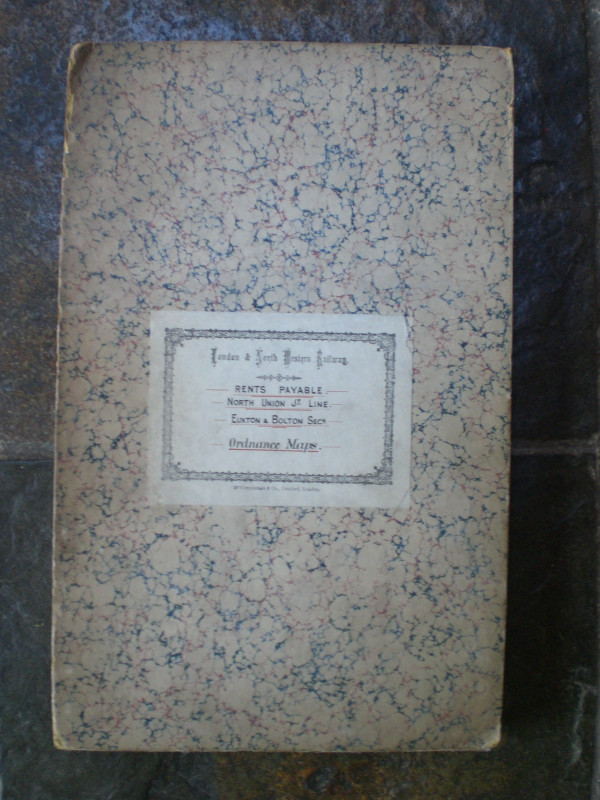
London and North Western Railway: Bolton and Chorl...
LNWR
London and North Western Railway
£145.00
Offered by Arthur Hook

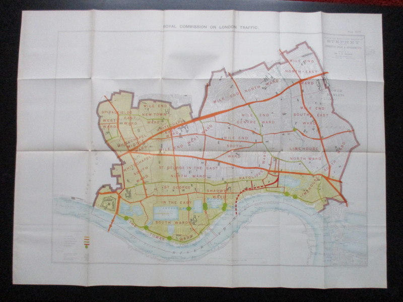
Plan of the London Metropolitan Borough of Stepney...
Ordnance Survey
Hansard
£45.00
Offered by Arthur Hook
Ministry of Transport Highway Development Survey 1...
Bressey & Lutyens.
HMSO
£90.00
Offered by Arthur Hook
Friends of the PBFA
For £10 get free entry to our fairs, updates from the PBFA and more.
Please email info@pbfa.org for more information