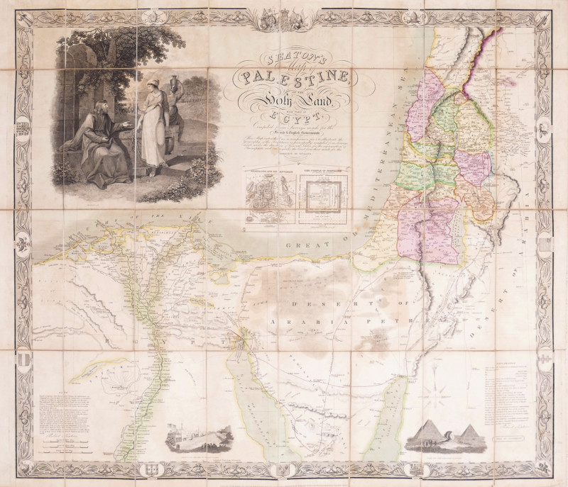
Seaton’s Map of Palestine, or the Holy Land, with Part of Egypt, Completed from Surveys made for the French & English Governments,
Book Description
Dealer Notes
Other books
If you liked the book you've just seen, you might be interested in other books from the same dealer below.
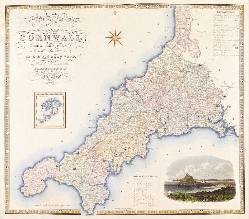
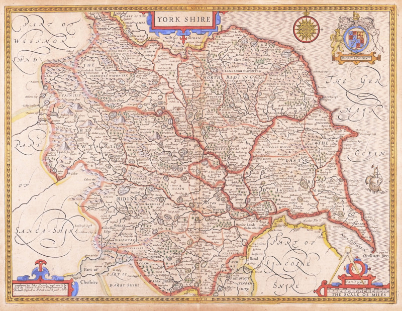
Map of the County of Cornwall from an Actual Surve...
Greenwood (Christopher and John)
Greenwood & Co
£250.00
Offered by Robert Hall Pictures
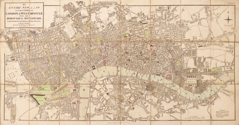
An Entire New Plan of the Cities of London & Westm...
Mogg (Edward)
£525.00
Offered by Robert Hall Pictures
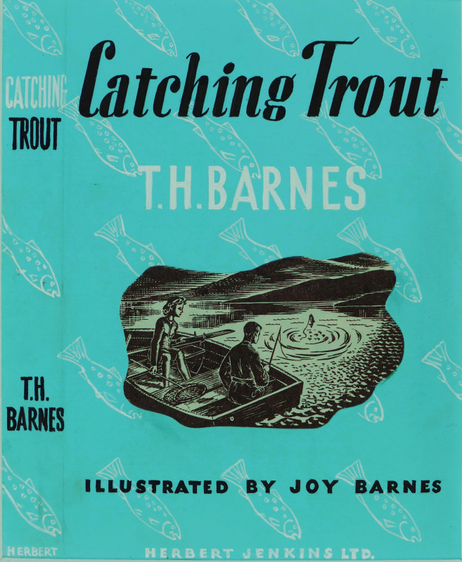
Original dust-jacket artwork for 'Catching Trout'...
Barnes (Joy)
£180.00
Offered by Robert Hall Pictures
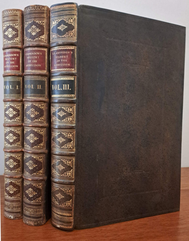
The History of the Rebellion and Civil Wars in Eng...
Clarendon (Edward, Earl of)
Oxford, at the Theatre
£1250.00
Offered by Robert Hall Pictures
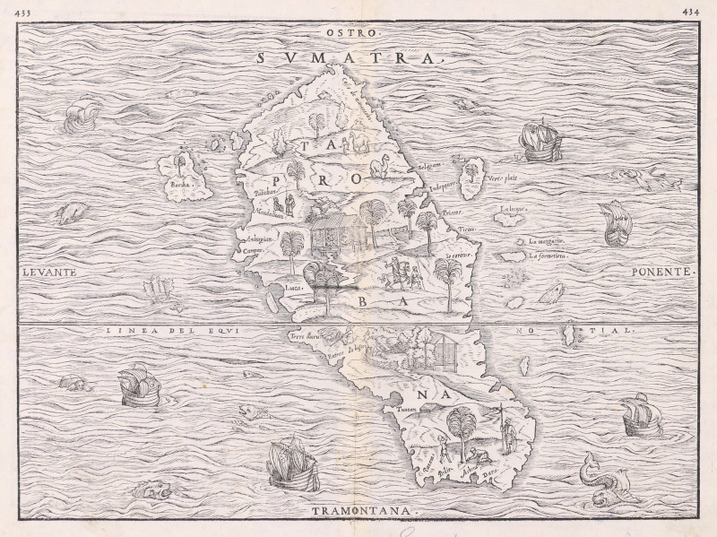
Sumatra, Taprobana,
Ramusio (Giovanni Battista)
Venice, Tommaso Giunti,
£795.00
Offered by Robert Hall Pictures
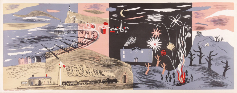
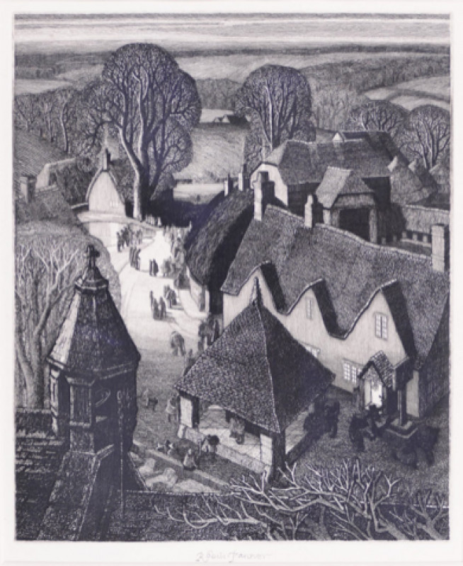
Nursery Frieze II - Landscape (Night)
Piper (John)
printed at the Curwen Press for Contemporary Lithographs Ltd.
£3000.00
Offered by Robert Hall Pictures
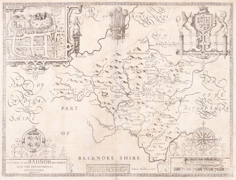
The Countie of Radnor Described, and the Shyretown...
Speed (John)
imprint of John Subdbury and George Humble [but William Humble]
£225.00
Offered by Robert Hall Pictures
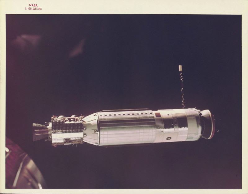
The Agena Target Docking Vehicle 44 ft from Gemini...
NASA
NASA
£400.00
Offered by Robert Hall Pictures
Friends of the PBFA
Please email info@pbfa.org for more information