RAF Mission to Malaya Maps Nickel Raid 1945
Book Description
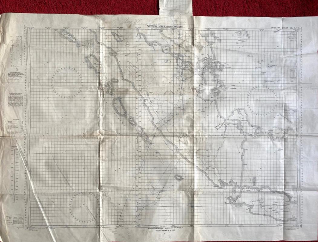
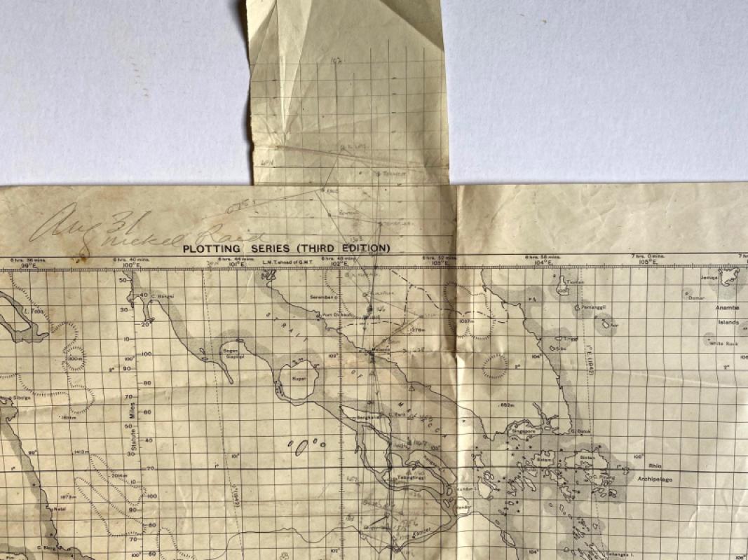
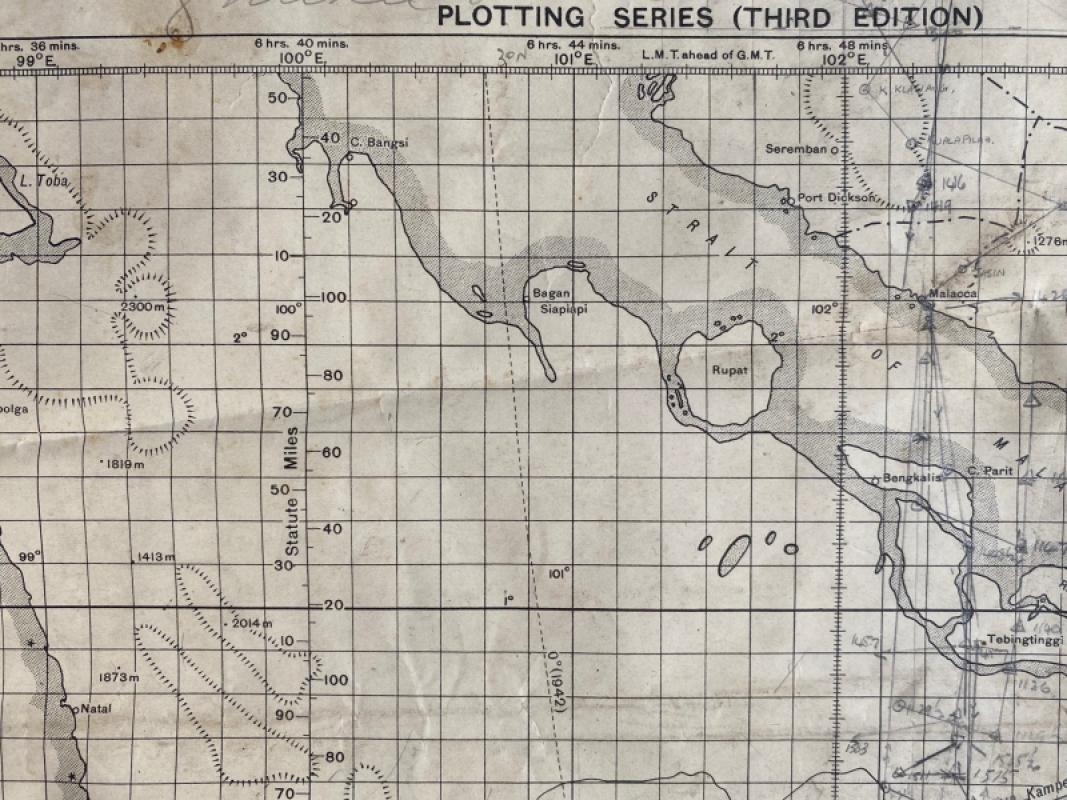
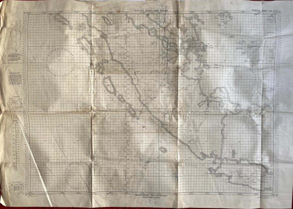
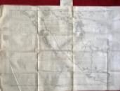
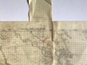
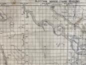
Map of Sumatra. RAF Long Range Plotting Chart. Coded Sumatra Sheet SE 8/ 94. Scale 1:1,000,000. Published by the British General Staff for use by the RAF 1941 and printed at the Survey of India Office Calcutta 1941. On paper size 112 by 87 cm. The map has been annotated in pencil to show the route across Sumatra to Malaya for what was termed a Nickel Raid on an area north of Malacca with the date August 31st. A 12 cm. square of paper pasted to the back extends above the top margin of the map on which a grid has been drawn to show the target area approximately 100 miles beyond Malacca (presumably to give the navigator the exact location of the drop zone without the need to use another large map inside the plane). The entire route to and from the drop zone is marked with what appear to be times and directions in pencil. Nickel Raids were the terms used to describe flights where RAF bombers were used to drop leaflets instead of bombs. Japan didn’t surrender in Singapore until September 12th so it is possible the leaflets dropped on this mission were intended for either local people or for the Japanese troops that remained in the area. A key gives information on features including towns of various sizes, lighthouses and lightships, tide races, fathom lines and international boundaries. Shows heights by contours and spot heights. The map shows Sumatra south from latitude 3 north to 7 degrees south of the equator, and includes part of Java and the southern tip of Malaya. Some creasing and evidence of old folds. Good condition.
With companion plan:
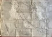
Map of Cocos Islands. RAF Long Range Plotting Chart. Coded Cocos Sheet SE 18½ 94. Scale 1:1,000,000. Published by the British General Staff for use by the RAF 1942 and printed at the Survey of India Office Calcutta 1942. On paper size 112 by 87 cm. Dated in pencil August 31st (1945). Annotated in pencil to show route planning for a flight from Cocos to Sumatra (and to link with map above and thence to Malaya) on what a note above the map describes as a “Nickel” mission. Includes Christmas Island. Has been folded. Good condition.
Author
British General Staff
Date
1945
Publisher
Unpublished
Condition
Good
Pages
2
Other books
If you liked the book you've just seen, you might be interested in other books from the same dealer below.
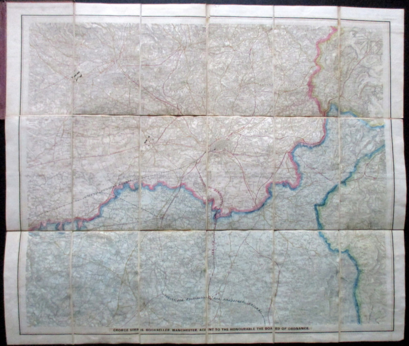
Ordnance Survey Map of Manchester & Neighbourhood...
Simms
Ordnance Survey
£65.00
Offered by Arthur Hook
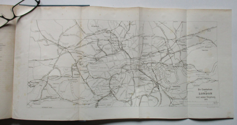
Uber das Englische Eisenbahnwesen- English Railway...
Schwabe
Ernst and Korn
£100.00
Offered by Arthur Hook
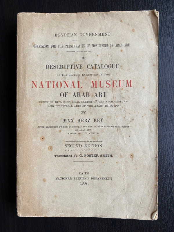
A Descriptive Catalogue of the Objects Exhibited i...
Max Herz
National Printing Department, Cairo
£115.00
Offered by Arthur Hook
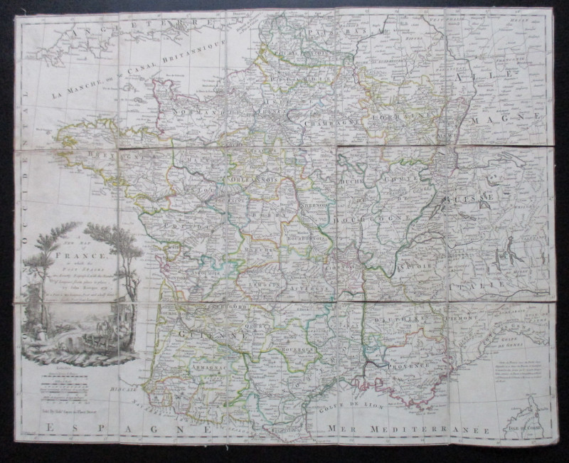
A New Map of France in which the Post Stages are E...
Rocque
Rocque and Sayer
£295.00
Offered by Arthur Hook
Friends of the PBFA
For £10 get free entry to our fairs, updates from the PBFA and more.
Please email info@pbfa.org for more information