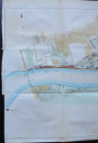
Plan of the River Thames from Battersea Bridge to Vauxhall Bridge 1845

Book Description
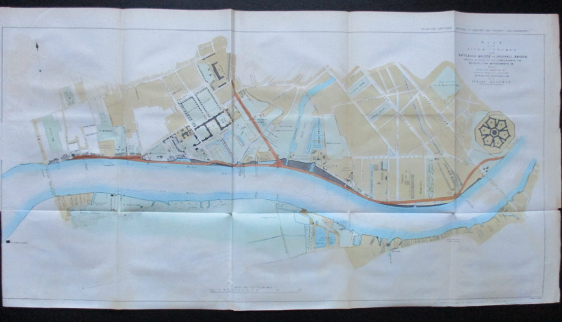
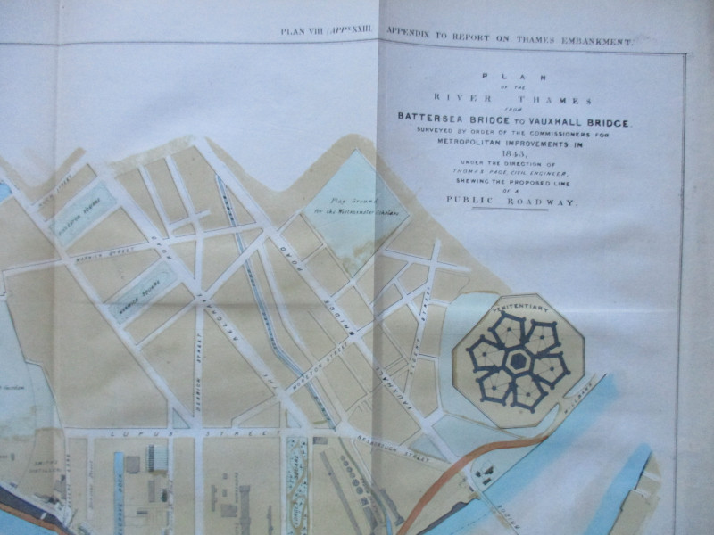
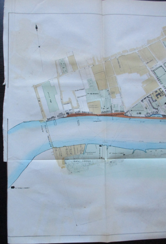
Plan of the River Thames from Battersea Bridge to Vauxhall Bridge surveyed by order of Her Majesty's Commissioners for Metropolitan Improvements1843 under the direction of Thomas Page Civil Engineer shewing the Proposed Line of a Public Roadway. Lithographed by Standidge printed by Hansard and published for the House of Commons June 1845. On paper size 84 by 44 cm. Scale 400 feet to the mile. Some hand-colouring. Covers the streets of Chelsea as far north as the Kings Road and much of Pimlico to Vauxhall Bridge Road. The Battersea side of the Thames is also included with market garden wharves docks and various works all shown in detail. Hand-coloured. Has been folded. VG condition.
Author
Page
Date
1845
Publisher
Hansard
Illustrator
Standidge
Condition
VG
Other books
If you liked the book you've just seen, you might be interested in other books from the same dealer below.
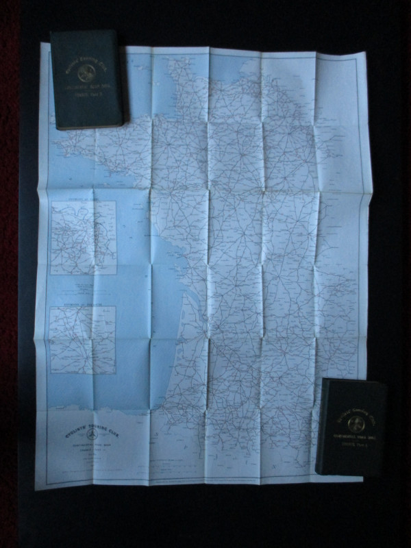
CTC Cycling Handbooks & Maps of France 1900
Anon
CTC & Andriveau Goujon
£50.00
Offered by Arthur Hook

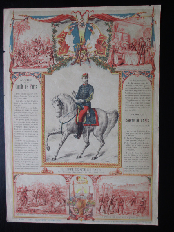
French Royalist Publicity Poster Philippe Comte de...
Philippe Comte de Paris
Thomas and Conferon
£45.00
Offered by Arthur Hook
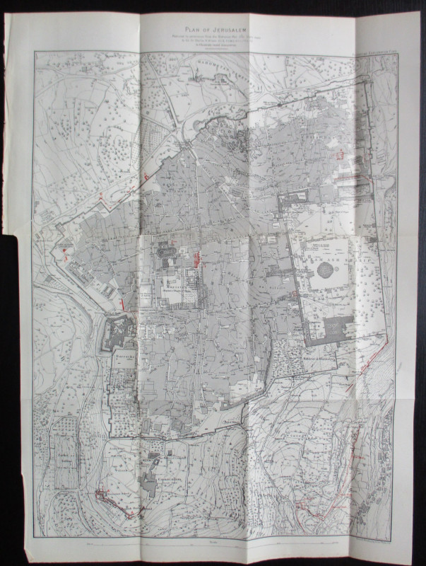
Plan of Jerusalem to illustrate Recent Discoveries...
Wilson
Palestine Exploration Fund
£95.00
Offered by Arthur Hook
Friends of the PBFA
For £10 get free entry to our fairs, updates from the PBFA and more.
Please email info@pbfa.org for more information