Map Shewing Route of the North Greenland Expedition of 1891-92 led by R E Peary
Book Description
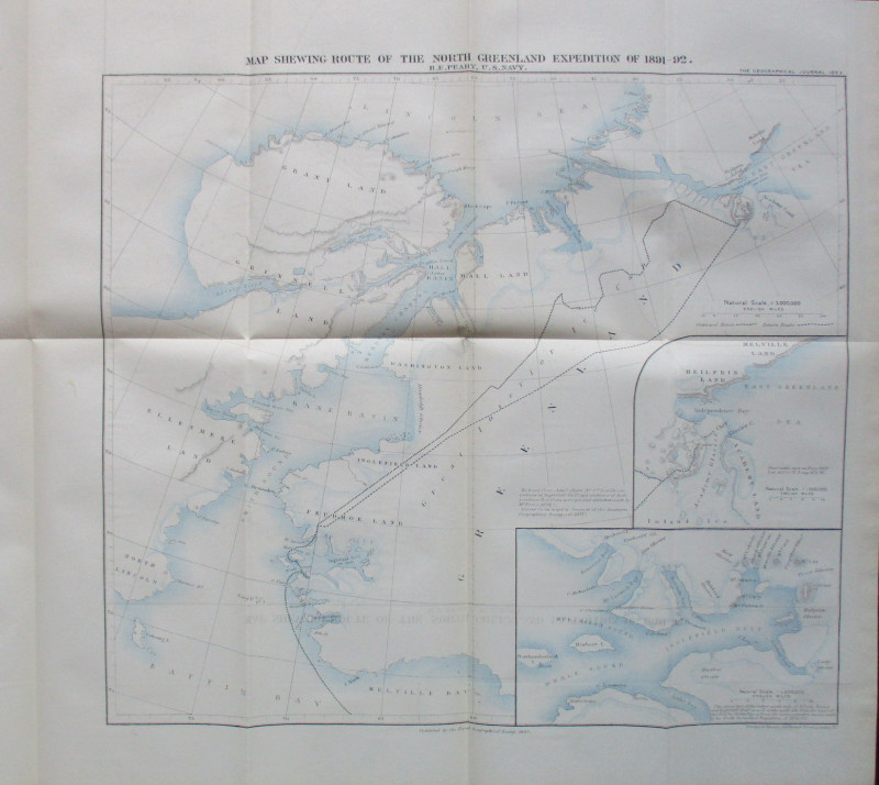
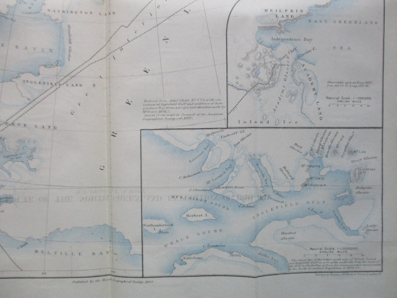
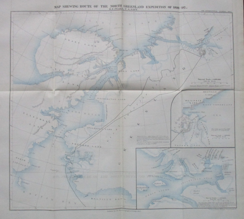
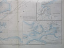
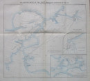
Map Shewing Route of the North Greenland Expedition of 1891-92 led by R E Peary of the US Navy. Published by the Royal Geographical Society, London 1893. On paper size 52 by 36 cm. Actually three maps in one: one large map of northern Greenland and two inset maps on a larger scale; of the Whale Sound and Inglefield Gulf shorelines, and of Heilprin Land, Independence Bay and the Academy Glacier. These are on scales of 1:000,000 and 1:500,000 respectively. Some colour. Has been folded. Some minor offsetting. VG condition.
Author
Peary
Date
1893
Publisher
Royal Geographical Society
Condition
VG
Other books
If you liked the book you've just seen, you might be interested in other books from the same dealer below.
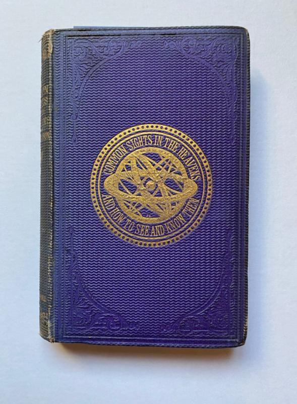
The Common Sights in the Heavens and How to See an...
Drayson
Chapman and Hall
£225.00
Offered by Arthur Hook
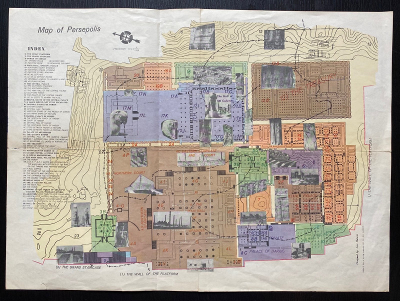
Map of Persepolis & Iran 1955
Hatami
Iranian Government Department of Communications
£45.00
Offered by Arthur Hook
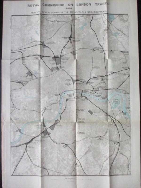
Three Maps showing the position of the Principal G...
Royal Commission on London Traffic
Hansard
£150.00
Offered by Arthur Hook
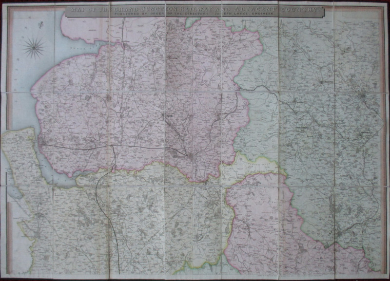
Map of the Grand Junction Railway and Adjacent Cou...
Cheffins
Cheffins
£350.00
Offered by Arthur Hook
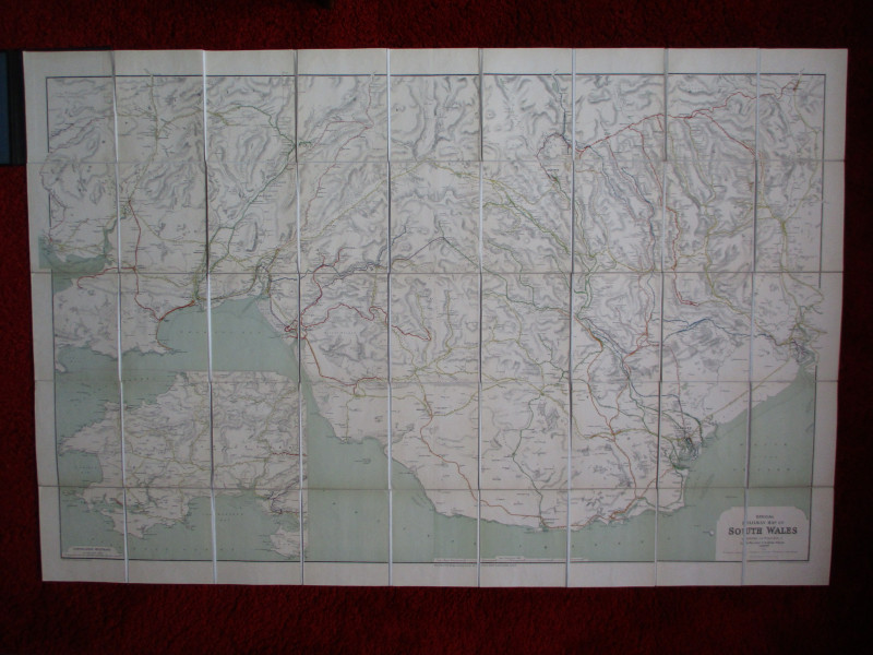
Railway Clearing House Map of South Wales 1926
Emslie
Railway Clearing House
£125.00
Offered by Arthur Hook
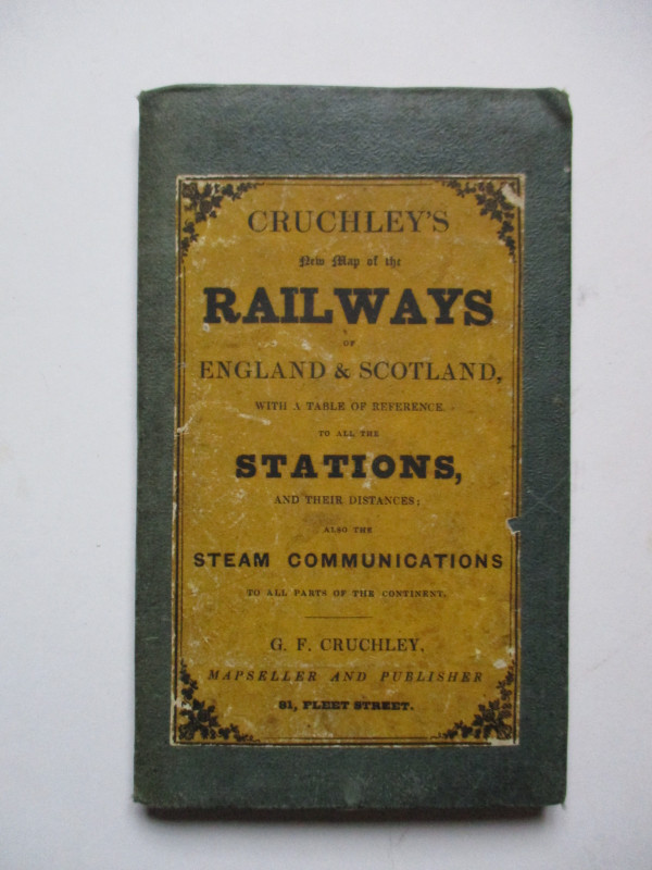
Cruchley’s New Map of the Railways of England and...
Cruchley
Cruchley
£85.00
Offered by Arthur Hook
Friends of the PBFA
For £10 get free entry to our fairs, updates from the PBFA and more.
Please email info@pbfa.org for more information