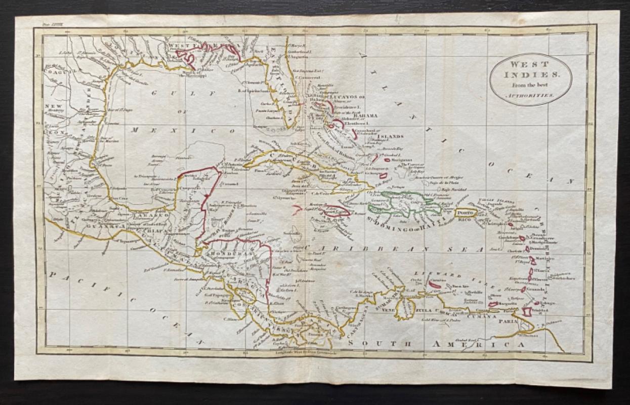
Map of the West Indies 1818
Book Description
Map of the West Indies from the Best Authorities Engraved by John Russell and published by Rivington, Wilkie and others, London 1818 for an Atlas to Guthrie’s Geographical Grammar. On paper size 34 by 21 cm. Uncoloured. Some hand colouring. In the part of the USA shown on the map West and East Florida are shown separately. The map has a piano key style border with latitude and longitude along each edge. Guthrie’s Atlas was first published in the late 18th century and the London engraver and printer John Russell provided the maps of the 1818 edition. Has been folded. Good to VG condition.
Author
Russell
Date
1818
Publisher
Rivington, Wilkie and others
Illustrator
Russell
Condition
Good to VG
Other books
If you liked the book you've just seen, you might be interested in other books from the same dealer below.
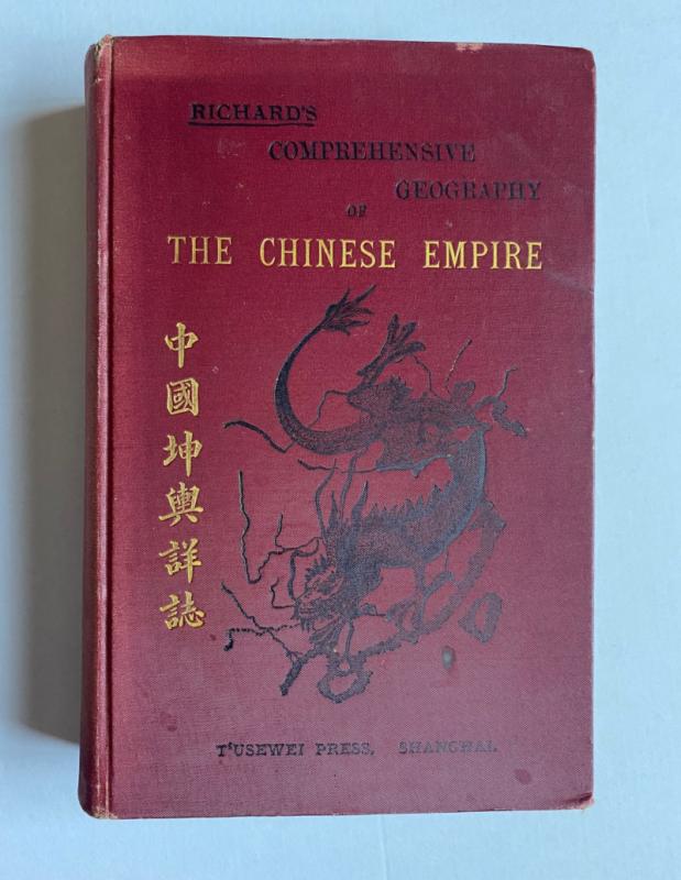
Richard’s Comprehensive Geography of the Chinese E...
Kennelly
T’Usewei Press
£210.00
Offered by Arthur Hook


A Map of Brighton “The Queen of Watering Places” f...
Sayer
Strand Magazine
£40.00
Offered by Arthur Hook
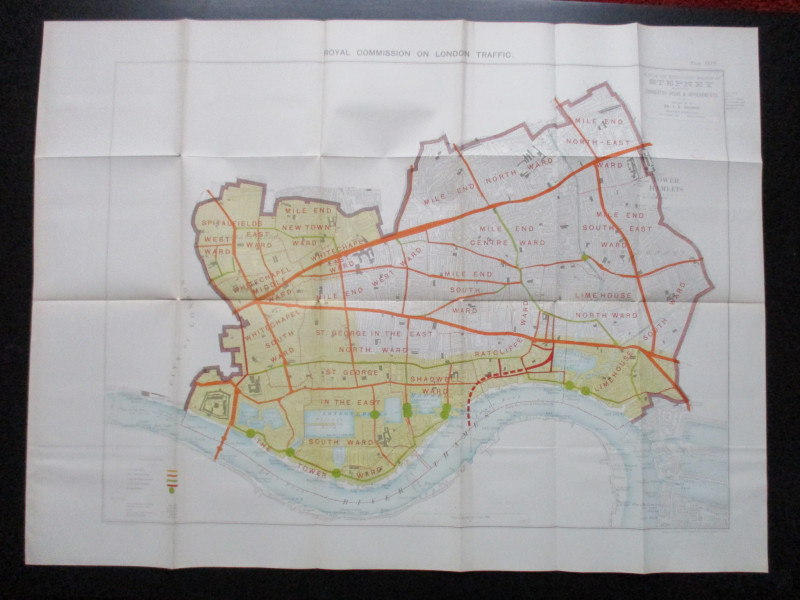
Plan of the London Metropolitan Borough of Stepney...
Ordnance Survey
Hansard
£45.00
Offered by Arthur Hook

Friends of the PBFA
For £10 get free entry to our fairs, updates from the PBFA and more.
Please email info@pbfa.org for more information