Map of Southern Arabia (Southern Arabia Aden Protectorate Sheet 2) 1958
Book Description
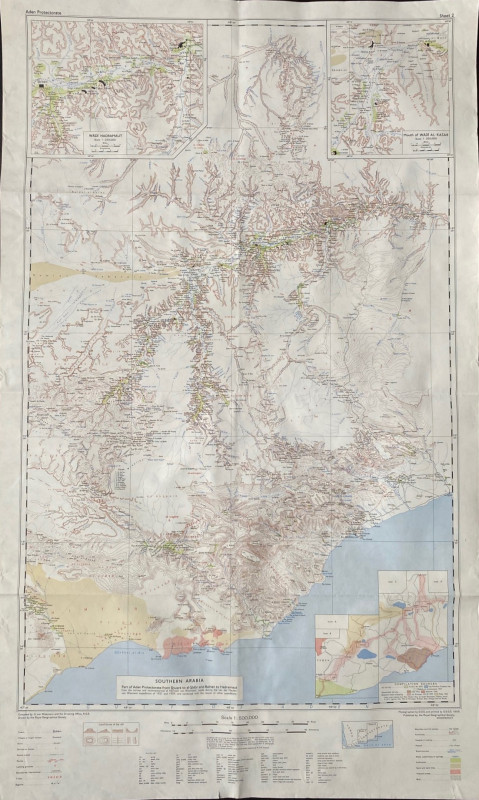
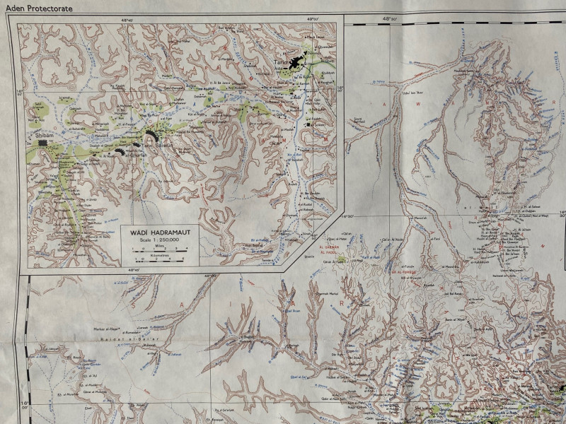
Map of Southern Arabia (Southern Arabia Aden Protectorate Sheet 2). published by the Royal Geographical Society London 1958. Coded 8000/8/87/ 3818 R. Printed by GSGS 1958. On paper size 86 by 52 cm. Scale 1:500,000. Colour. Includes two inset maps on a scale of 1:250,000 of Wadi Hadramaut and Mouth of Wadi Al-Kasar. With a key to features including towns, villages, ruins, shrines, roads and other routes, landing grounds, tribes, watercourses, passes, cultivation etc. and a glossary of over 50 terms in Arabic used in the map. The map is based on the surveys and reconnaissances of von Wissman in 1931 and 1939 combined with the results of other expeditions. Has been folded. VG condition
Author
Royal Geographical Society
Date
1958
Publisher
Royal Geographical Society
Condition
VG
Other books
If you liked the book you've just seen, you might be interested in other books from the same dealer below.
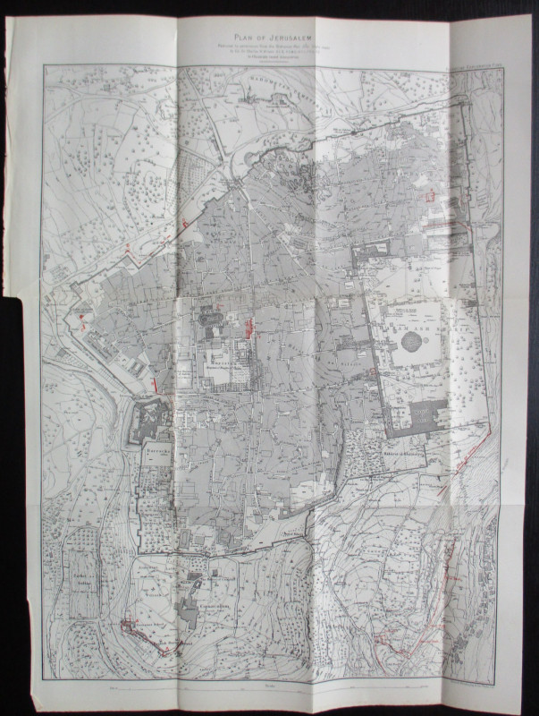
Plan of Jerusalem to illustrate Recent Discoveries...
Wilson
Palestine Exploration Fund
£95.00
Offered by Arthur Hook
The University Boat Race Official Centenary Histor...
Drinkwater and Sanders
Cassell
£45.00
Offered by Arthur Hook
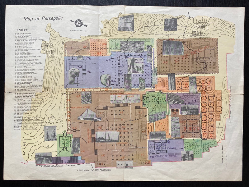
Map of Persepolis & Iran 1955
Hatami
Iranian Government Department of Communications
£45.00
Offered by Arthur Hook

Friends of the PBFA
For £10 get free entry to our fairs, updates from the PBFA and more.
Please email info@pbfa.org for more information