Map of Paris 1871

Book Description
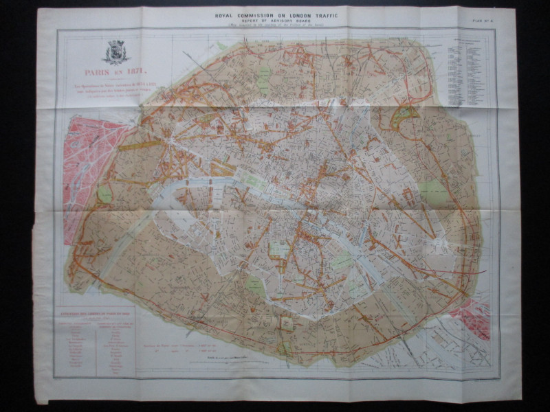
A Map of Paris 1878 by Alphand and Fauve. Paris En 1878. Les Operations de Voirie executes de 1854 à 1871 sont indiquées par des tientes jaunes et rouges (new roads and changes are shown in yellow and red). lithographed by Weller and Graham, London 1905 from a map originally published in Paris, 1889. A folding map on paper size 83 by 68 cm. Scale approximately 400 metres to the inch. With a key to 80 streets in 20 arrondissements and quartiers and a panel of text summarising the extension of the city limits in 1860. A very detailed map with almost every street named, all railways, stations etc. Includes the coat of arms of the city above the title. VG condition.
Author
Alphand and Fauve
Date
1905
Publisher
Hansard
Illustrator
Alphand and Fauve
Condition
VG
Other books
If you liked the book you've just seen, you might be interested in other books from the same dealer below.
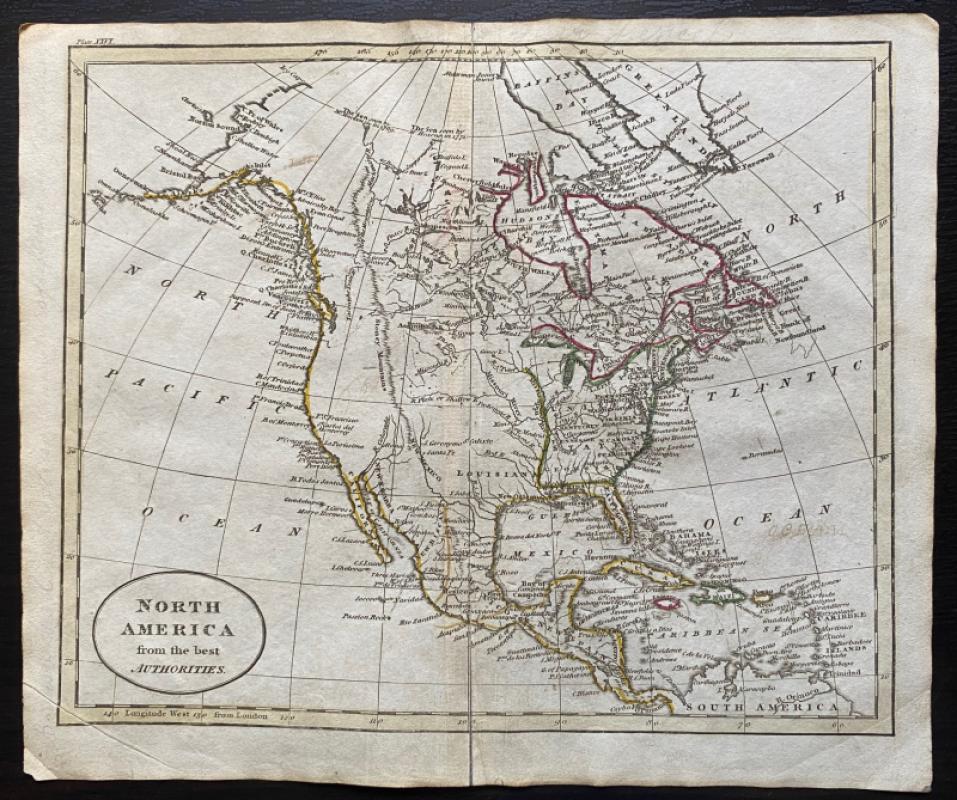
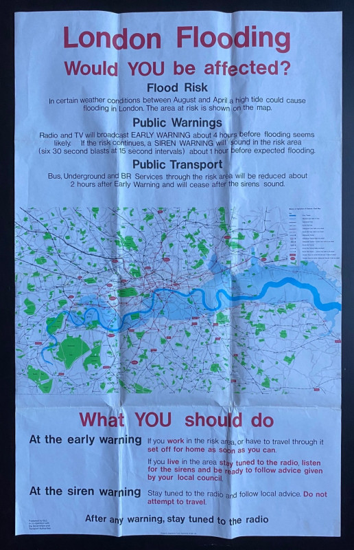
Map of North America from the Best Authorities
Russell
Rivington, Wilkie and others
£100.00
Offered by Arthur Hook
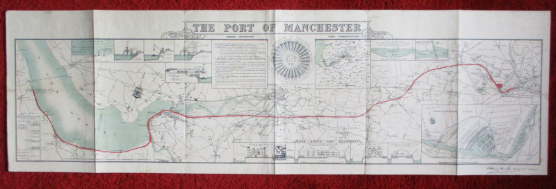
Map of the Port of Manchester & Ship Canal 1902
Falkner
Manchester Ship Canal
£125.00
Offered by Arthur Hook

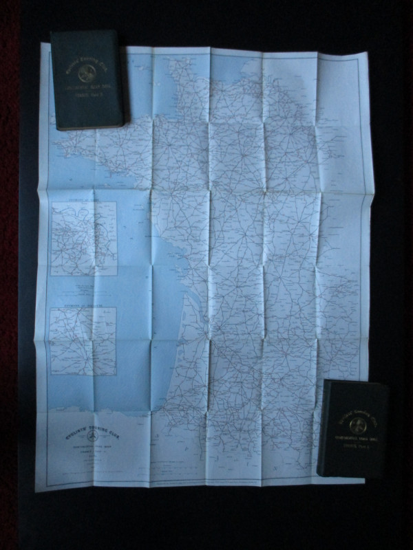
CTC Cycling Handbooks & Maps of France 1900
Anon
CTC & Andriveau Goujon
£50.00
Offered by Arthur Hook
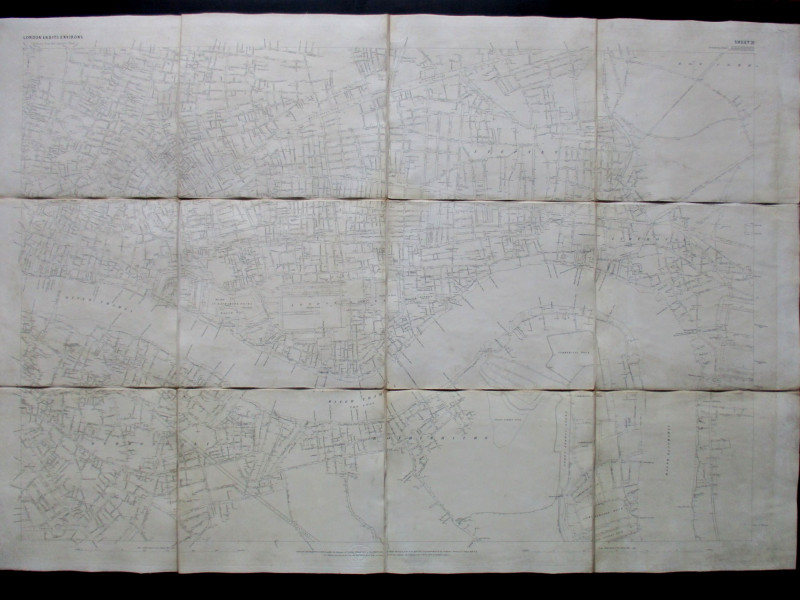
Ordnance Survey map of City of London (part) with...
Yelland
Ordnance Survey
£55.00
Offered by Arthur Hook
Friends of the PBFA
For £10 get free entry to our fairs, updates from the PBFA and more.
Please email info@pbfa.org for more information