Map of Canton 1942
Book Description
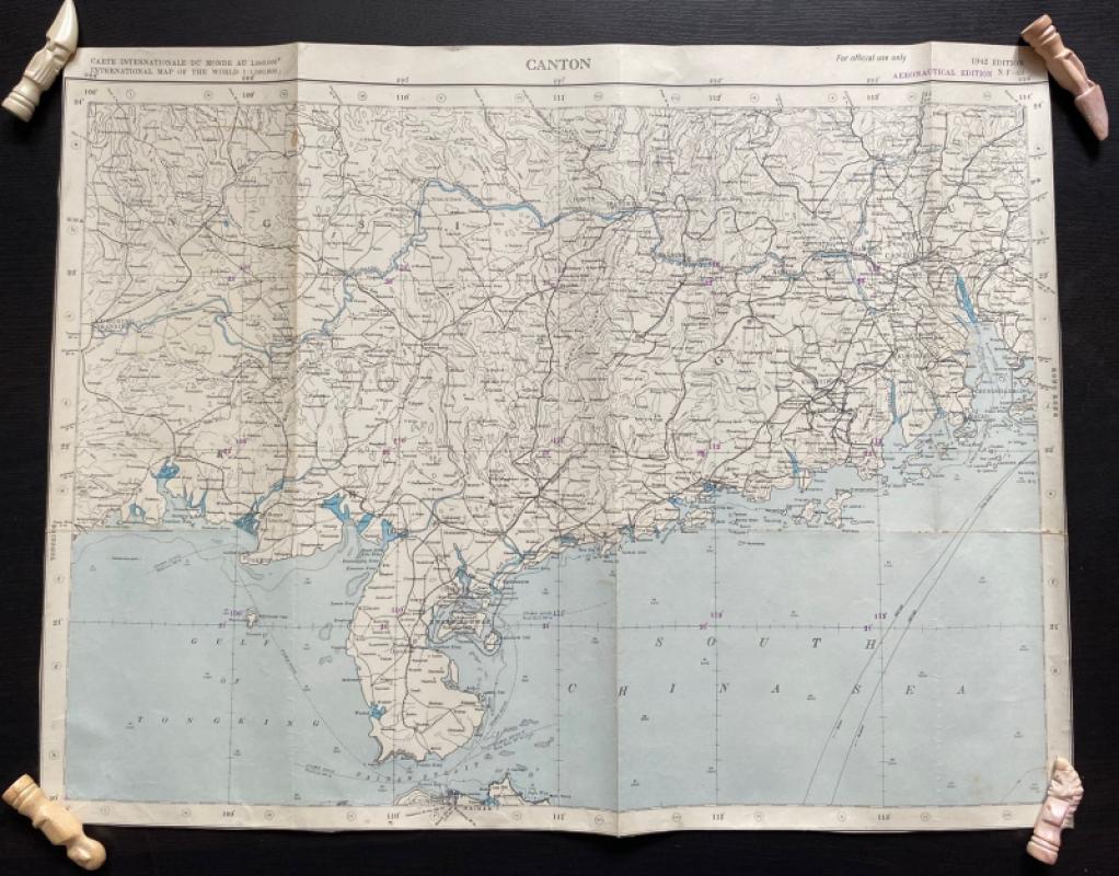
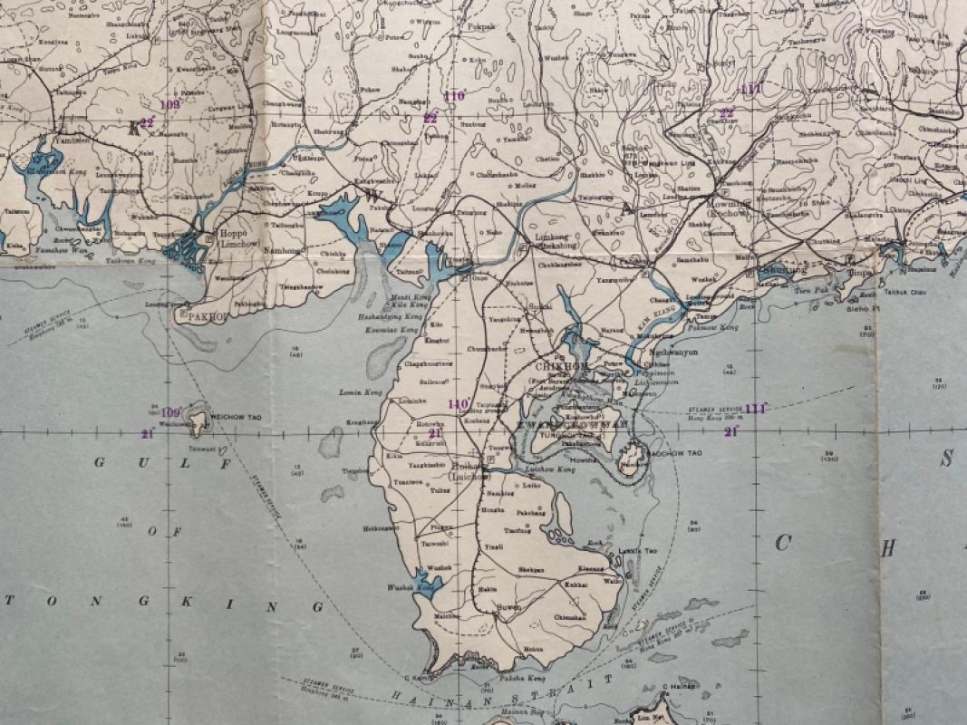
Map of Canton 1942. Published by the US Army as part of a series of International Maps of the World and coded NF-49, Aeronautical Edition. On paper size 65 by 50 cm. Scale 1;1,000,000. Colour. Shows Canton, Macao, the coast and the Hainan Strait and an area inland that includes Wuchow. Has been folded. A detailed map in Good condition.
Author
US Army
Date
1942
Publisher
US Army
Condition
Good
Other books
If you liked the book you've just seen, you might be interested in other books from the same dealer below.
Enlarged plan of Central Manchester with the Penit...
Rennie
Arrowsmith
£70.00
Offered by Arthur Hook
The War of Steel and Gold- Bertrand Russell Signed...
Brailsford
Bell
£450.00
Offered by Arthur Hook
Friends of the PBFA
For £10 get free entry to our fairs, updates from the PBFA and more.
Please email info@pbfa.org for more information