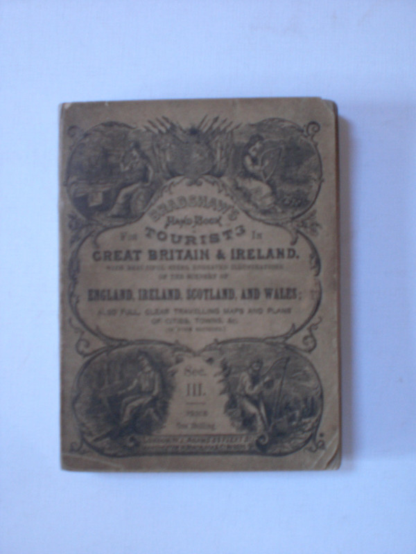
Bradshaw's Illustrated Tourists' Hand-Book of Great Britain and Ireland Section III, 1880
Book Description
Bradshaw's Illustrated Tourists' Hand-Book of Great Britain and Ireland, with beautiful steel engraved illustrations of the scenery of England, Ireland, Scotland and Wales; also full clear travelling maps and plans of cities, towns etc. In four sections. Section III. Published by Adams, London circa 1880. In original card covers illustrated with engravings of four characters symbolising the home nations. Size 15.5 by 11.5 cm. 128 pages of text, plus another 78 pages of timetables and some fascinating contemporary advertising. This particular volume covers the Midlands, the North-East, North-West, the Lake District and the Isle of Man. Includes folding maps of Birmingham, Manchester, Liverpool, Leeds and Hull. Occasional foxing, mainly to the reverse of the maps. Overall Good to VG condition.
Author
Bradshaw
Date
1880
Binding
Card covers
Publisher
1880
Condition
Good to VG
Other books
If you liked the book you've just seen, you might be interested in other books from the same dealer below.

The Experienced English Housekeeper, for the use a...
Raffald
Baldwin
£210.00
Offered by Arthur Hook
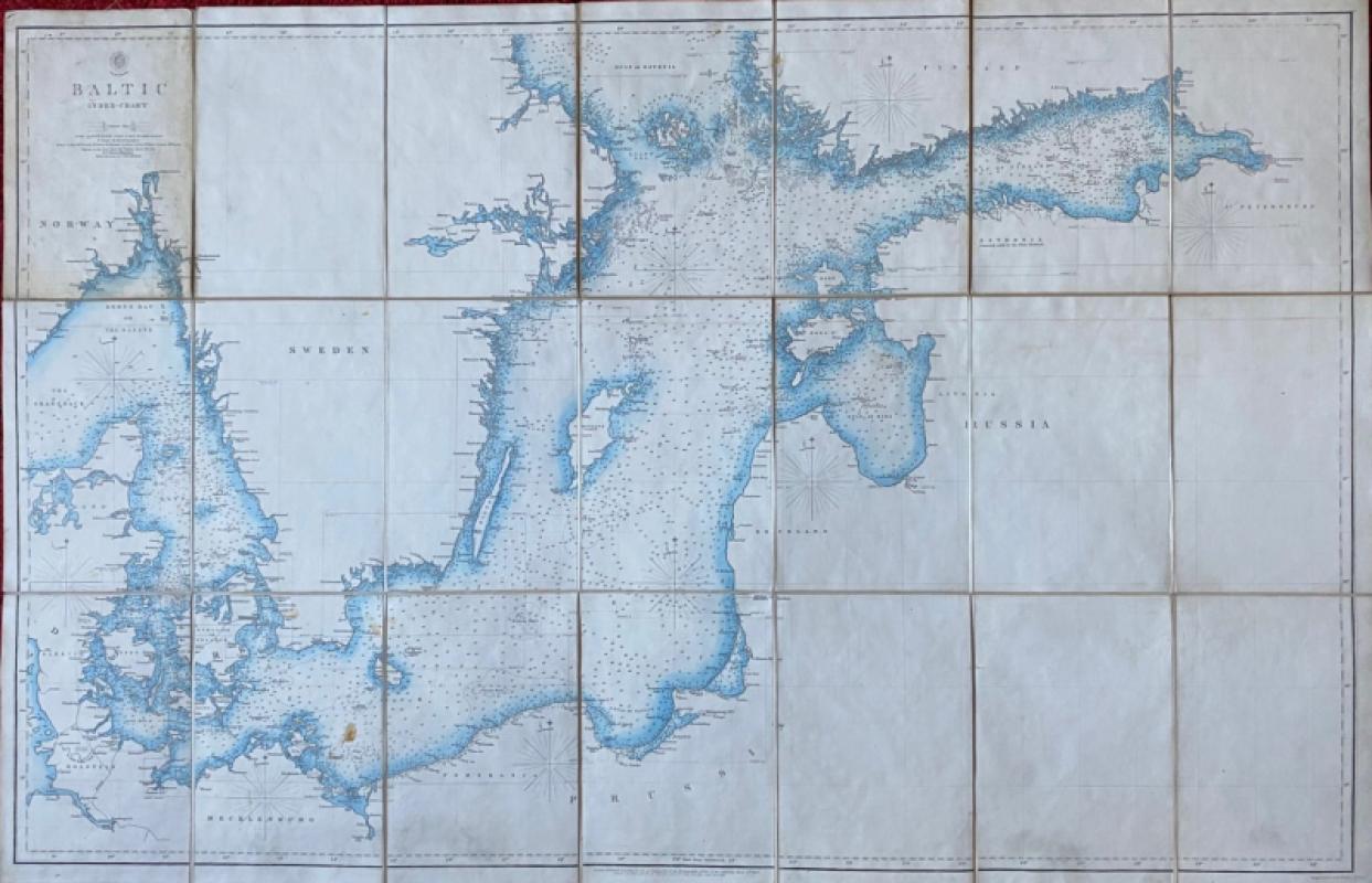
Map of the Baltic 1854
Anon
Hydrographic Office of the British Admiralty
£100.00
Offered by Arthur Hook
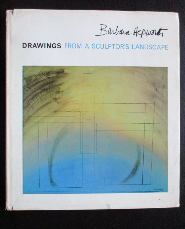
Barbara Hepworth Drawings from a Sculptor’s Landsc...
Hepworth
Cory Adams and Mackay
£45.00
Offered by Arthur Hook
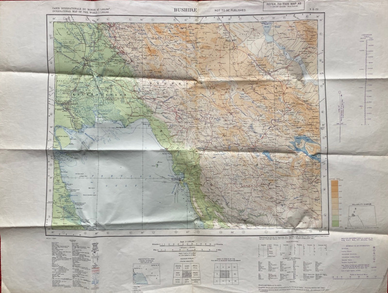
Map of Bushire (Persian Gulf) 1942
British War Office
British War Office
£75.00
Offered by Arthur Hook
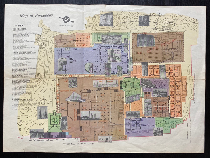
Map of Persepolis & Iran 1955
Hatami
Iranian Government Department of Communications
£45.00
Offered by Arthur Hook
Friends of the PBFA
For £10 get free entry to our fairs, updates from the PBFA and more.
Please email info@pbfa.org for more information