Map of Bandar Abbas with Oman & Abu Dhabi 1957

Book Description
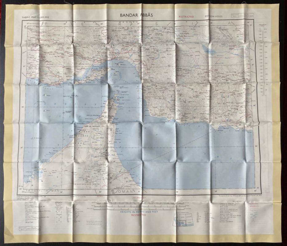
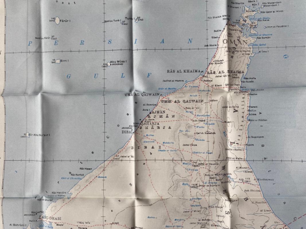
Map of Bandar Abbas with Oman, Abu Dhabi and southern Iran. Published by the British War Office, London 1957. On treated cotton size 72 by 63 cm, Scale 1:1,000,000. Coded GSGS 350 Misc. 1st edition of this escape map. With a key to features including caravan halting places, forts, mosques, wireless stations etc.; a second key to geographical features and a glossary of Iranian terms used in the map. Some colour. Folds down to pocket size. VG condition. To the reverse is a map of Hofuf on the same scale. This is marked restricted. It covers Qatar, neighbouring parts of Saudi Arabia and some of the coast of Trucial Oman. The map has a key to towns of various sizes and provinces (with their tribal names), railways (with their various gauges), oil pipe lines and oil wells etc, and another key to features such as rivers, fords, canals, waterholes, wells, post offices, churches, mosques, minarets, tombs, temples and forts. VG condition.
Author
British War Office
Date
1957
Publisher
British War Office
Condition
VG
Other books
If you liked the book you've just seen, you might be interested in other books from the same dealer below.
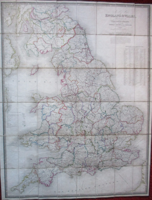
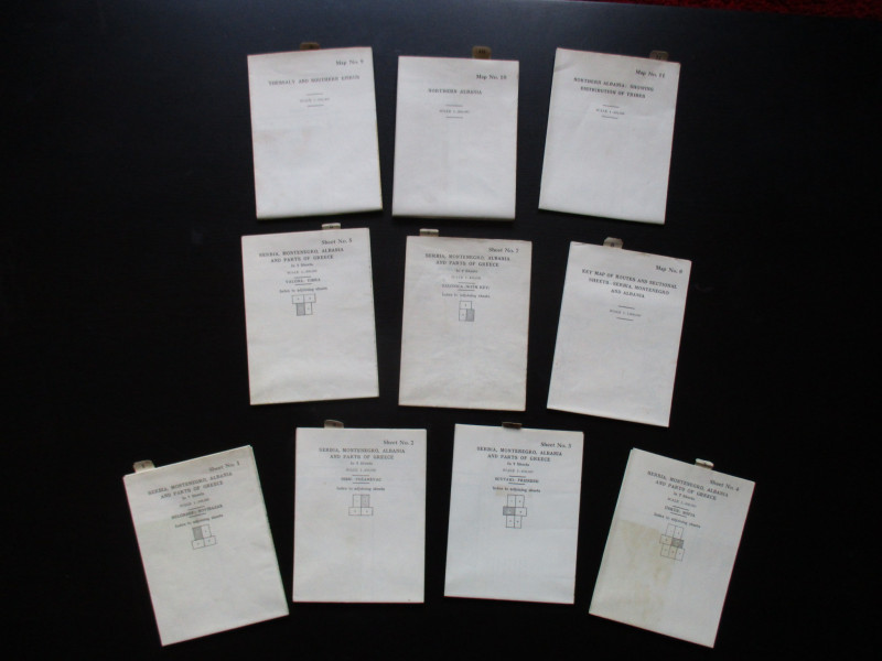
Maps to accompany Handbooks of Serbia, Montenegro...
British Admiralty War Staff
Ordnance Survey & British Admiralty
£295.00
Offered by Arthur Hook
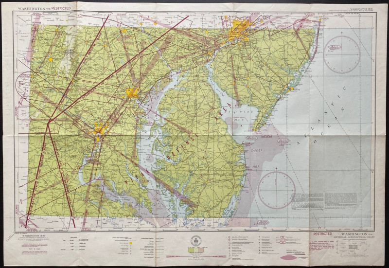
Map of Washington Air Defence Zone 1942
Colbert
US Coast and Geodetic Survey
Reserved
Offered by Arthur Hook
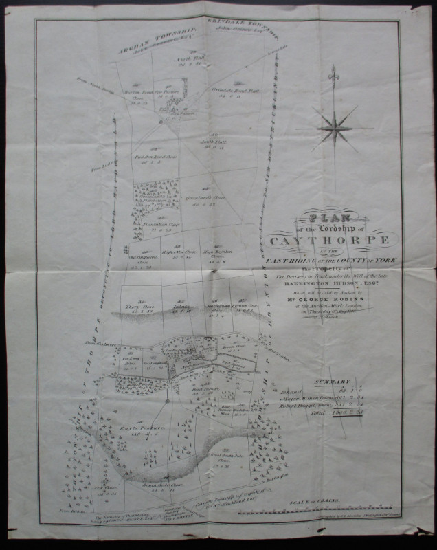
Plan of the Lordship of Caythorpe in the East Ridi...
Madeley
Madeley
Reserved
Offered by Arthur Hook
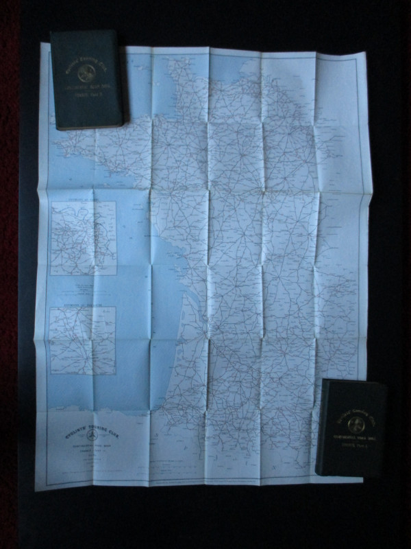
CTC Cycling Handbooks & Maps of France 1900
Anon
CTC & Andriveau Goujon
£50.00
Offered by Arthur Hook
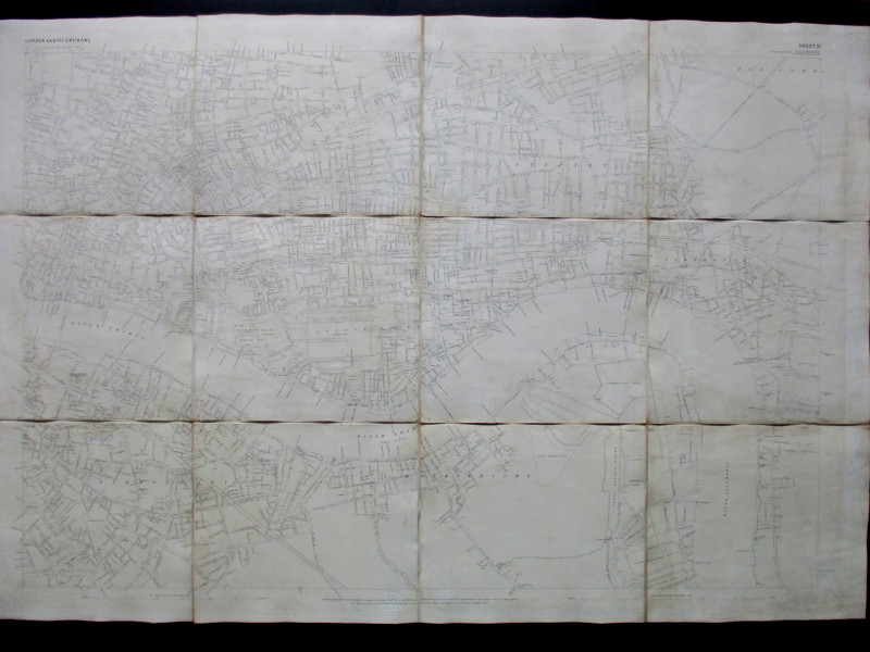
Ordnance Survey map of City of London (part) with...
Yelland
Ordnance Survey
£55.00
Offered by Arthur Hook
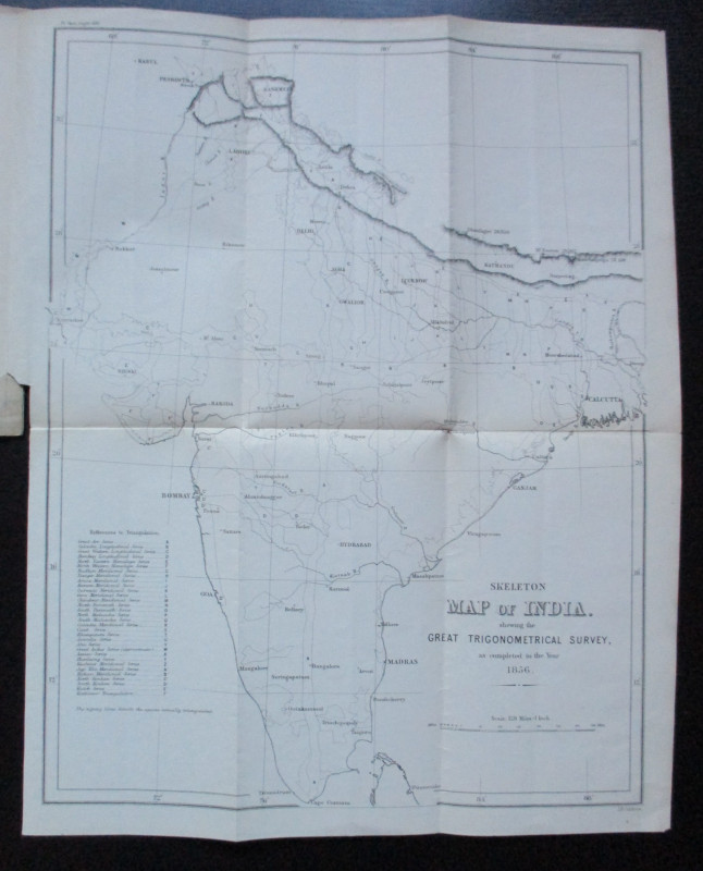
Geodesy; Especially Relating to the Great Trignome...
Strange
Royal United Institution
£45.00
Offered by Arthur Hook
Friends of the PBFA
For £10 get free entry to our fairs, updates from the PBFA and more.
Please email info@pbfa.org for more information