A Map of England and Wales divided into Counties, Parliamentary Divisions and Dioceses shewing the Principal Roads, Railways, Rivers and Canals


Book Description
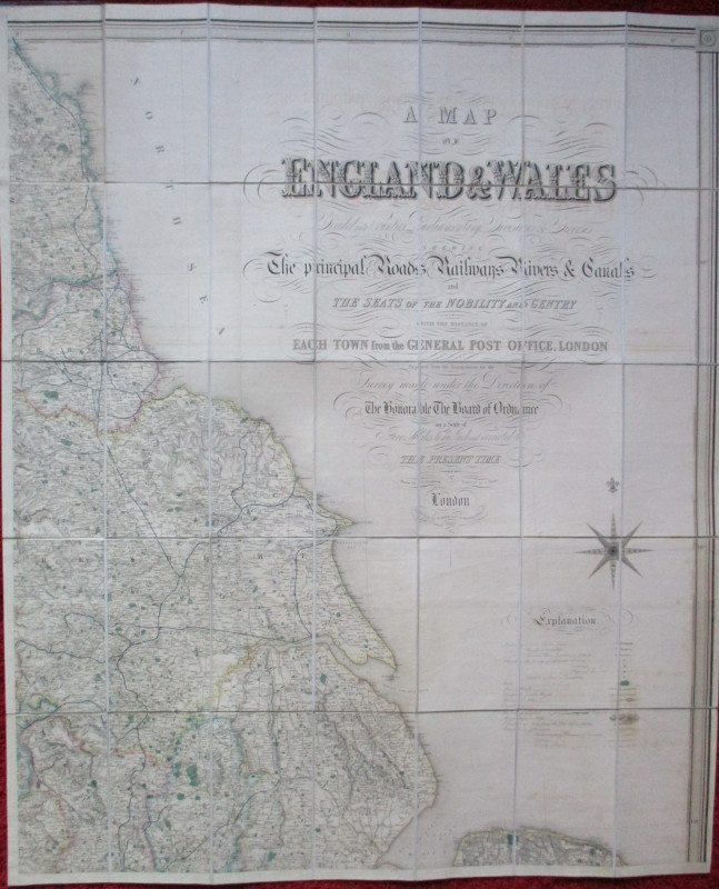
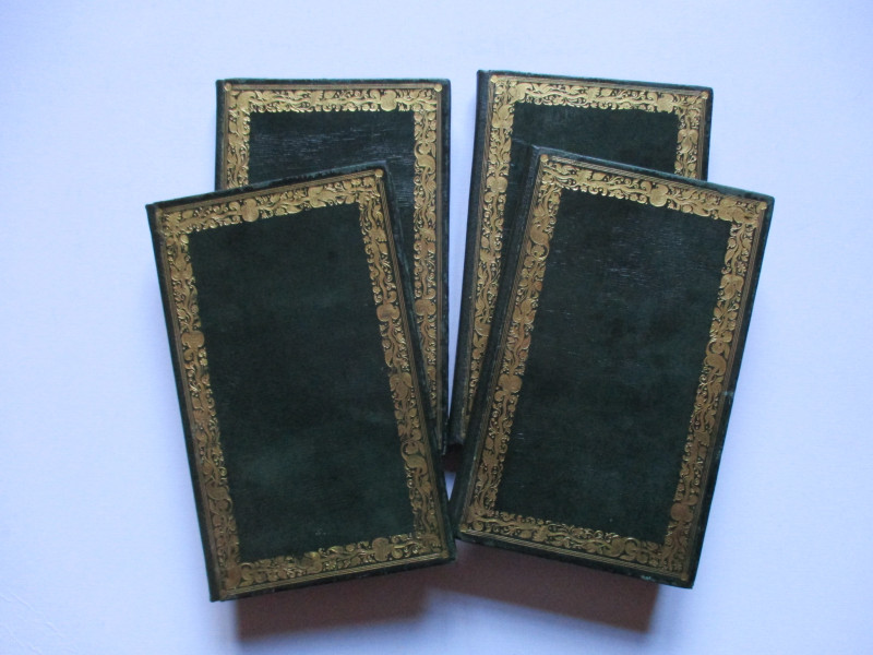
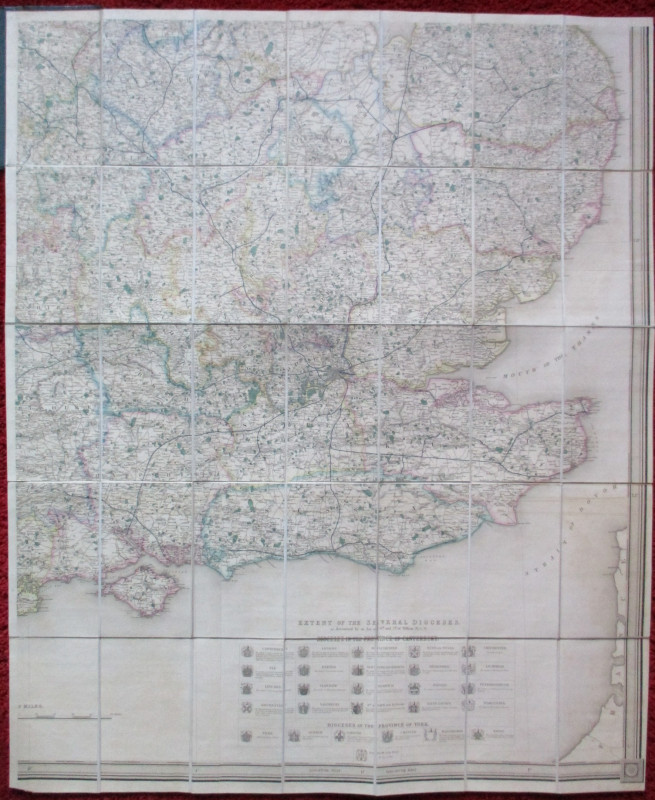
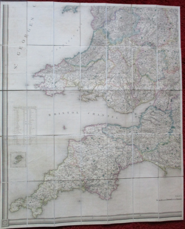
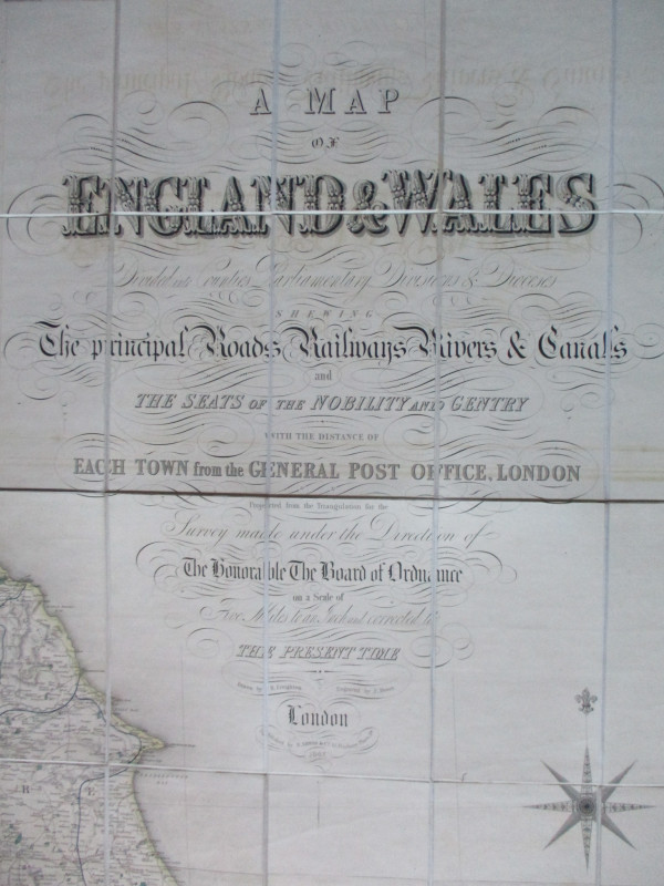
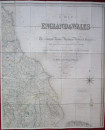
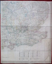
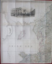
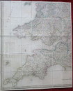
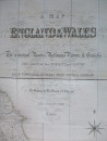
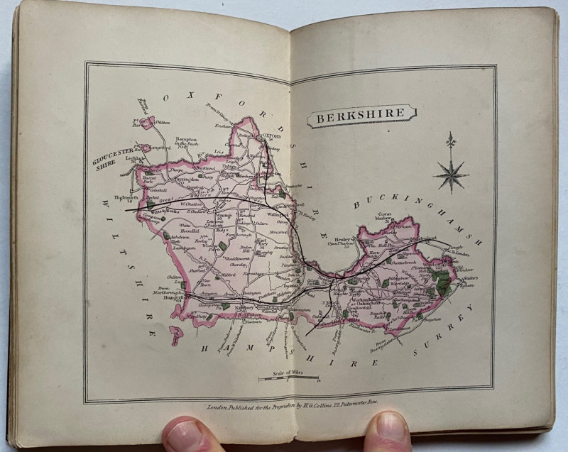
A Map of England and Wales divided into Counties, Parliamentary Divisions and Dioceses shewing the Principal Roads, Railways, Rivers and Canals, and the seats of the nobility and gentry with the distance of each town from the General Post Office London reduced from the survey made under the direction of the Honourable Board of Ordnance to a scale of five miles to the inch, drawn by Creighton, engraved by Dower and published by Lewis, London 1847. An updated edition revised to include the development and growth of the railways in the early Victorian period. Four large hand-coloured maps on folding linen, each 106 by 90 cm. and each in 35 sections. A key provides information on cities, market towns, parishes and other townships, hamlets, rivers, gentlemen's seats, churches (and these are shown in 3 different categories), parks, mail roads, turnpike roads, canals, rail roads, mountains and various administrative divisions. A panel beneath the map with a series of crests gives details of the 20 dioceses in the province of Canterbury and the 5 in the province of York. The North-West sheet has a large engraving of the London Post Office and the North-East sheet a decorative compass rose beneath the title and key. Folds into original boards with decorated borders. New leather spines. VG condition.
Author
Creighton
Date
1847
Binding
Stiff boards
Publisher
Lewis
Illustrator
Dower
Condition
VG
Pages
4
Other books
If you liked the book you've just seen, you might be interested in other books from the same dealer below.
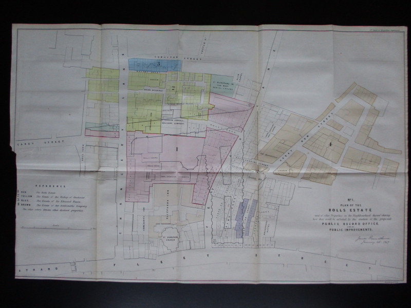
Four Plans for the development of the Central Lond...
Pennethorne
Hansard
£125.00
Offered by Arthur Hook
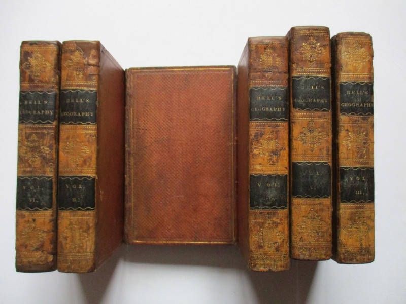
A System of Geography , Popular and Scientific or...
Bell
Fullarton, Tait, Curry, Simpkin, Marshall & Orr
£395.00
Offered by Arthur Hook
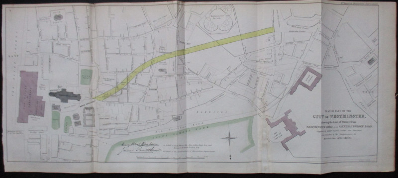
Plan of Part of the City of Westminster shewing th...
Pennethorne and Abrahams
Hansard
£95.00
Offered by Arthur Hook
Friends of the PBFA
For £10 get free entry to our fairs, updates from the PBFA and more.
Please email info@pbfa.org for more information