Map of Jersey

Book Description
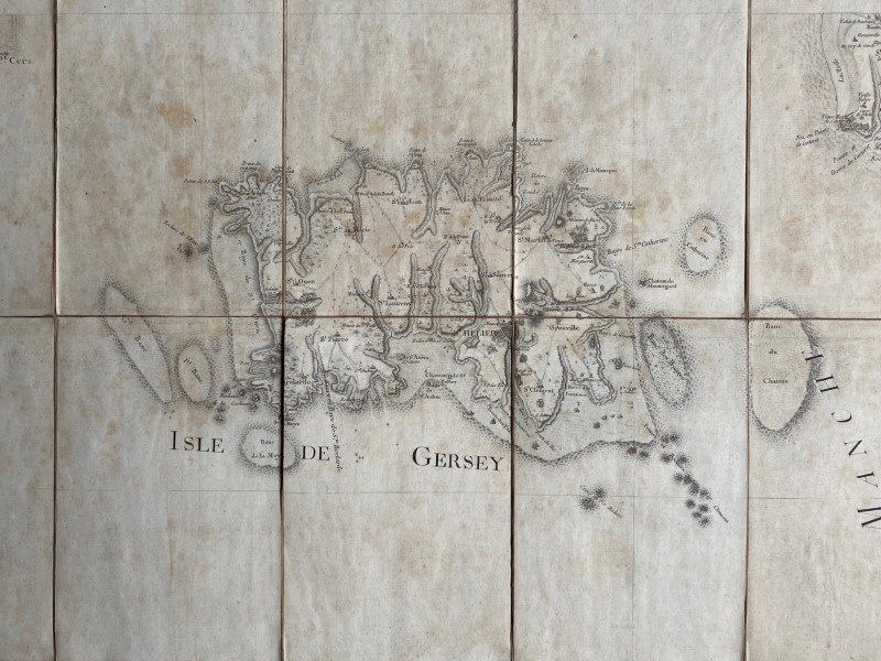
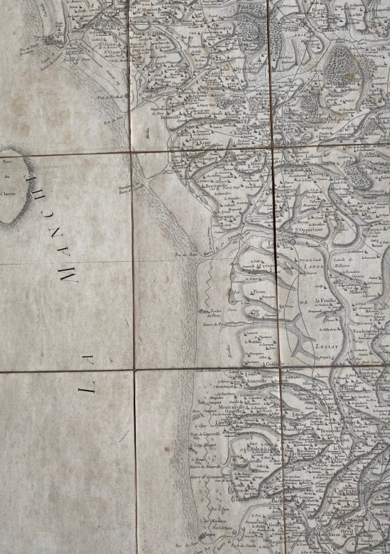
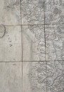
Map of Jersey with part of the coast of Normandy by Cassini. published by Picquet, Geographer to the King, Paris circa 1760. On folding linen in 21 sections, size 93 by 60 cm. Scale approximately 2,000 metres to the inch. Heights shown by shading or hachuring. Jersey is termed Isle de Gersey. Towns, villages and smaller settlements including manor houses all appear on the map. St.Helier castle is also shown, along with other defences, churches, sandbanks and rocks. The map includes the coast of Normandy from Barneville south to Coutances. Uncoloured. Some age toning and foxing and with folds strengthened to reverse with clear archival quality tape..
Author
Cassini
Date
1760
Publisher
Picquet
Illustrator
Cassini
Condition
Good
Other books
If you liked the book you've just seen, you might be interested in other books from the same dealer below.
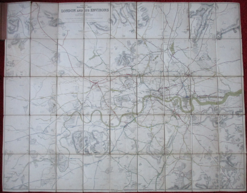
Official Railway Clearing House Map of London and...
Emslie
Railway Clearing House
£220.00
Offered by Arthur Hook
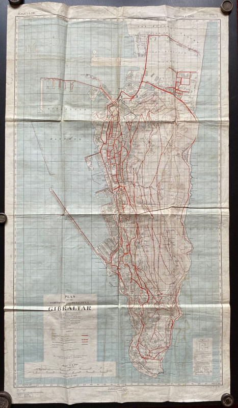
Plan of the Fortress and Peninsula of Gibraltar
British War Office & Air Ministry
British War Office & Air Ministry
£135.00
Offered by Arthur Hook
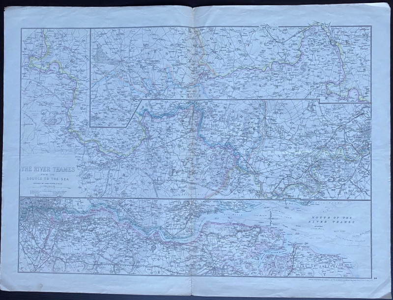
Map of the River Thames from the Source to the Sea...
Dower
Cassell Petter & Galpin
£30.00
Offered by Arthur Hook
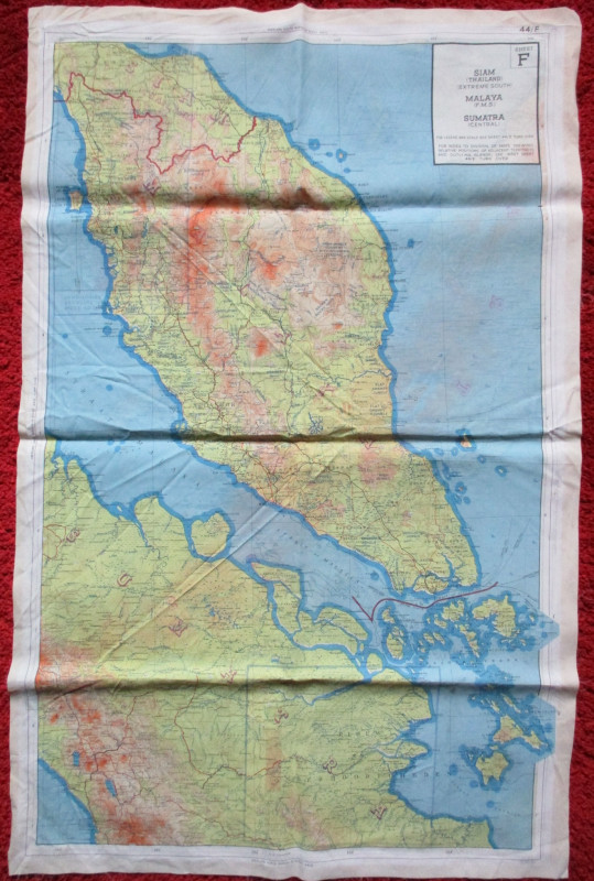
British Military Escape Map 1944. South-east Asia...
British Military/RAF
British Military
£125.00
Offered by Arthur Hook

Boston School Kitchen Text-Book. Lessons in Cookin...
Lincoln
Roberts Brothers
£60.00
Offered by Arthur Hook

Friends of the PBFA
For £10 get free entry to our fairs, updates from the PBFA and more.
Please email info@pbfa.org for more information