GWR London Plan Chelsea to Westminster rail link 1845
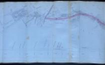
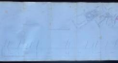
Book Description
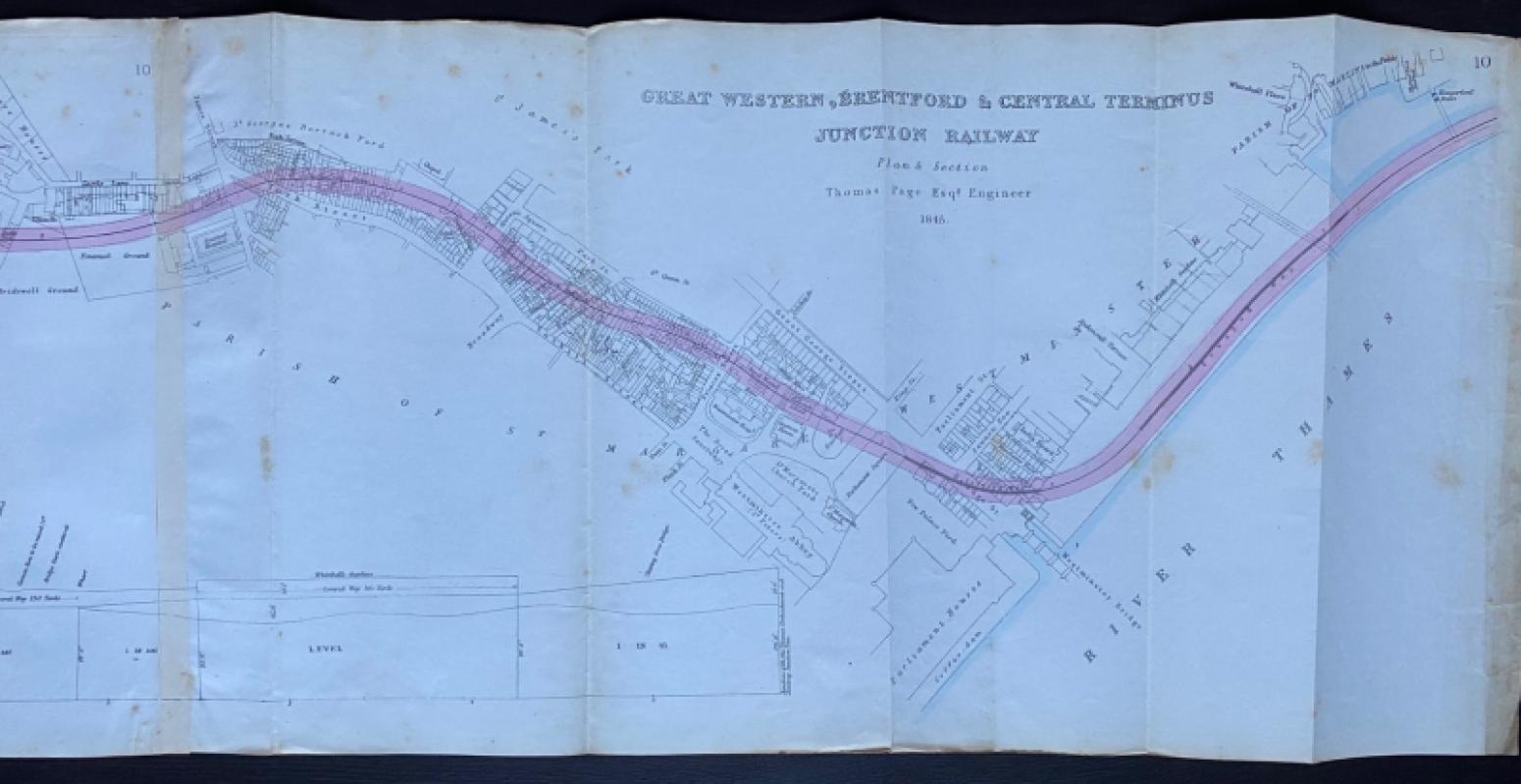
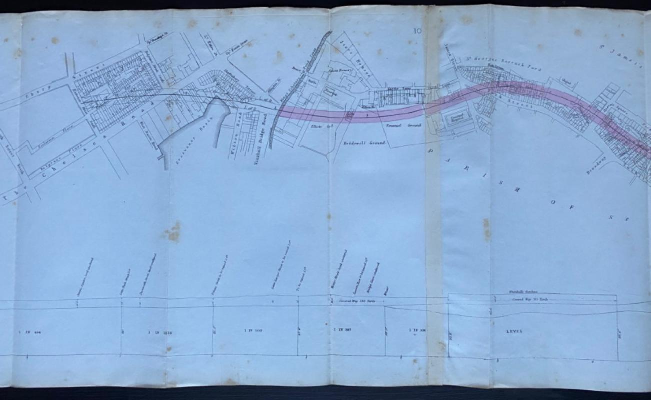
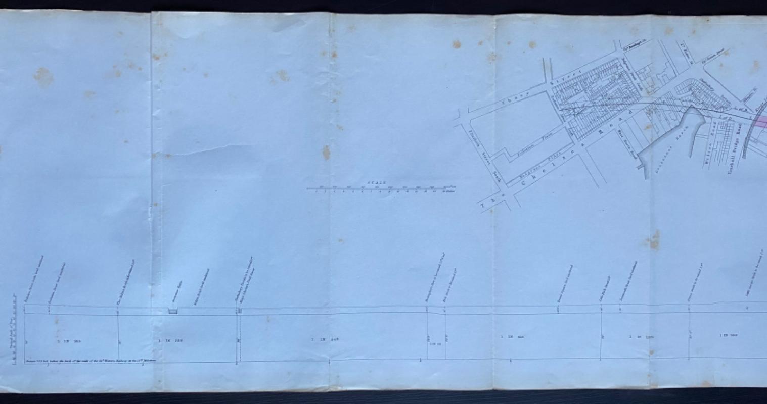
Great Western, Brentford and Central Terminus Junction Railway. Plan and sections drawn by Thomas Page, Engineer. Published by Hansard, London 1845. On paper size 150 by 34 cm. Scale 200 feet to the mile. Covers an area from Ebury Street and the Chelsea Road in the west to Hungerford Stairs by the Thames in the east. Page’s plan was to bring the London-Birmingham and Great Western Railways together and to create a large station in the mews behind Westminster Hospital. All this was part of a bigger scheme to link various railway lines coming into the capital and develop a central London railway terminus. The map seems to be on a larger scale than contemporary Ordnance Survey maps of London, at least until the 1850s. The streets and developments close to the line are all shown in considerable detail. The line was to cross Vauxhall Bridge Road, run between Broadway and St. James’s Park, continue north of Westminster Abbey and then follow the Thames from Westminster Bridge. Has been folded. Some occasional foxing or age toning. Good condition.
Author
Page
Date
1845
Publisher
Hansard
Illustrator
Page
Condition
Good
Other books
If you liked the book you've just seen, you might be interested in other books from the same dealer below.
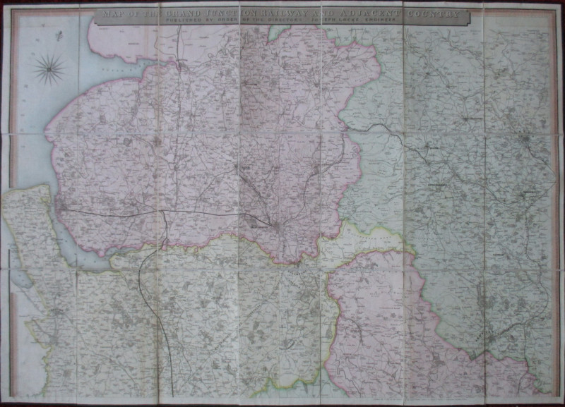
Map of the Grand Junction Railway and Adjacent Cou...
Cheffins
Cheffins
£350.00
Offered by Arthur Hook
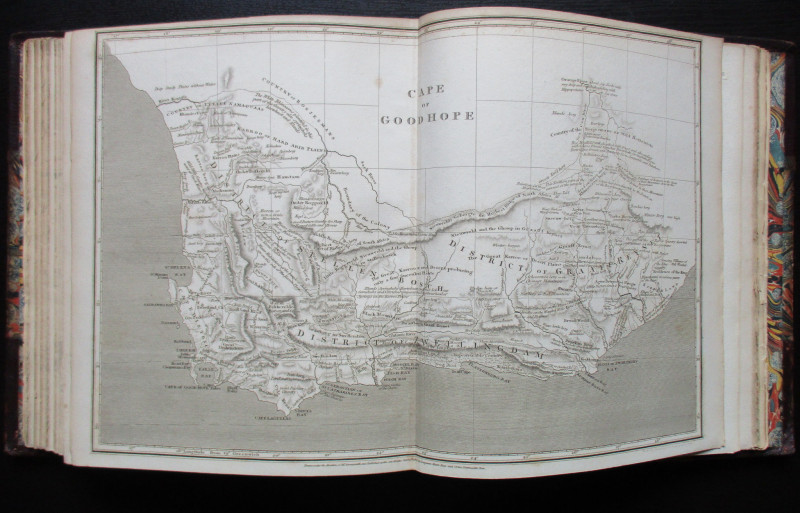
The Atlas Volume from The Cyclopaedia or Universal...
Rees
Longman, Hurst, Rees, Orme and Brown
£345.00
Offered by Arthur Hook
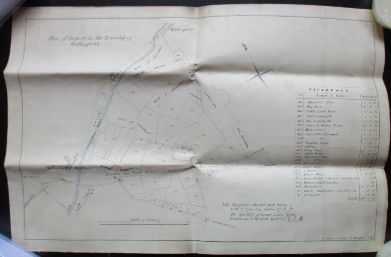
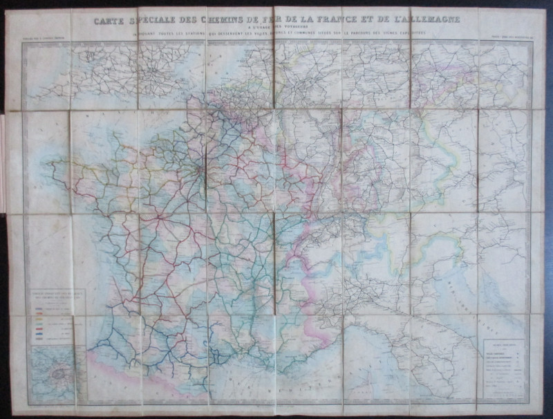
Carte Generale des Chemins de la France et de l’Al...
Vuillemin
Logerot
£70.00
Offered by Arthur Hook
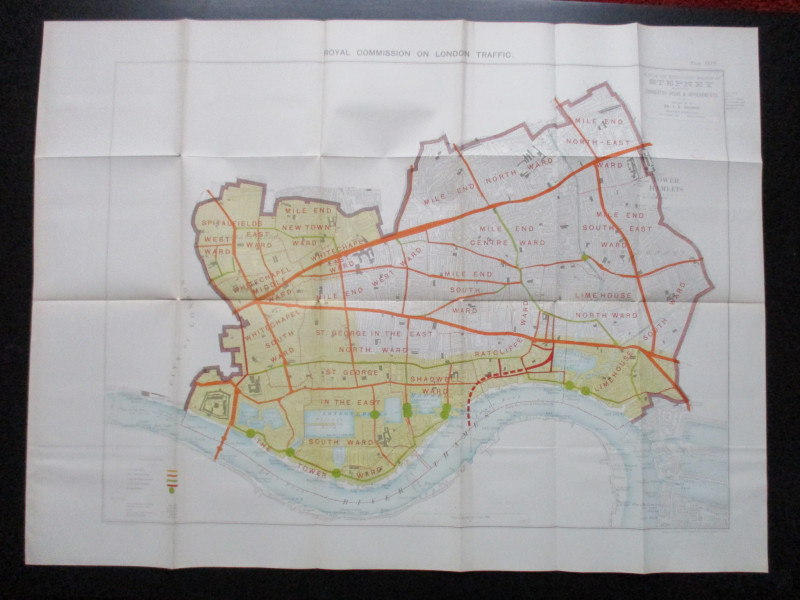
Plan of the London Metropolitan Borough of Stepney...
Ordnance Survey
Hansard
£45.00
Offered by Arthur Hook
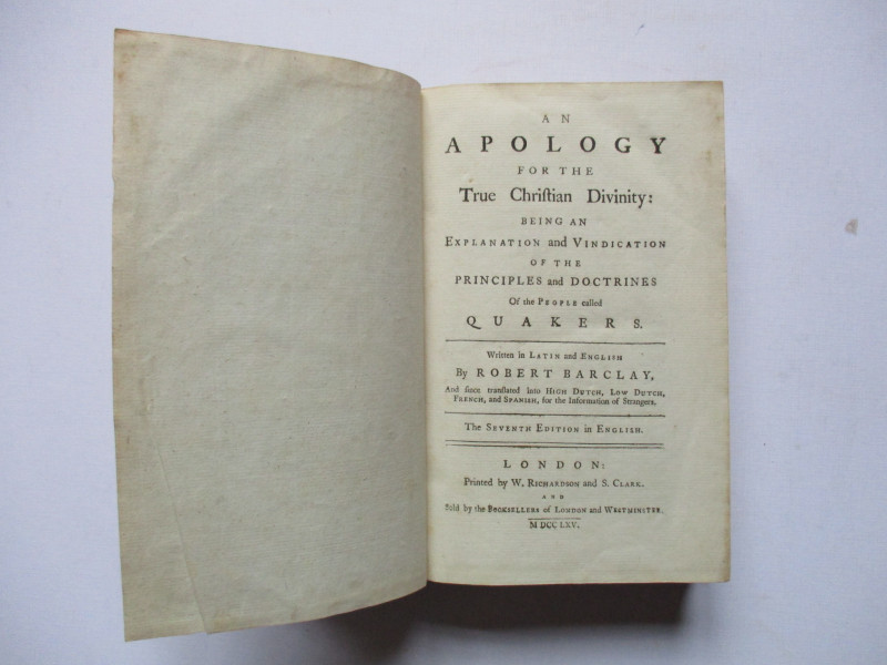
An Apology for the True Christian Divinity: being...
Barclay
Richardson and Clark
£100.00
Offered by Arthur Hook
Friends of the PBFA
For £10 get free entry to our fairs, updates from the PBFA and more.
Please email info@pbfa.org for more information