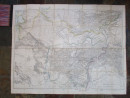
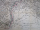
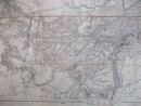
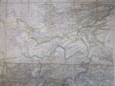
Wyld's Military Staff Map of Central Asia & Afghanistan
Book Description
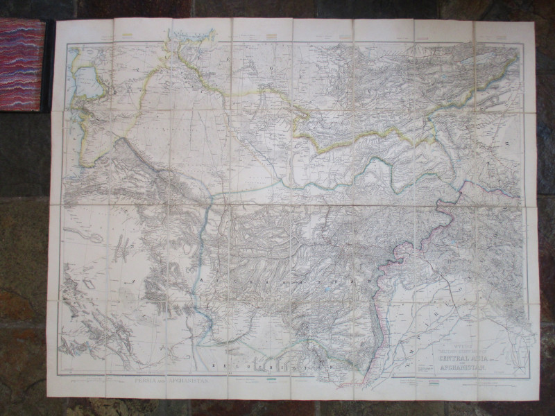
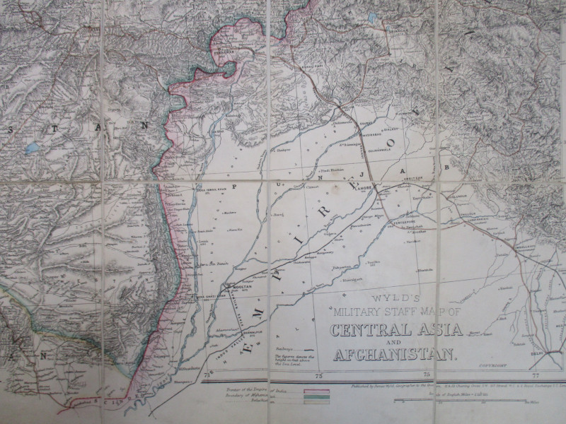
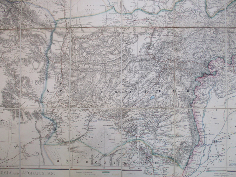
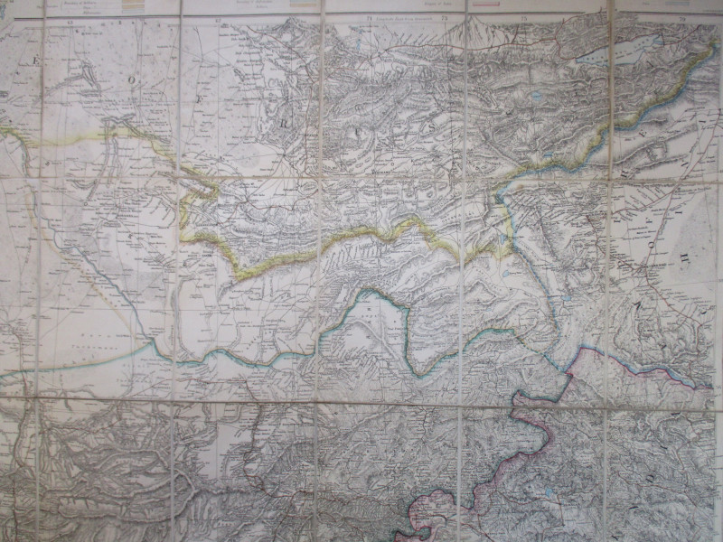
Wyld's Military Staff Map of Central Asia & Afghanistan, published by Wyld, London circa 1880. On folding linen in 32 sections, size 120 by 94 cm. Scale 35 miles to the inch. Some hand-colouring, and with a color-coded key to the frontier of the Empire of India, the boundaries of Afghanistan, Baluchistan, Persia and the Khanates of Bokhara, Kiva and Afghanistan, and also to the Empires of China and Russia. The map covers an area from the Caspian Sea across to the Issk Kul Lake in the north and from Mount Niriz or Neyriz in Iran to Delhi in the south. Heights are shown by hachuring. Folds into original cloth covered boards with the Wyld label to the front. New cloth spine. VG condition.
Author
Wyld
Date
1880
Binding
Folds into original stiff boards
Publisher
Wyld
Illustrator
Wyld
Condition
VG
Other books
If you liked the book you've just seen, you might be interested in other books from the same dealer below.
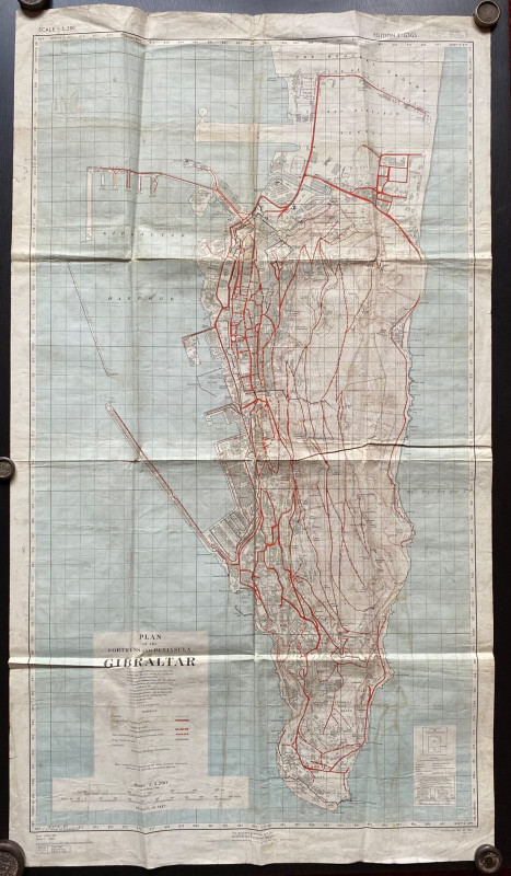
Plan of the Fortress and Peninsula of Gibraltar
British War Office & Air Ministry
British War Office & Air Ministry
£135.00
Offered by Arthur Hook

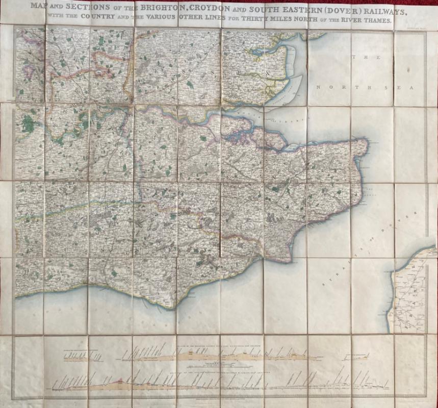
Map and Sections of the Brighton, Croydon and Sout...
Jobbins
Jobbins
£275.00
Offered by Arthur Hook
Friends of the PBFA
For £10 get free entry to our fairs, updates from the PBFA and more.
Please email info@pbfa.org for more information