Wyld's Map of the Environs of London 1851

Book Description
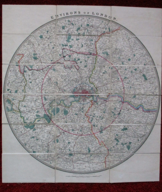
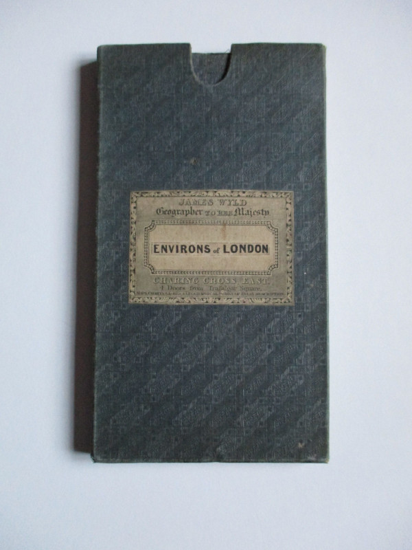
Wyld's Map of the Environs of London published by James Wyld, London 1851. On folding linen in 18 sections, size 66 by 60 cm. Scale two miles to the inch. Folds into original slipcase with Wyld's label to the front. A circular map centred on Charing Cross covering an area east-west from Windsor to Gravesend and from Hertford and Ware in the north to Reigate in the south. Hand-coloured. Heights are shown by hachuring or shading. Includes all the railways and stations. A detailed map in VG condition.
Author
Wyld
Date
1851
Binding
Stiff boards & slipcase
Publisher
1851
Condition
VG
Other books
If you liked the book you've just seen, you might be interested in other books from the same dealer below.
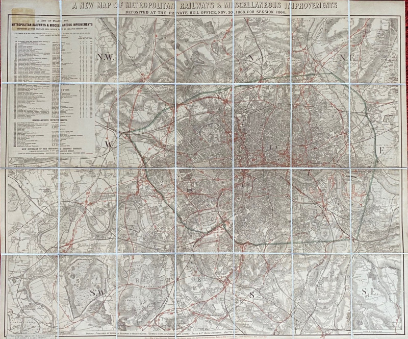
A New Map of Metropolitan Railways and Miscellaneo...
Stanford
Stanford
£300.00
Offered by Arthur Hook
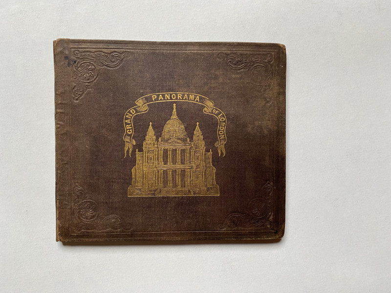
Grand Panorama of London from the Thames 1849
John and Charles Evans
John and Charles Evans
£500.00
Offered by Arthur Hook
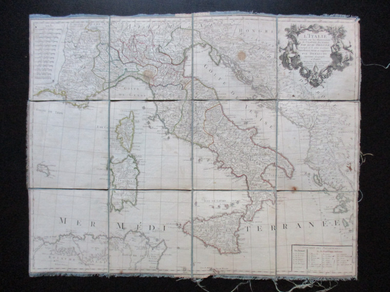
Map of Italy. L'Italie Dresse sur les Observations...
Delisle
Dezauche
£105.00
Offered by Arthur Hook
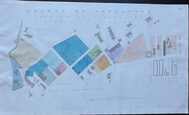
Enlarged plan of Central Manchester with the Penit...
Rennie
Arrowsmith
£70.00
Offered by Arthur Hook

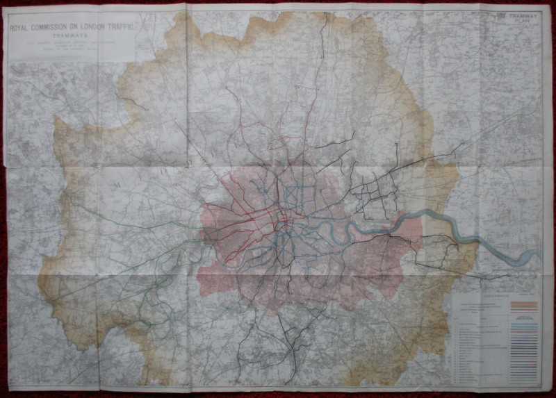
London Tramway Plan. A Plan showing Tramways exist...
Ordnance Survey
Ordnance Survey
£65.00
Offered by Arthur Hook
Friends of the PBFA
For £10 get free entry to our fairs, updates from the PBFA and more.
Please email info@pbfa.org for more information