US Army Map of Southern India 1942
Book Description
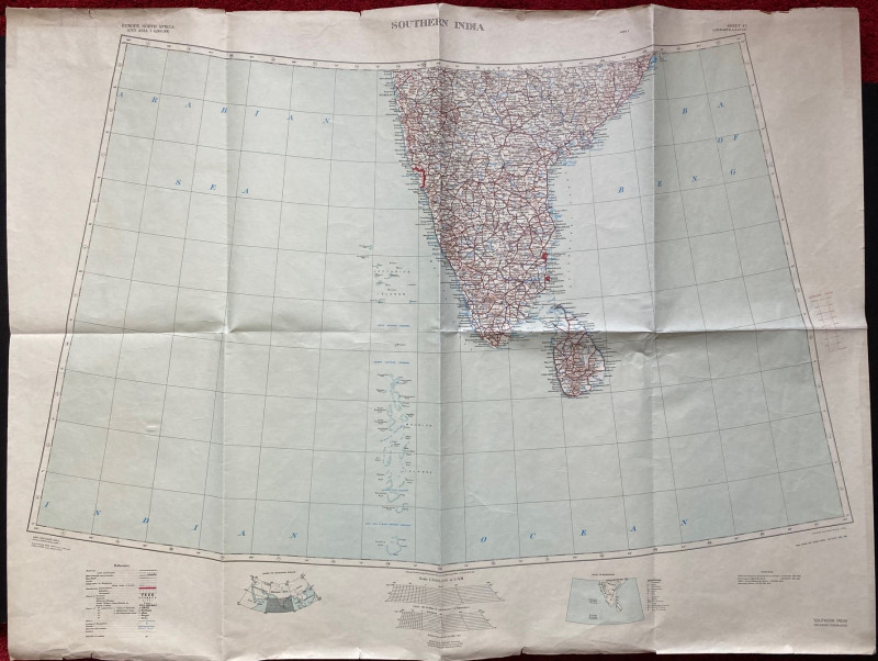
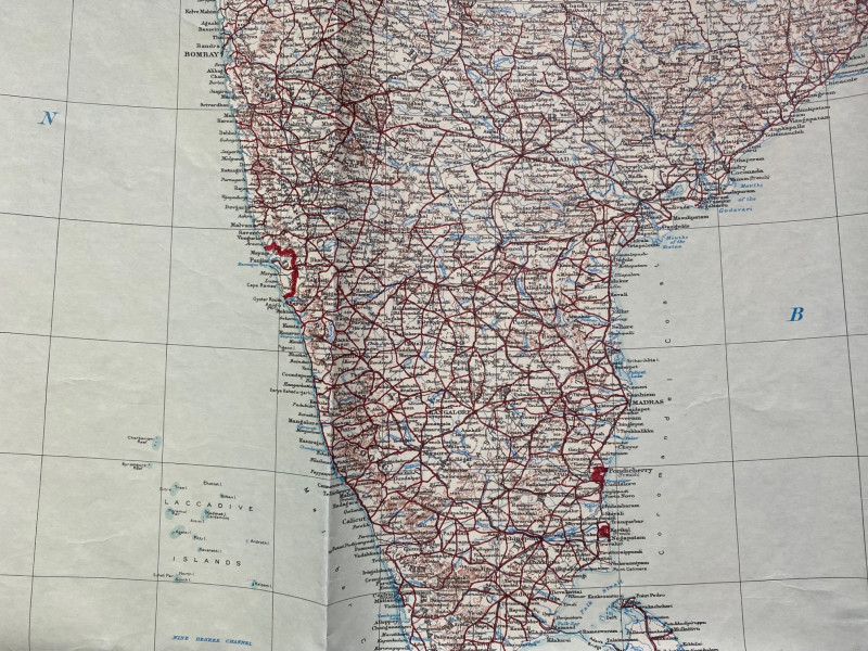
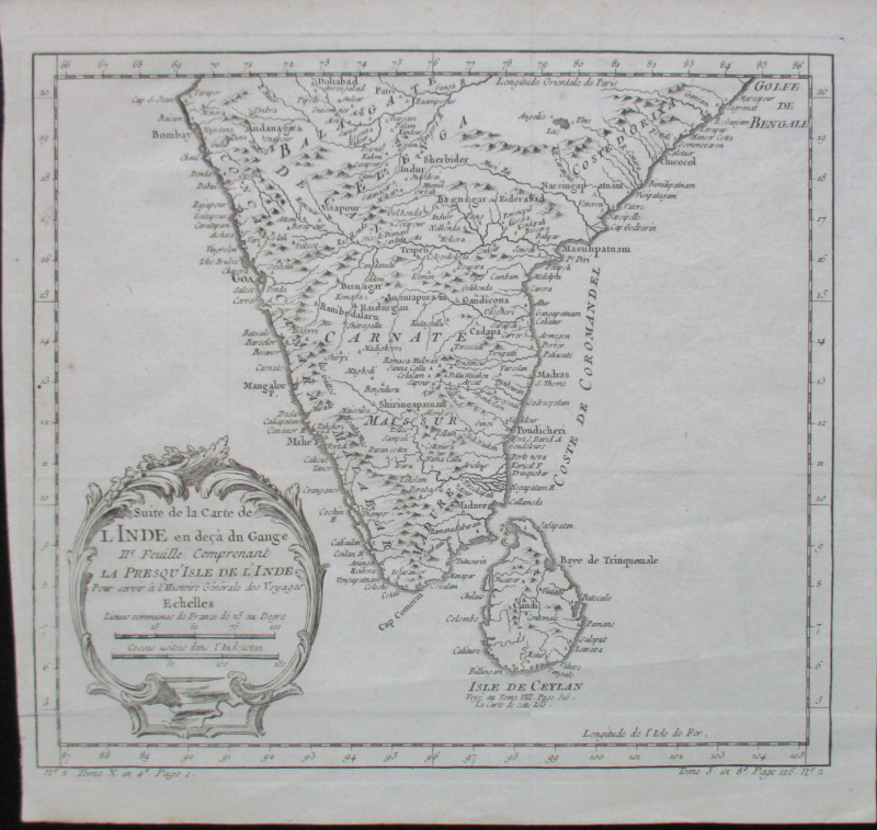
Map of Southern India 1936. Published by the US Army Corps of Engineers in 1942, based on a British GSGS map of 1936. Size 112 by 82 cm. Scale 1:4,000,000. Colour. Includes Ceylon, the Maldives and the Laccadive Islands. Key as above. Occasional nicks outside the margins but overall Good to VG condition.
Author
US Army Map Service
Date
1942
Publisher
Army Map Service, US Army Corps of Engineers
Condition
Good to VG
Other books
If you liked the book you've just seen, you might be interested in other books from the same dealer below.
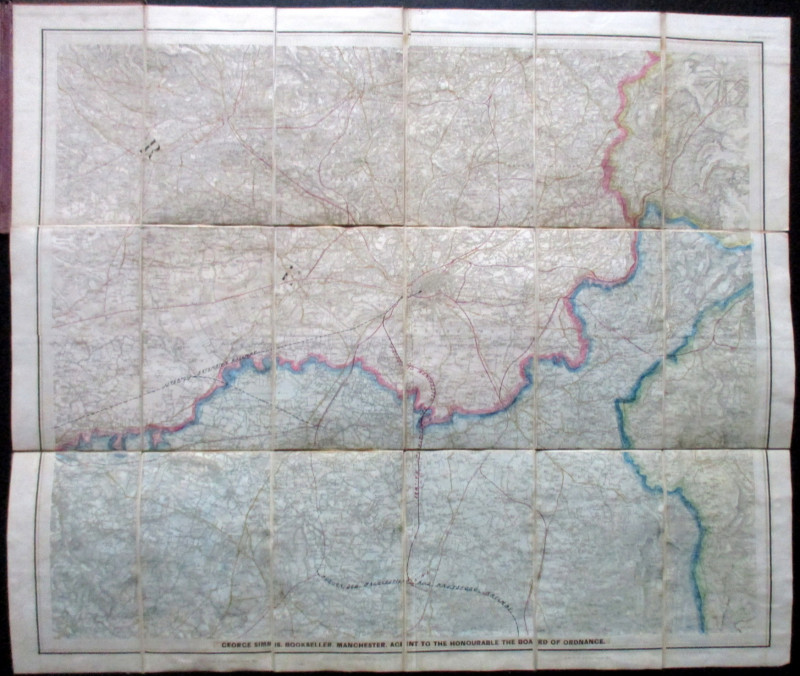
Ordnance Survey Map of Manchester & Neighbourhood...
Simms
Ordnance Survey
£65.00
Offered by Arthur Hook
Friends of the PBFA
For £10 get free entry to our fairs, updates from the PBFA and more.
Please email info@pbfa.org for more information