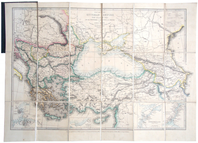
The Ottoman Empire The Black Sea and the Frontiers of Russia and Persia.
Book Description
Dealer Notes
Other books
If you liked the book you've just seen, you might be interested in other books from the same dealer below.

The Common Kestrel.
Sale, Richard.
[Coberley:] Snowfinch Publishing,
£50.00
Offered by Meridian Rare Books
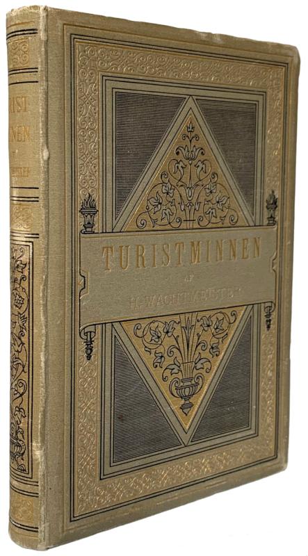
Turistminnen. Dagboksanteckningar under Resor i Eg...
[Nathorst, Alfred. G.] Hans Wachtmeister.
Stockholm: P. A. Norstedt & Söners Forlag
£250.00
Offered by Meridian Rare Books
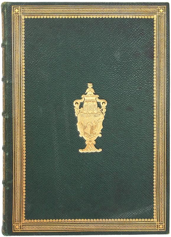
The Seasons . . . And With the Life of the Author...
[Binding.] James Thomson.
London: Longman, Brown, Green, and Longmans
£100.00
Offered by Meridian Rare Books
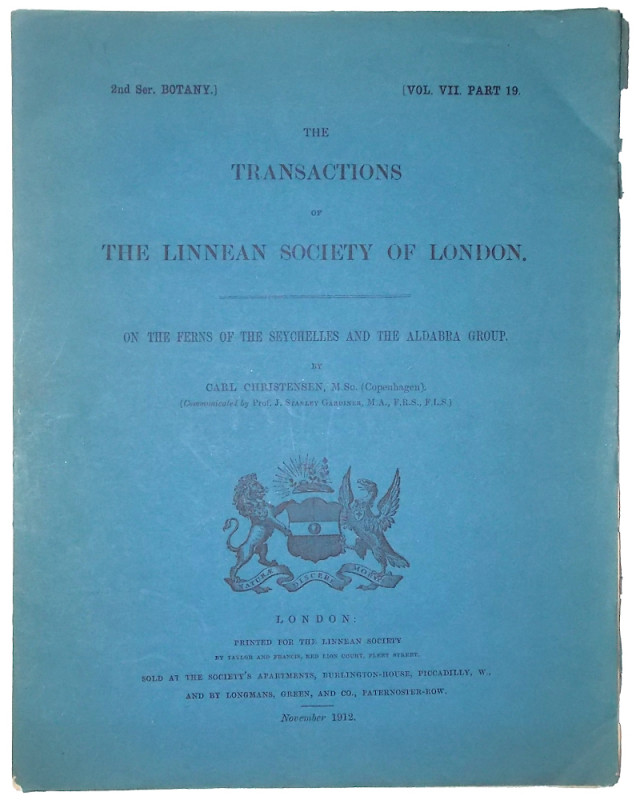
‘On the Ferns of the Seychelles and the Aldabra Gr...
Christensen, Carl.
£45.00
Offered by Meridian Rare Books
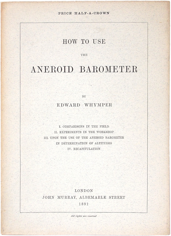
How to use the Aneroid Barometer.
Whymper, Edward.
London: John Murray
£250.00
Offered by Meridian Rare Books
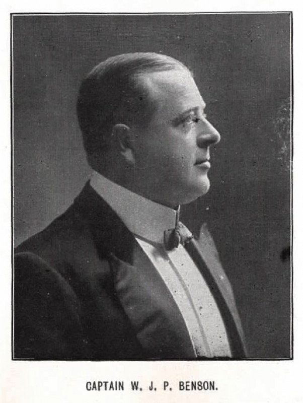
To the Southern Pacific across the Andes.
Benson, Capt. W. J. P.
N.p. ?London, n.d. c. 1911.
£75.00
Offered by Meridian Rare Books
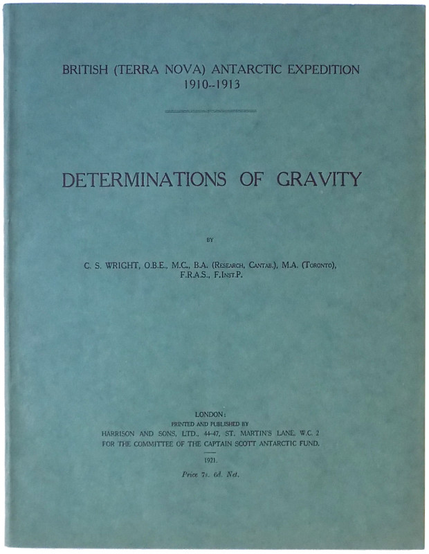
Determinations of Gravity.
British (Terra Nova) Antarctic Expedition 1910-1913. C. S. Wright.
London: Harrison and Sons
£40.00
Offered by Meridian Rare Books
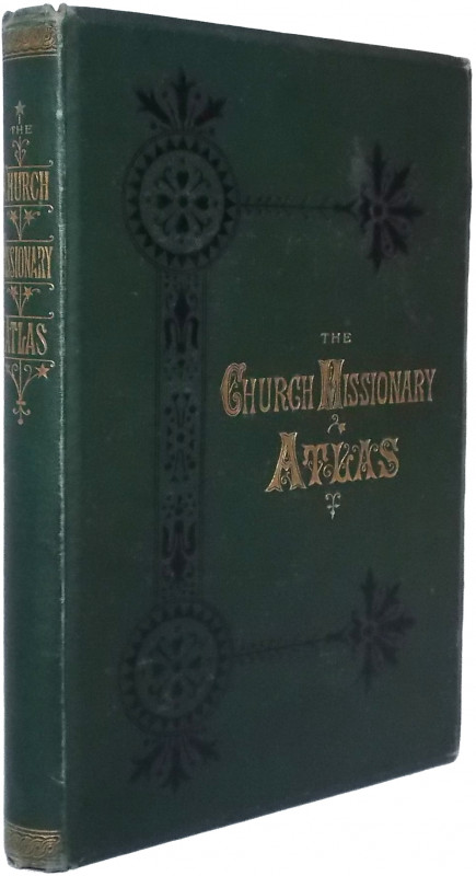
The Church Missionary Atlas. Containing an Account...
Church Missionary Society.
London: Church Missionary House
£175.00
Offered by Meridian Rare Books
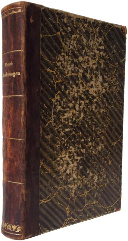
Populäre Vorlesungen über wissenschaftliche Gegens...
Bessel, F. W.
Hamburg: Perthes- Besser & Mauke
£350.00
Offered by Meridian Rare Books
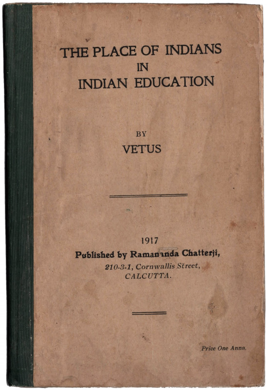
The Place of Indians in Indian Education by Vetus.
[India.] Vetus [pseud.].
Calcutta: Ramandra Chatterji
£50.00
Offered by Meridian Rare Books
Friends of the PBFA
Please email info@pbfa.org for more information