The New London Guide or a Pocket Plan of the Cities of London and Westminster & Borough of Southwark 1776

Book Description
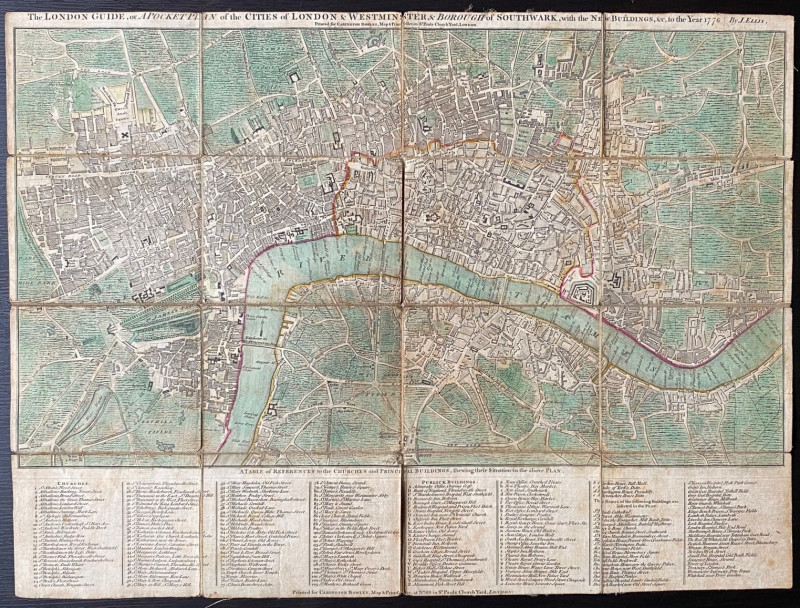
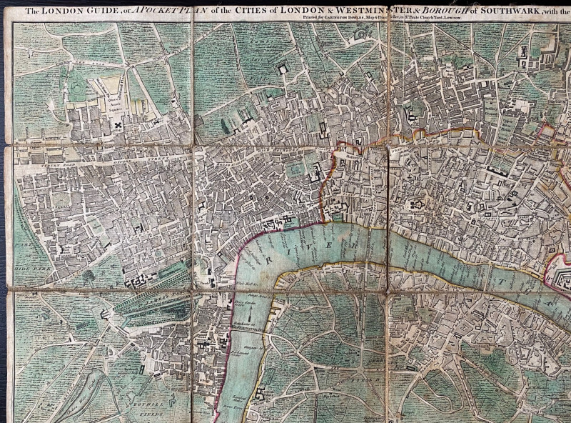
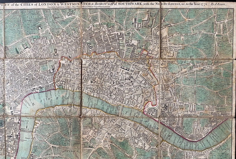
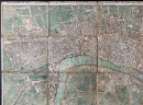
The New London Guide or a Pocket Plan of the Cities of London and Westminster & Borough of Southwark, with the New Buildings etc. to the year 1776, engraved by Ellis and published by Carington Bowles, London 1776. On folding linen in 16 sections, size 52 by 39 cm. or 15 by 20 and a half inches. Scale 4 inches to the mile. Some hand colouring. Includes a table of reference or key to 103 churches, 56 public buildings (banks, prisons, Inns of Court, hospitals, markets, theatres, inns etc.) that shows their location in the map and another 40 that are identified by name on it. Some signs of age toning and handling but no tears or loss. Good condition.
Author
Ellis
Date
1776
Binding
Folding map
Publisher
Carington Bowles
Illustrator
Ellis
Condition
Good
Other books
If you liked the book you've just seen, you might be interested in other books from the same dealer below.
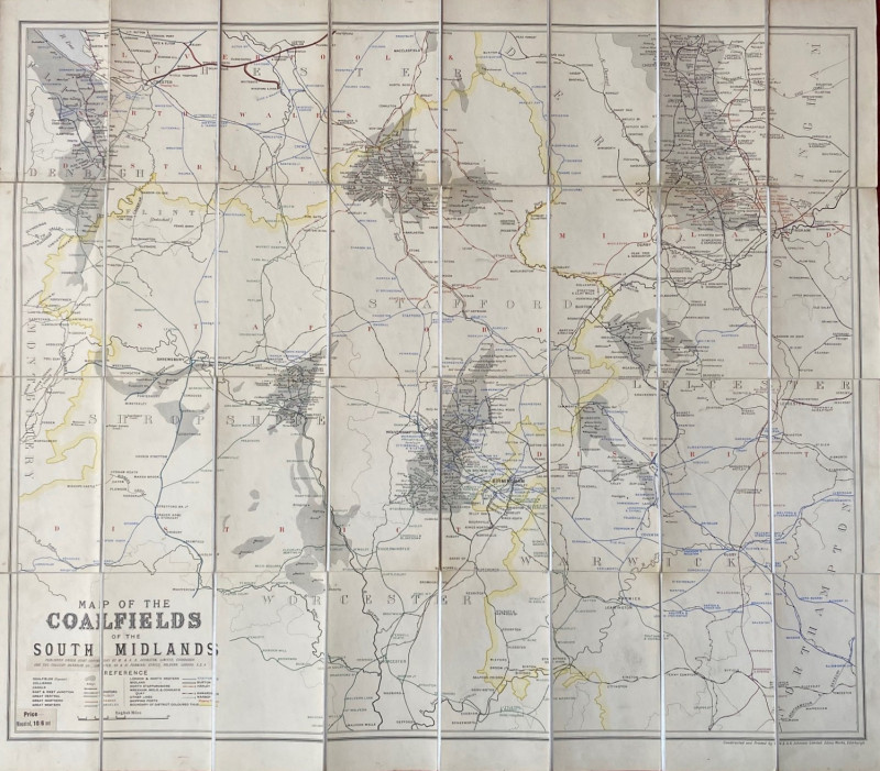
Map of the Coalfields of the South Midlands circa...
Johnston
Johnston
£100.00
Offered by Arthur Hook
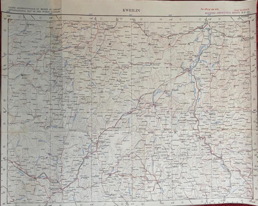
Map of Kweilin or Guilin China 1942
United States Air Force
United States Air Force
£55.00
Offered by Arthur Hook
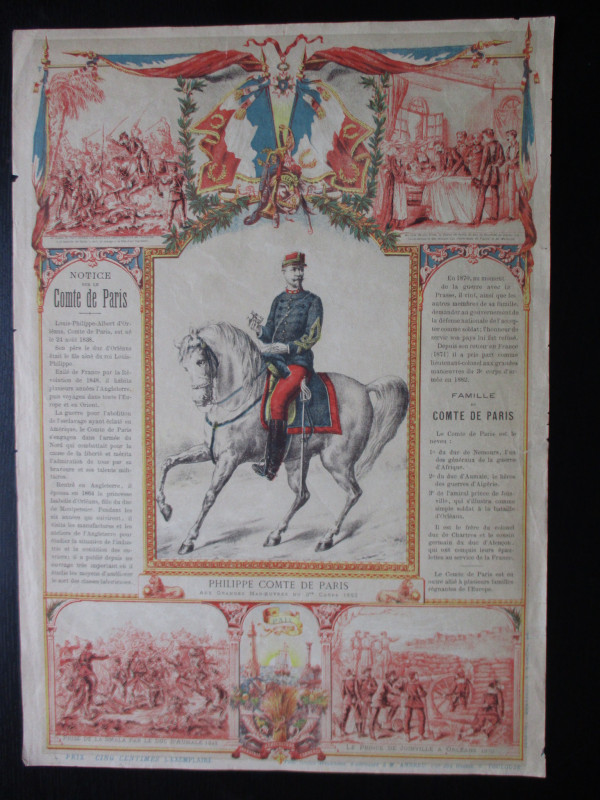
French Royalist Publicity Poster Philippe Comte de...
Philippe Comte de Paris
Thomas and Conferon
£45.00
Offered by Arthur Hook
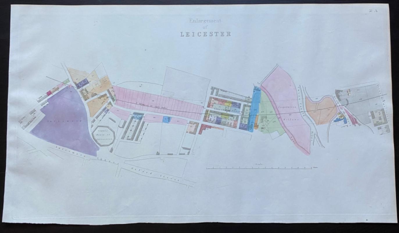
Map of Leicester, including the County House of Co...
Rennie
Arrowsmith
£75.00
Offered by Arthur Hook
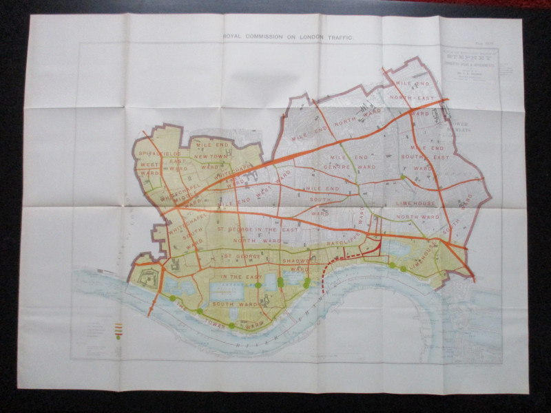
Plan of the London Metropolitan Borough of Stepney...
Ordnance Survey
Hansard
£45.00
Offered by Arthur Hook
Friends of the PBFA
For £10 get free entry to our fairs, updates from the PBFA and more.
Please email info@pbfa.org for more information