The Modern Gazetteer


Book Description
Dealer Notes
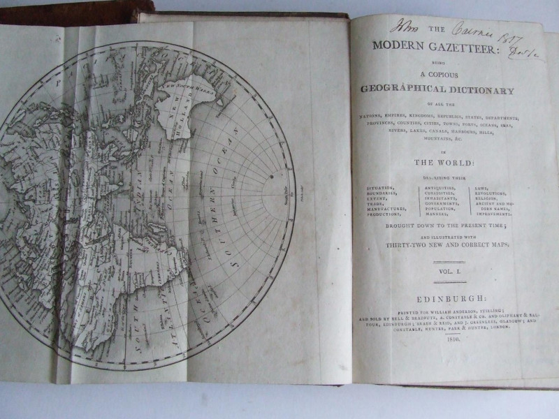
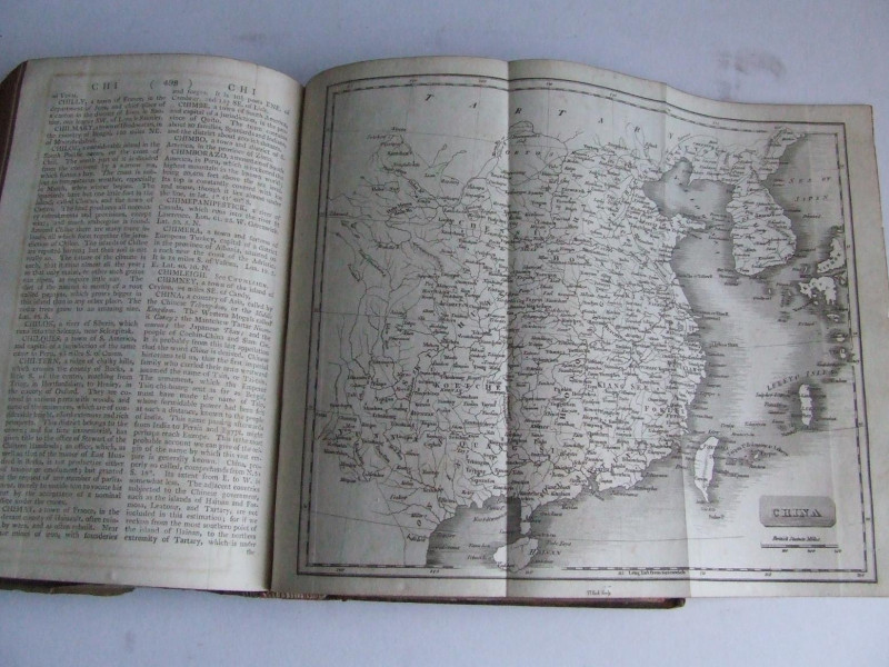
But whether there ever were 32 maps included in the gazetteer is a moot point. None of the few library holdings contain detailed descriptions of the contents, and the only copy that I have been able to compare this one to is a digitised version of the University of California's copy which contains even fewer maps.
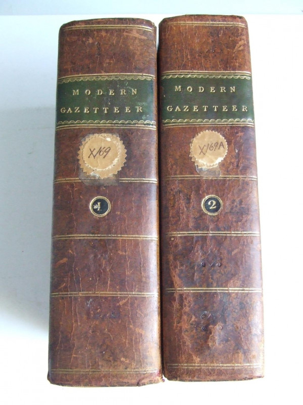
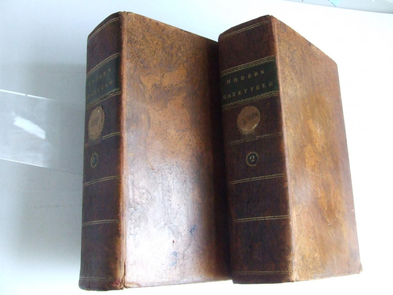
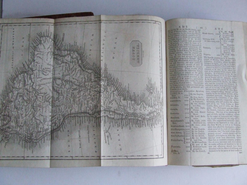
The maps are generally in good condition, with one or two a little creased. The compiler of the gazetteer got his geographical priorities right; by far the largest map is that for Scotland, which is creased at the foot and has a 10cm closed tear, repaired with archival tape.
These books are being sold on behalf of the Largs & District Museum & Historical Society, by order of the Board of Trustees
Other books
If you liked the book you've just seen, you might be interested in other books from the same dealer below.
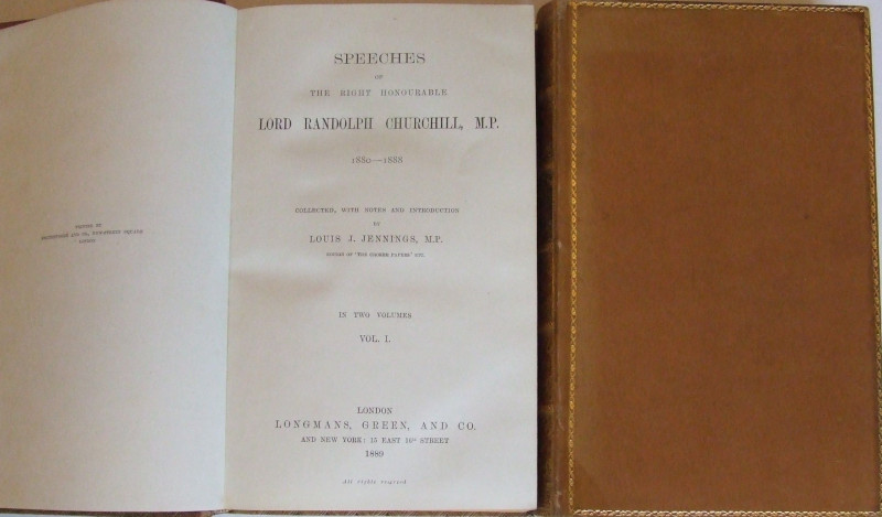
Lord Randolph Churchill Speeches - Speeches of t...
collected, with notes and introduction by Louis J. Jennings, M.P.
Longmans, Green & Co.
£275.00
Offered by McLaren Books Ltd
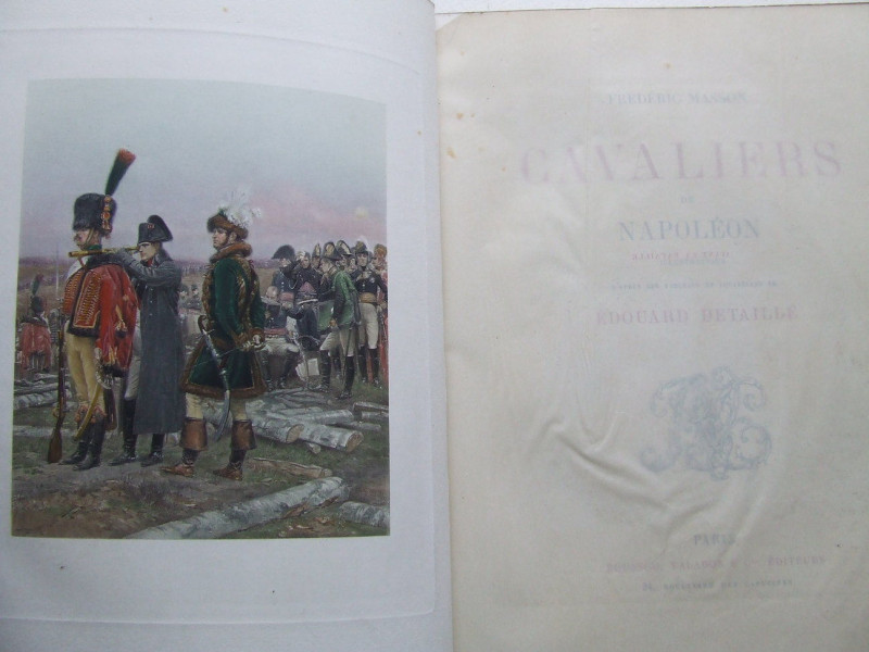
Cavaliers de Napoleon
Frederic Masson
Paris, Boussod, Valadon & Cie
£775.00
Offered by McLaren Books Ltd
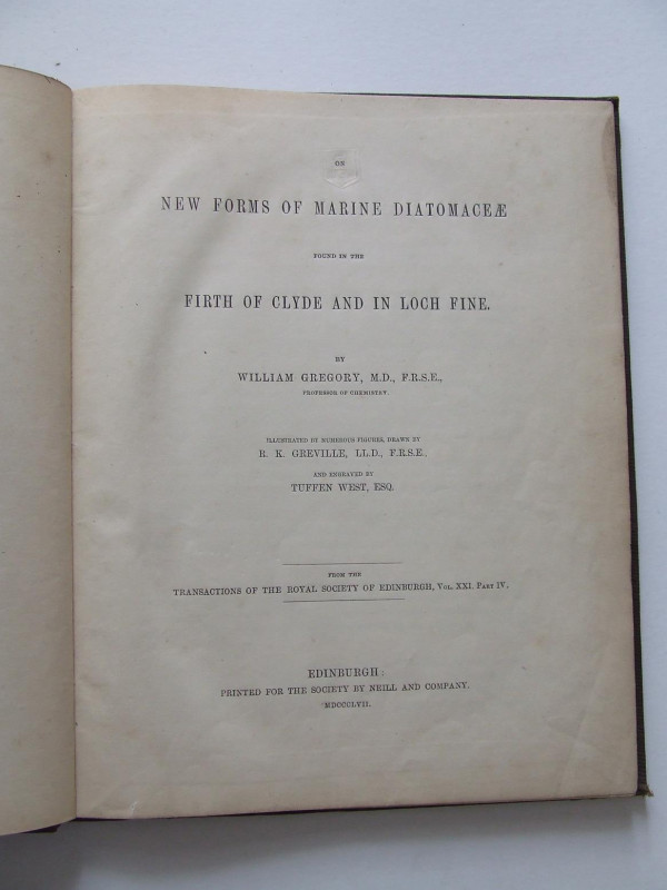
On New Forms of Marine Diatomaceae found in the Fi...
Gregory, William
Edinburgh, printed for the Society by Neill and Company
£75.00
Offered by McLaren Books Ltd
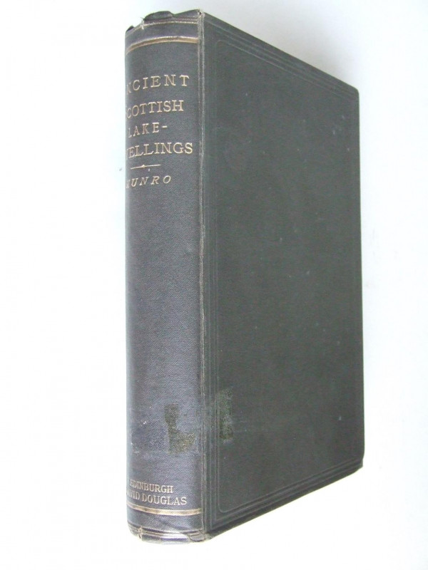
Ancient Scottish Lake-Dwellings or Crannogs
Munro, Robert
Edinburgh, David Douglas
£30.00
Offered by McLaren Books Ltd

A Day in a Shipyard [The Oxford Industrial Readers...
Cooke, Arthur O.
£75.00
Offered by McLaren Books Ltd
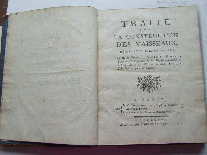
Traite sur la Construction des Vaisseaux
M. Le Comte du Maitz de Goimpy
Paris, Chez D C Couturier
£750.00
Offered by McLaren Books Ltd
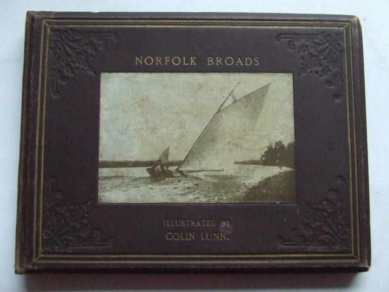
"Norfolk Broads" illustrated by Colin Lunn
Colin Lunn
Jarrold and Sons
£365.00
Offered by McLaren Books Ltd
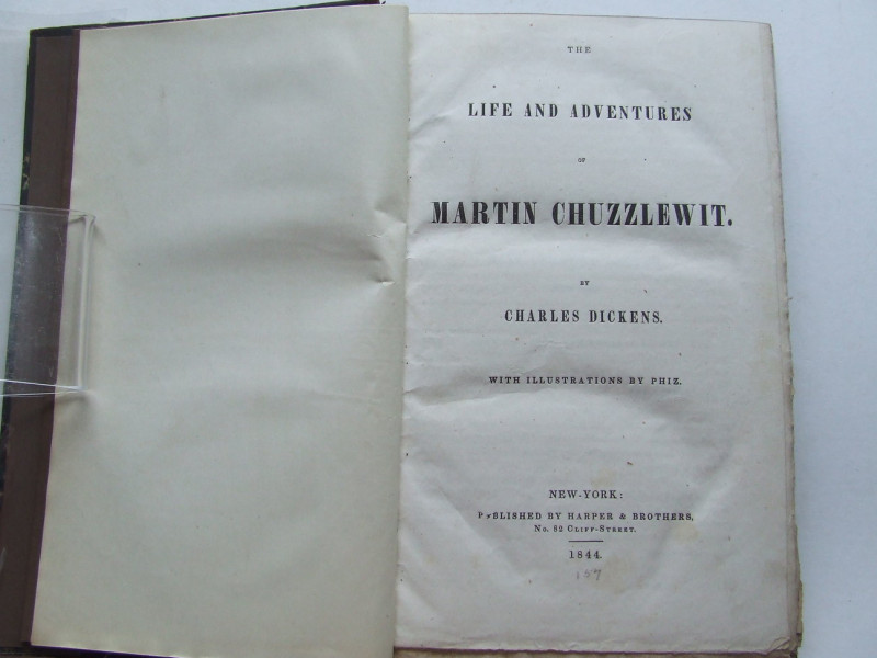
The Life and Adventures of Martin Chuzzlewit. by C...
Charles Dickens
New-York, Harper & Brothers
£950.00
Offered by McLaren Books Ltd
The Modern Gazetteer
Anon
Edinburgh, printed for William Anderson, Stirling
£350.00
Offered by McLaren Books Ltd
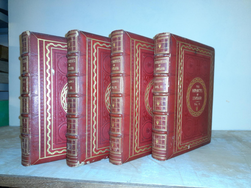
The Baronial and Ecclesiastical Antiquities of Sco...
Billings, Robert William
London, published for the author by William Blackwood
£275.00
Offered by McLaren Books Ltd
Friends of the PBFA
Please email info@pbfa.org for more information