Tasmania Land Plan 1920
Book Description
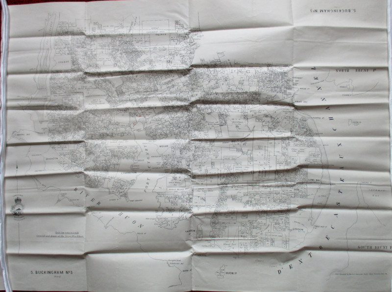
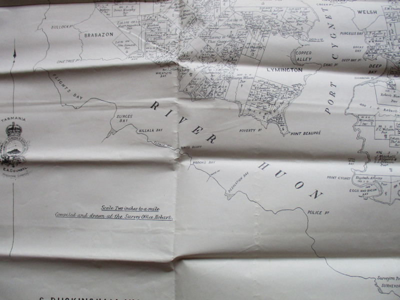
Map of Tasmania. South Buckingham Number 3: a map of land around Port Cygnet between the River Huon and D’Entrecasteaux Channel. Compiled and Drawn by the Survey Office, Hobart. Photo Alagraphed by Vail, Hobart 1920. On stiff paper size 102 by 75 cm. Scale two inches to the mile. The map shows the division of land into lots which are all named and numbered. A very detailed map. Has been folded. Good to VG condition.
Author
Anon
Date
1920
Publisher
Survey Office Hobart
Condition
Good to VG
Other books
If you liked the book you've just seen, you might be interested in other books from the same dealer below.
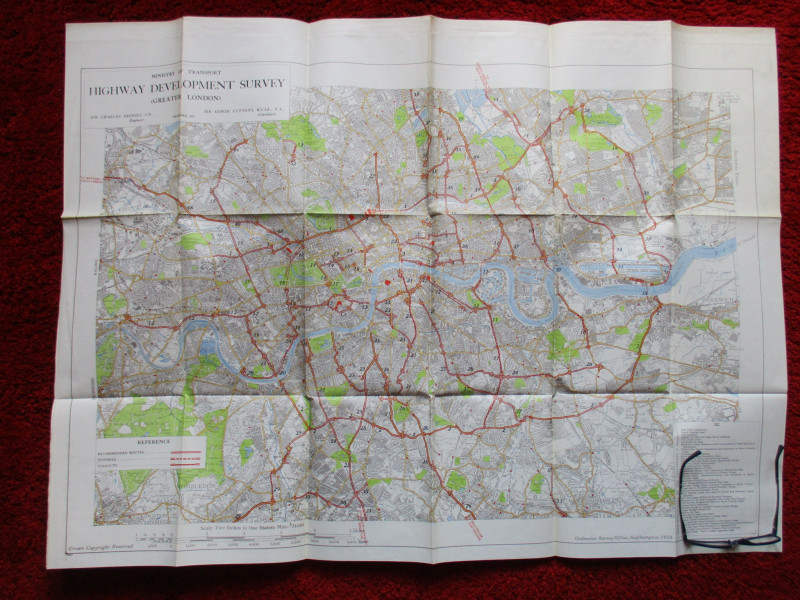
Ministry of Transport Highway Development Survey 1...
Bressey & Lutyens.
HMSO
£90.00
Offered by Arthur Hook
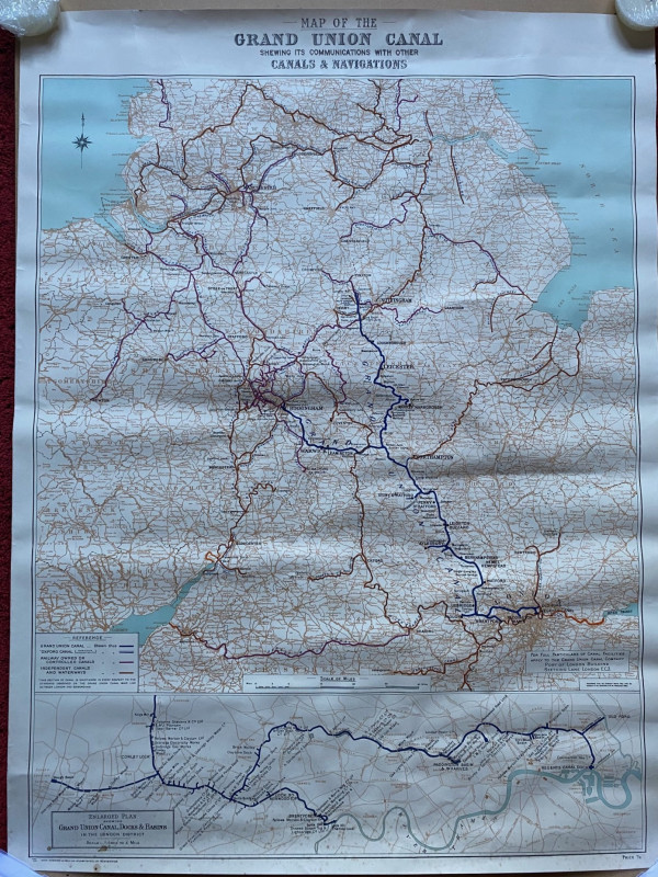
Map of the Grand Union Canal shewing its communica...
Grand Union Canal
Cook, Hammond and Kell
£70.00
Offered by Arthur Hook
Maps, plans and views from Elphinstone’s Account o...
Elphinstone
Eyre and Spottiswoode
£525.00
Offered by Arthur Hook

Friends of the PBFA
For £10 get free entry to our fairs, updates from the PBFA and more.
Please email info@pbfa.org for more information