Southern Lights. The Official Account of the British Graham Land Expedition 1934-1937 ... With two chapters by A. Stephenson and an Historical Introduction by Hugh Robert Mill.

Book Description
Dealer Notes
Other books
If you liked the book you've just seen, you might be interested in other books from the same dealer below.
En Indo-Chine. Mes chasses, mes voyages.
Montpensier, Ferdinand-François d’Orléans, duc de.
[Paris:] Pierre Lafitte & Cie.
£350.00
Offered by Meridian Rare Books
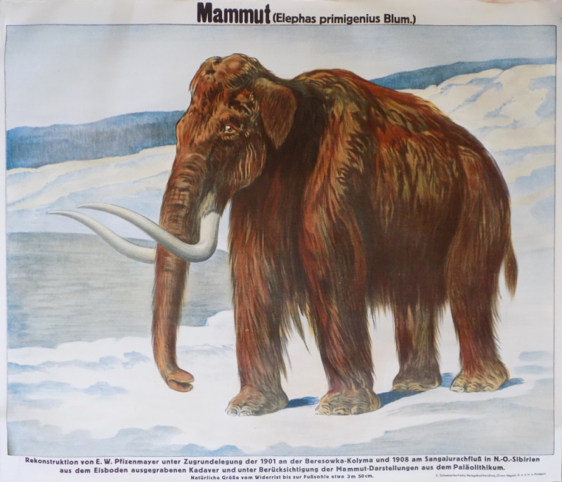
‘Mammut (Elephas primigenius Blum.)’
[Mammoth. E. W. Pfitzenmayer]
Stuttgart: E. Schweizerbart'sche Verlagbuchhandlung
£125.00
Offered by Meridian Rare Books
A Thousand Miles up the Amazon. Being Impressions...
Wadia, Ardaser Sorabjee N.
London: J. M. Dent and Sons Ltd.
£75.00
Offered by Meridian Rare Books
Antarctic Adventure. Scott’s Northern Party.
Priestley, Raymond E.
Toronto: Bell & Cockburn
£500.00
Offered by Meridian Rare Books
A Treatise on Navigation by Steam; Comprising a Hi...
Ross, Captain John.
London: Longman, Rees, Orme, Brown and Green
£1950.00
Offered by Meridian Rare Books
Our Polar Flight. The Amundsen-Ellsworth Polar Fli...
Amundsen, Roald, Lincoln Ellsworth, et al.
New York: Dodd, Mead and Company
£125.00
Offered by Meridian Rare Books
The Antique Land.
Shipton, Diana.
London: Theodore Brun Limited
£375.00
Offered by Meridian Rare Books
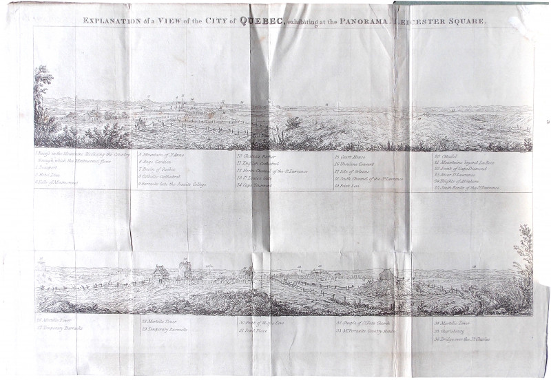
Description of a View of the City of Quebec, now e...
[Canada. Panorama.]
London: Printed by J. and C. Adlard
£225.00
Offered by Meridian Rare Books
With ’Plane, Boat and Camera in Greenland. An Acco...
Sorge, Ernst.
London: Hurst & Blackett
£175.00
Offered by Meridian Rare Books
Prospectus of the First Complete and Uniform Editi...
[Crabbe, George.]
London: John Murray
£25.00
Offered by Meridian Rare Books
Friends of the PBFA
Please email info@pbfa.org for more information