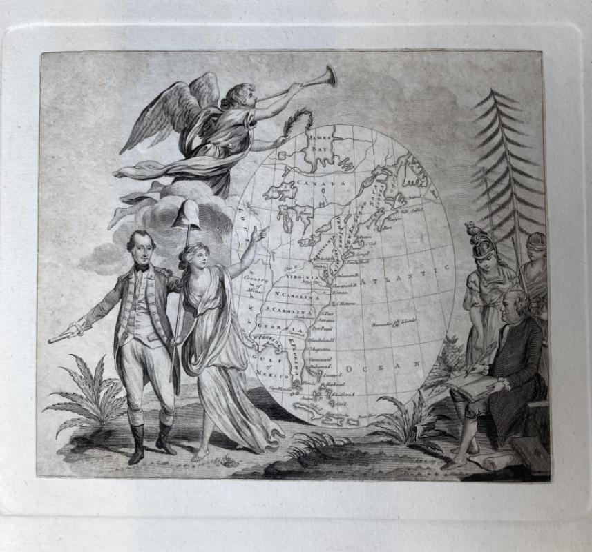
Rare Wallis Map of America (1783)

Book Description
Other books
If you liked the book you've just seen, you might be interested in other books from the same dealer below.

First Edition Oliver Twist
Charles Dickens
Richard Bentley, New Burlington Street
£3750.00
Offered by Peter Foster Books

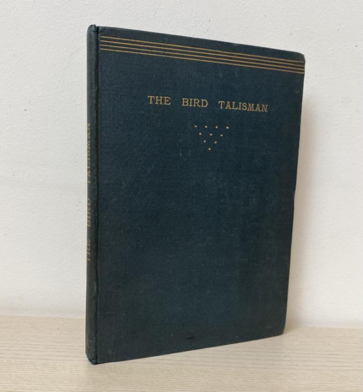
The Bird Talisman, An Eastern Tale
Wedgwood, Henry Allen
C. J. Clay
£200.00
Offered by Peter Foster Books
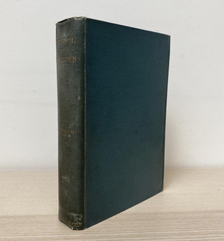
Journal of Researches into the Natural History and...
Darwin, Charles
Ward, Lock and Co.
£185.00
Offered by Peter Foster Books

Forget Me Not: A Christmas and New Year's Present...
-
R. Ackermann
£150.00
Offered by Peter Foster Books
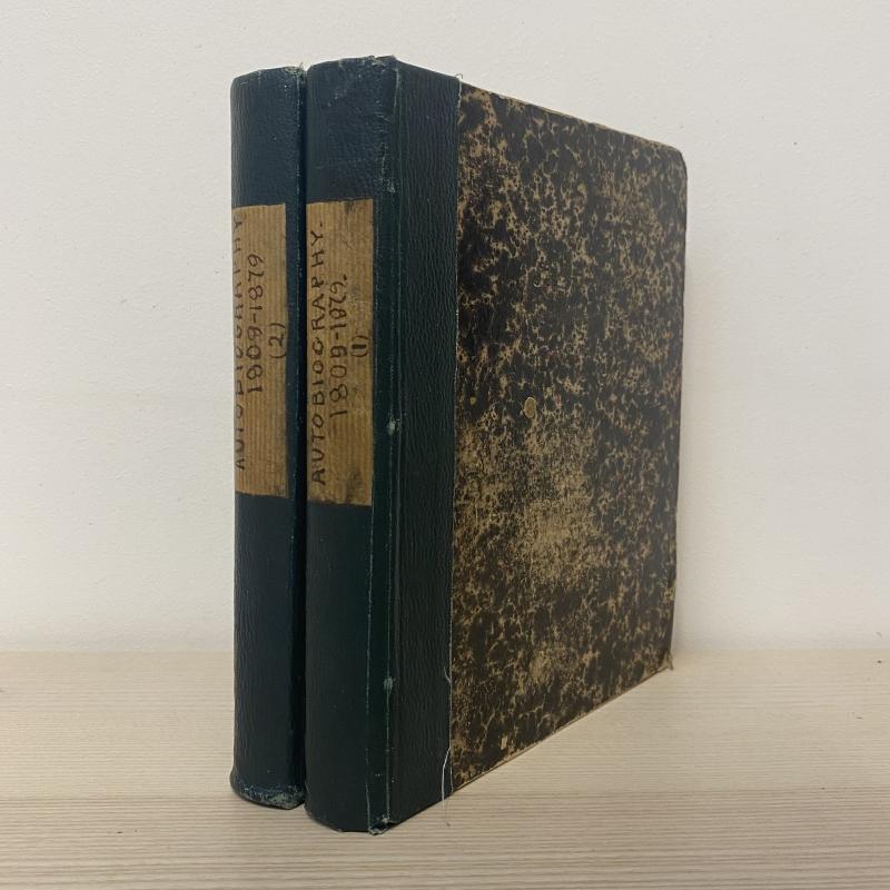
The Autobiography of an Old Cosmopolite - Seventy...
Unknown, 'F. F.'
Reserved
Offered by Peter Foster Books
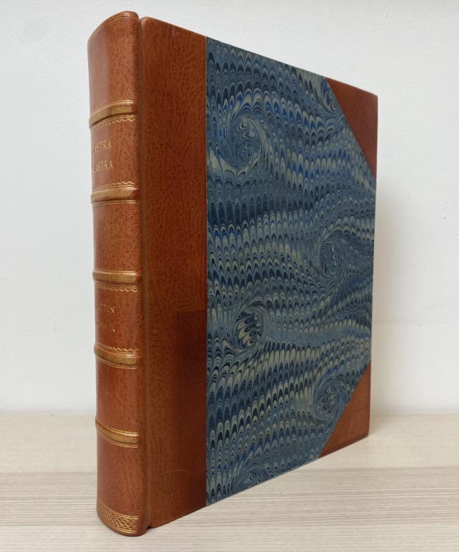
Astra Castra: Experiments and Adventures in the At...
Turnor, Hatton
Chapman and Hall
£300.00
Offered by Peter Foster Books

Essays, Biographical, Critical, and Historical, il...
Drake, Nathan
Printed by C. Whittingham for John Sharpe
£250.00
Offered by Peter Foster Books

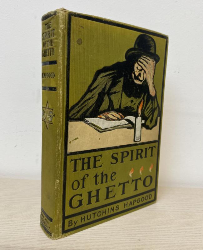
The Spirit of the Ghetto - Studies of the Jewish Q...
Hapgood, Hutchins
Funk & Wagnalls Company
£225.00
Offered by Peter Foster Books
Friends of the PBFA
Please email info@pbfa.org for more information