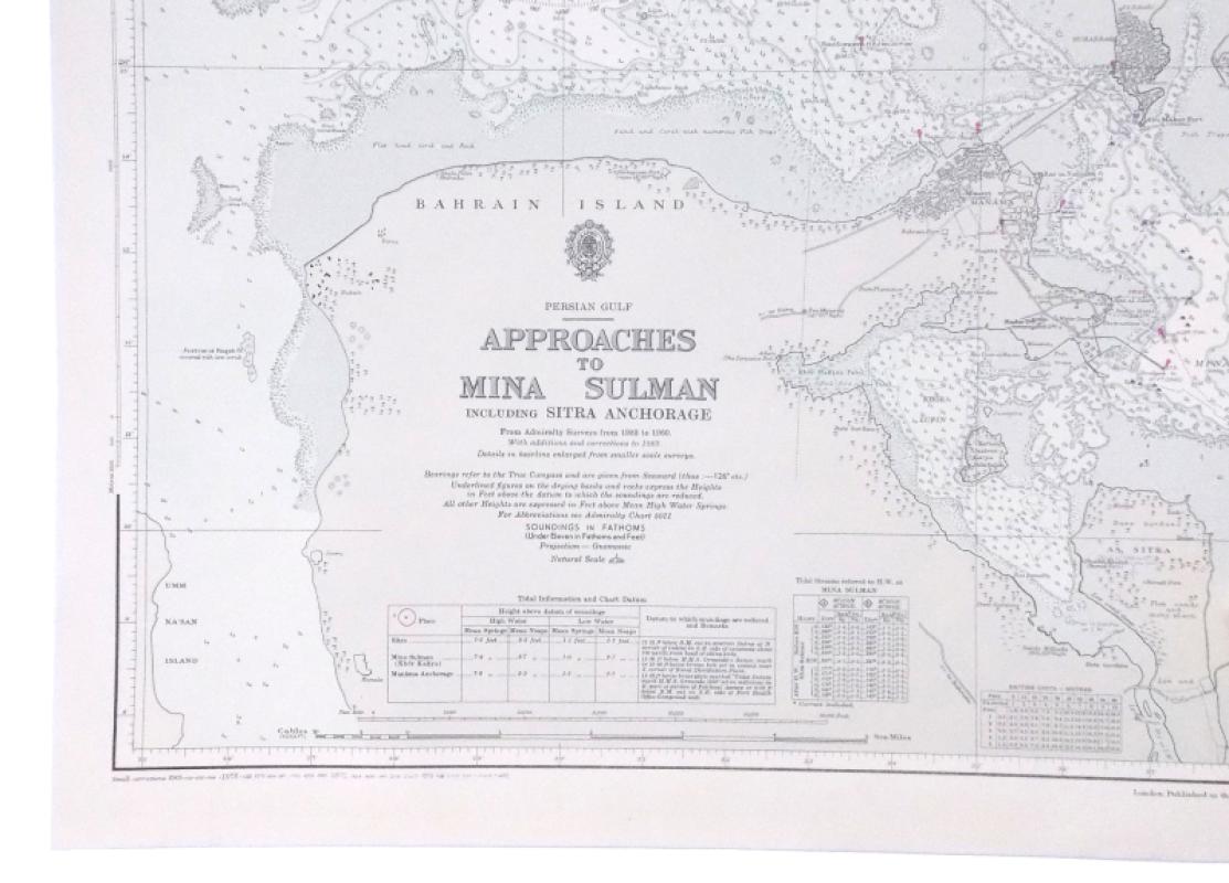
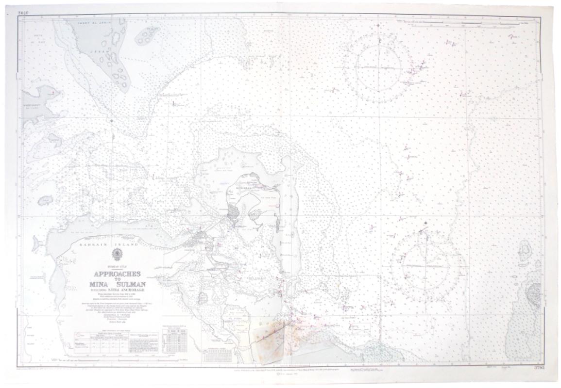
Persian Gulf. Approaches to Mina Sulman including Sitra Anchorage. From Admiralty Surveys from 1932 to 1960. With additions and corrections to 1969 [1973].
Book Description
Dealer Notes
Other books
If you liked the book you've just seen, you might be interested in other books from the same dealer below.
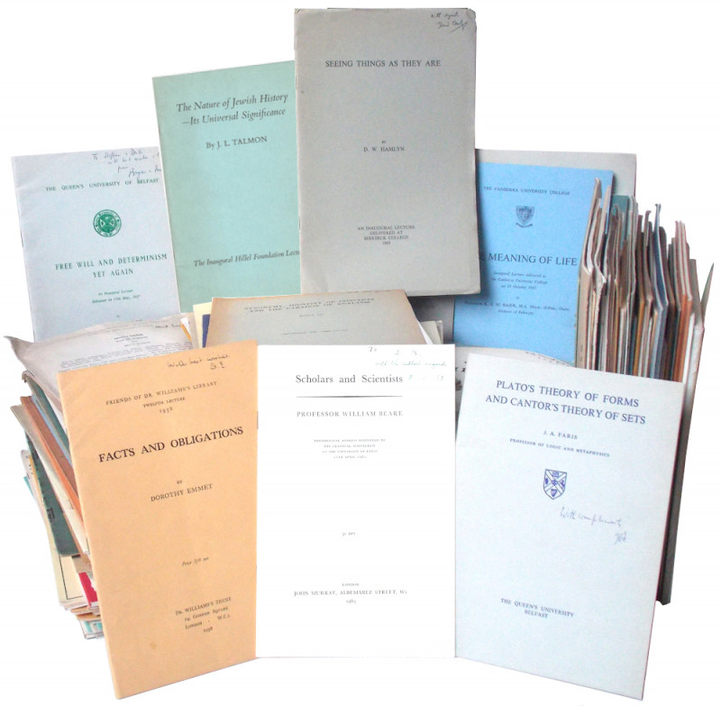
A large collection of offprints, dating from the 1...
[Körner, Stephan.]
£350.00
Offered by Meridian Rare Books
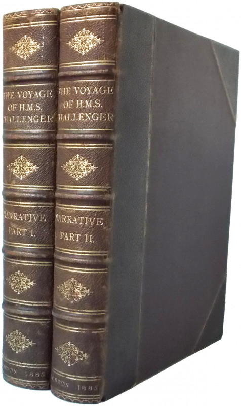
Report on the Scientific Results of the Voyage of...
[Challenger Expedition.] T. H. Tizard et al.
London: Printed for Her Majesty's Stationery Office
£1750.00
Offered by Meridian Rare Books
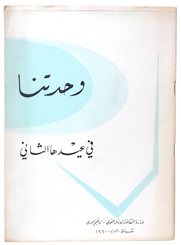
Wahdatuna fi 'idiha al-Thaani . . . [Our Union on...
United Arab Republic.
Dimashq / Damascus: Ministry of Culture and National Guidance
£150.00
Offered by Meridian Rare Books
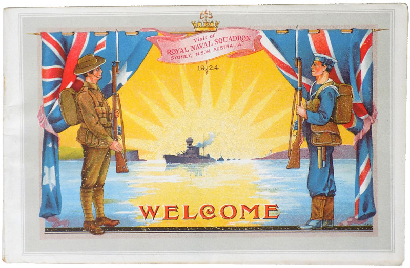
Souvenir of New South Wales Welcome to the British...
[Australia.]
[Sydney: Alfred James Kent, Government Printer]
£150.00
Offered by Meridian Rare Books
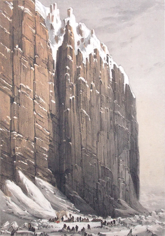
Ten Coloured Views taken during the Arctic Expedit...
Browne, W. H.
London: Ackermann and Co., 96, Strand
£12500.00
Offered by Meridian Rare Books
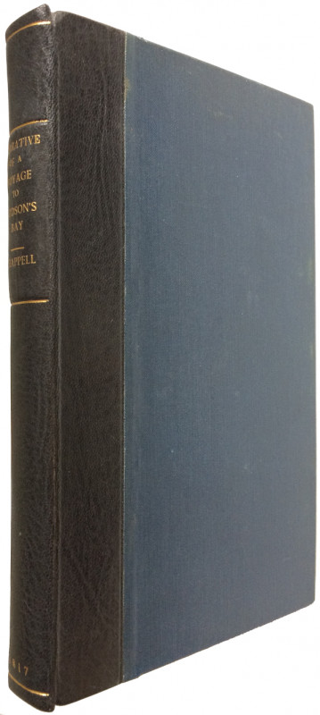
Narrative of a Voyage to Hudson’s Bay, in His Maje...
Chappell, Edward.
London: J. Mawman
£450.00
Offered by Meridian Rare Books
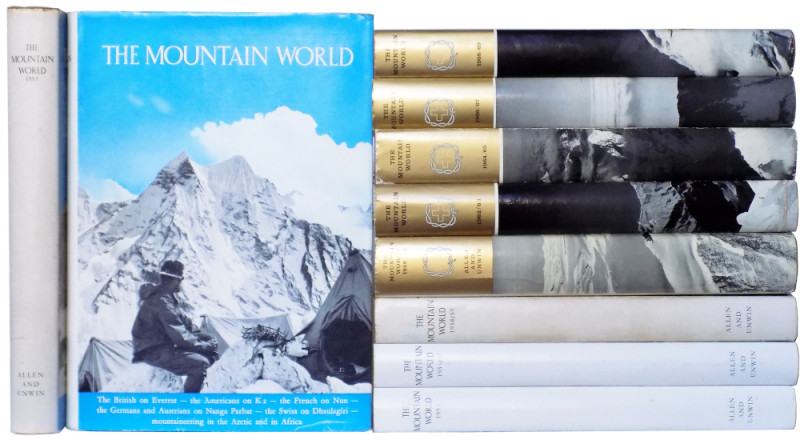
The Mountain World 1953 [-1968/9].
Kurz, Marcel, et al.
London: George Allen & Unwin
£250.00
Offered by Meridian Rare Books
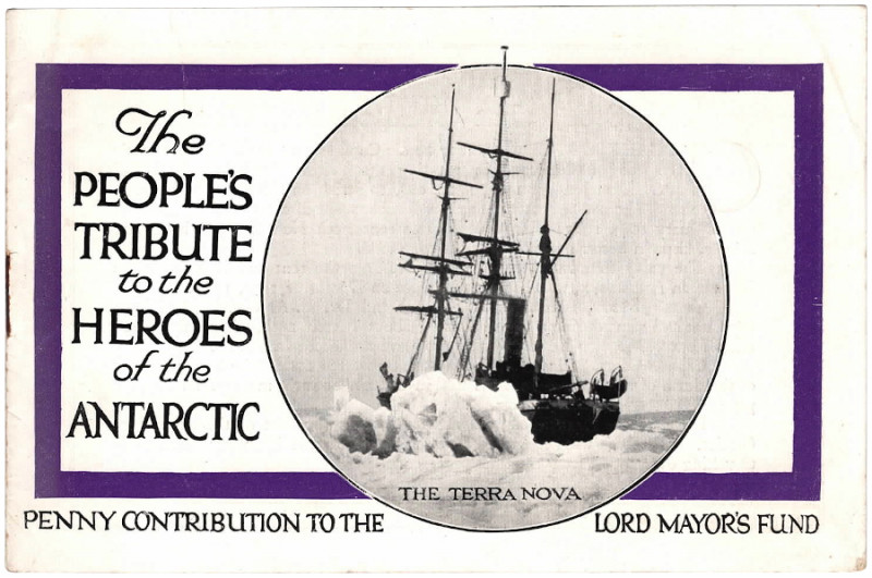
The People's Tribute to the Heroes of the Antarcti...
[Scott, Captain Robert F.]
No publisher.
£175.00
Offered by Meridian Rare Books
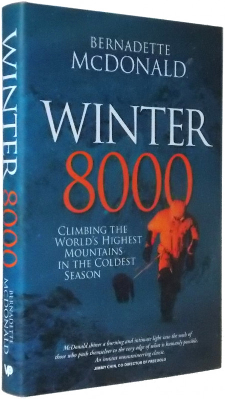
Winter 8000. Climbing the World’s Highest Mountain...
McDonald, Bernadette.
Sheffield: Vertebrate Publishing
£40.00
Offered by Meridian Rare Books
Friends of the PBFA
Please email info@pbfa.org for more information