Northern Part of England [with] Southern Part of England,
Book Description
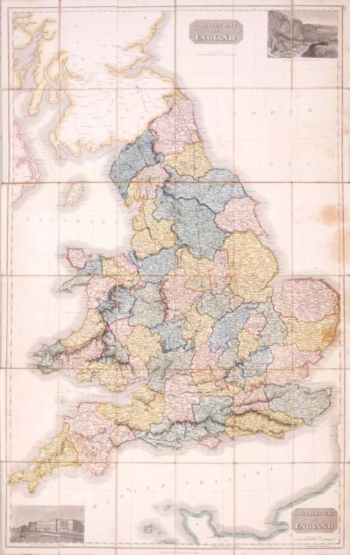
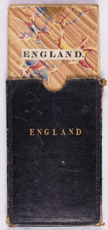
Engraved map on 2 sheets, joined, with original hand-colouring to the English and Welsh counties, and in outline to the adjacent coastlines, dissected and linen-backed, some pale uneven browning and oil spotting, mostly to the blank North Sea area, folding with marbled outer endpapers on verso into a contemporary black leather slipcase, gilt-lettered and blind-embossed, 8vo.
Dealer Notes
Published with Thomson’s New General Atlas, the Northern and Southern sheets here united and separately issued as a single sheet wall map, with two inset views, ‘The Rope Bridge between the Islands of Holyhead and Anglesea’, upper right, and ‘View of the New Custom House near London Bridge’, lower left.
Author
Thomson (John)
Date
1830
Other books
If you liked the book you've just seen, you might be interested in other books from the same dealer below.
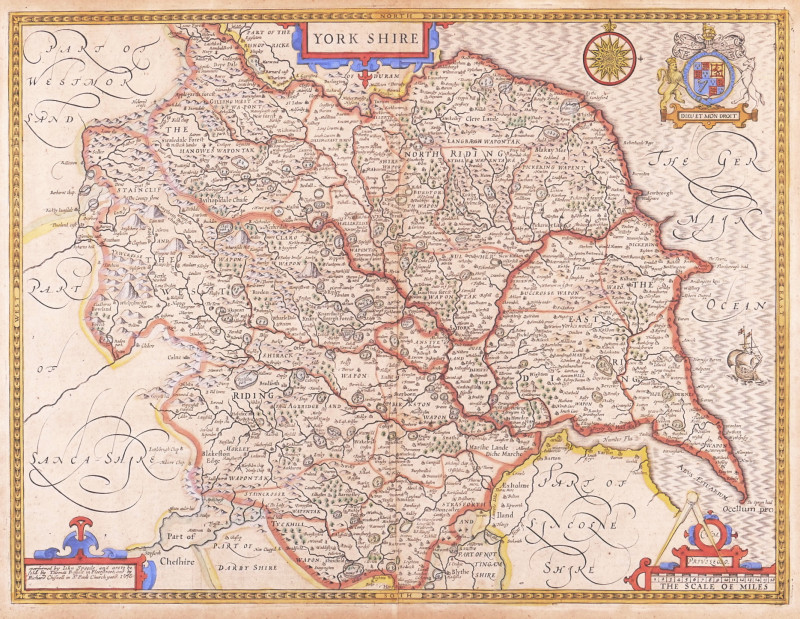
Northern Part of England [with] Southern Part of E...
Thomson (John)
£270.00
Offered by Robert Hall Pictures
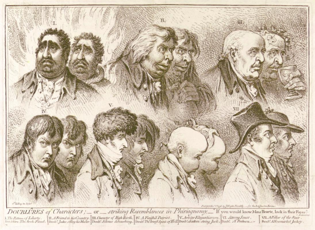
Doublûres of Characters; _ or _ striking Resemblan...
Gillray (James)
John Wright
£675.00
Offered by Robert Hall Pictures
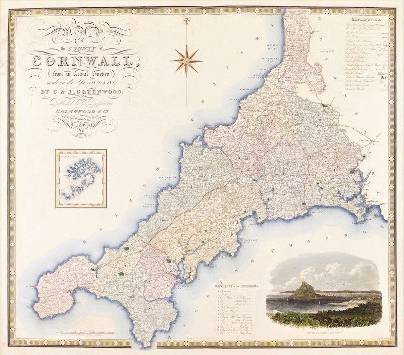
Map of the County of Cornwall from an Actual Surve...
Greenwood (Christopher and John)
Greenwood & Co
£250.00
Offered by Robert Hall Pictures
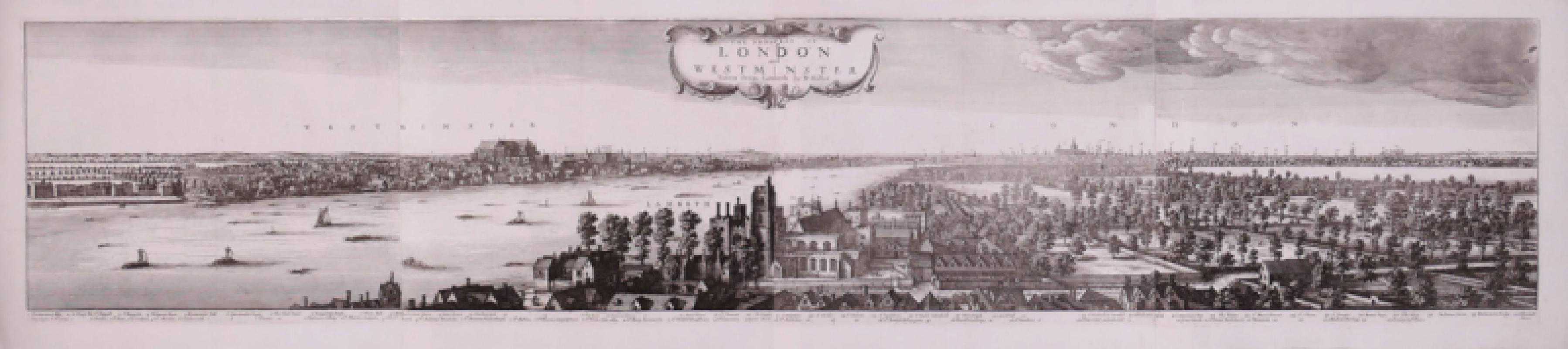
The Prospect of London and Westminster Taken from...
Hollar (Wenceslaus)
[Laurie & Whittle]
£5250.00
Offered by Robert Hall Pictures
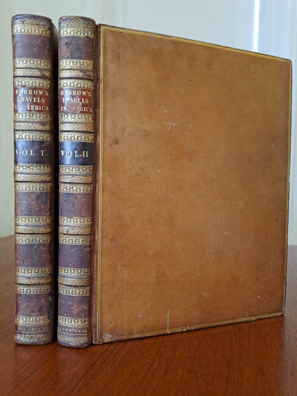
Travels into the Interior of Southern Africa.
Barrow (John)
London, for T. Cadell & W. Davies
£1000.00
Offered by Robert Hall Pictures
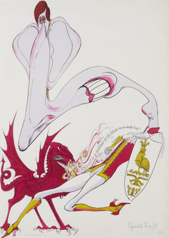
"There'll be a welcome in the hillside for you boy...
Scarfe (Gerald, C.B.E.)
Curwen Studio
£495.00
Offered by Robert Hall Pictures
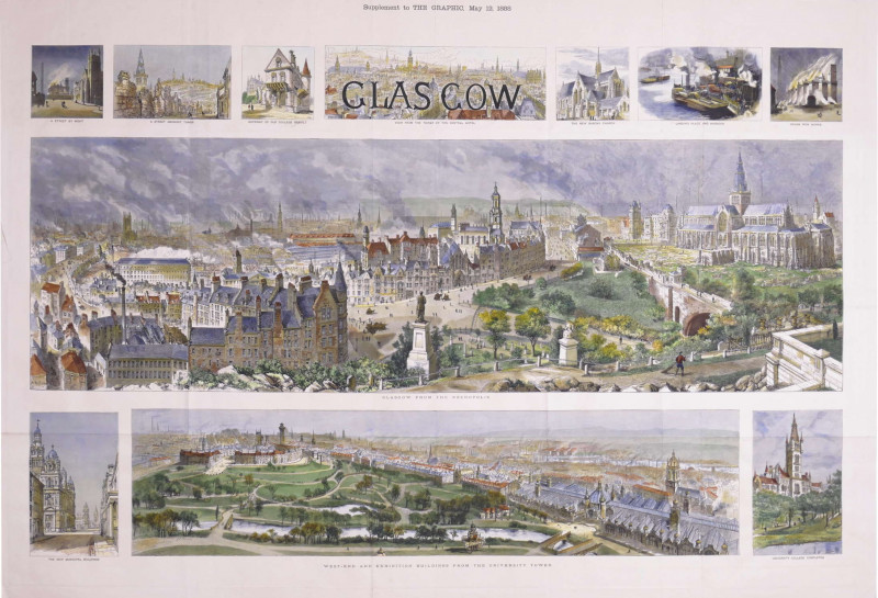
Glasgow, Supplement to The Graphic, May 12, 1888
Brewer (Henry William)
The Graphic, London
£875.00
Offered by Robert Hall Pictures
Friends of the PBFA
For £10 get free entry to our fairs, updates from the PBFA and more.
Please email info@pbfa.org for more information