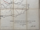
Map of the Oxford, Worcester and Wolverhampton Railway showing a planned extension from Oxford to London
Book Description
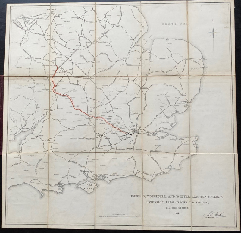
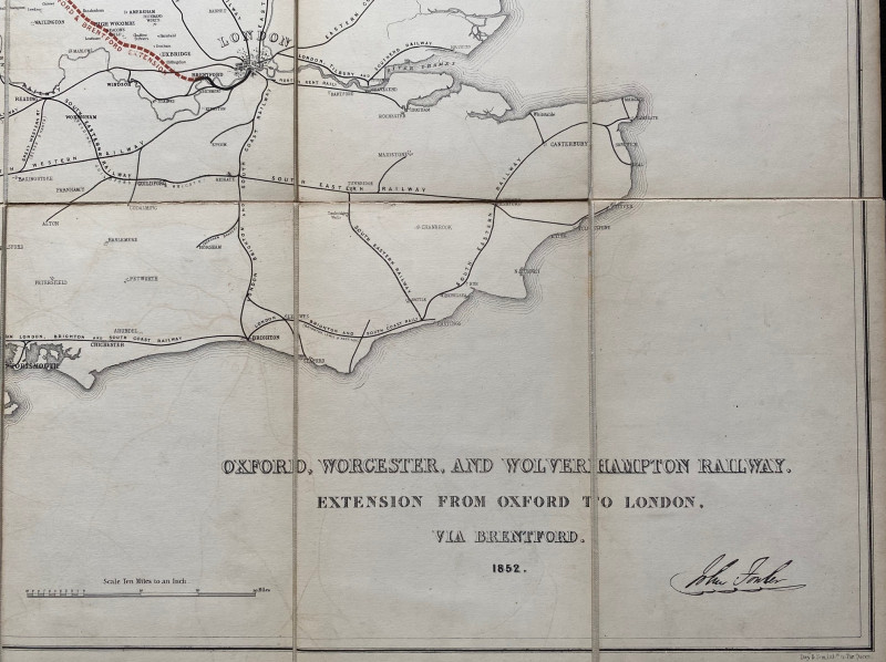
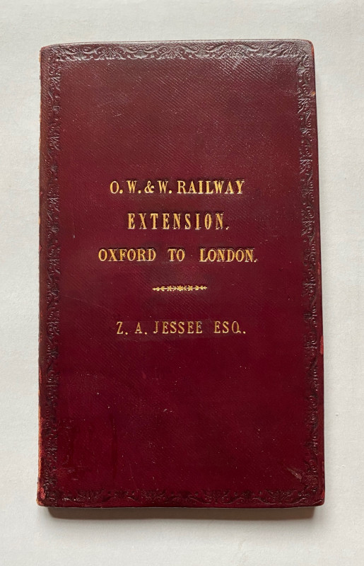
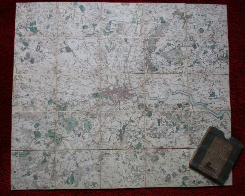
Map of the Oxford, Worcester and Wolverhampton Railway showing a planned extension from Oxford to London via Brentford. No date but circa 1845. On folding linen in 15 sections, size 65 by 63 cm. Scale 10 miles to the inch. Uncoloured, though the planned extension of the line is shown in red. The names of other railway companies are printed next to their lines. Folds into original leather covered boards with the name Z A Jesse gold-stamped to the front. The map bears the facsimile signature of John Fowler. The line was to link the Midlands, the Cotswolds and London. VG condition.
Author
Anon
Date
1845
Binding
Folds into stiff boards
Publisher
Unpublished
Condition
VG
Other books
If you liked the book you've just seen, you might be interested in other books from the same dealer below.
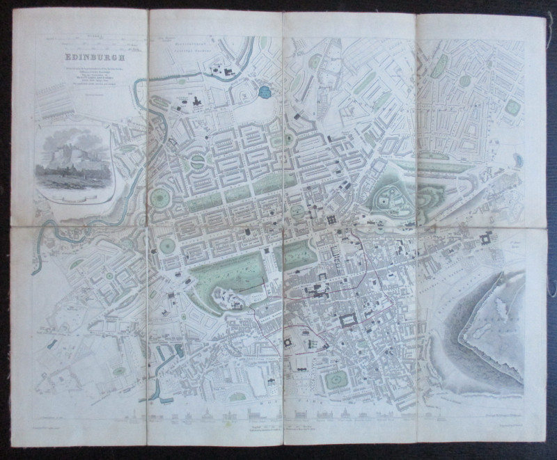
Map of Scotland with a Plan of Edinburgh 1834
Walker
Baldwin and Cradock
£275.00
Offered by Arthur Hook

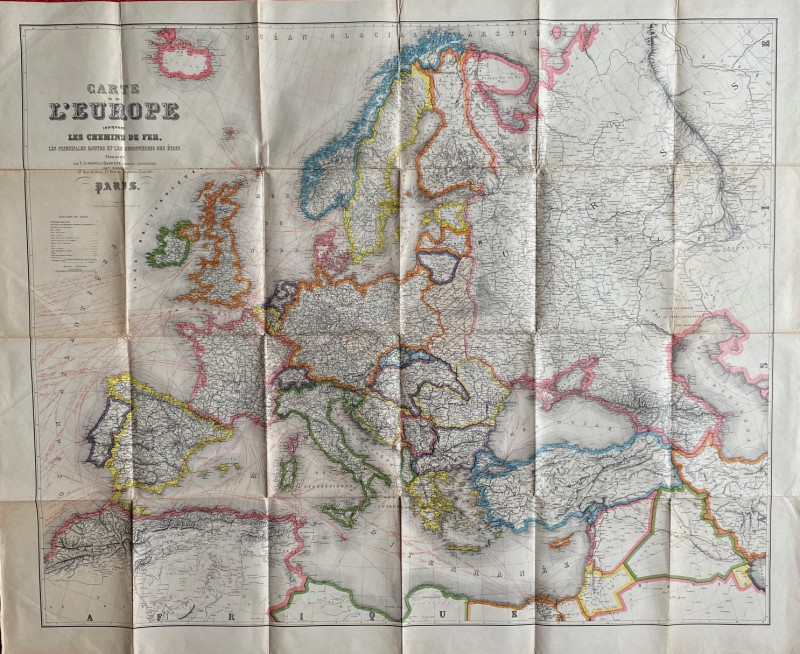
Map of of the Railways & Air Routes of Europe 1930
Blondeau
Girard and Barrėre
£55.00
Offered by Arthur Hook
Friends of the PBFA
For £10 get free entry to our fairs, updates from the PBFA and more.
Please email info@pbfa.org for more information