Map of of the Railways & Air Routes of Europe 1930
Book Description
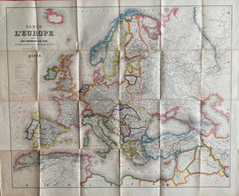
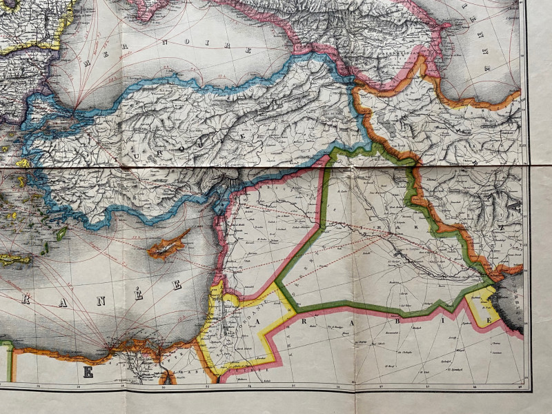
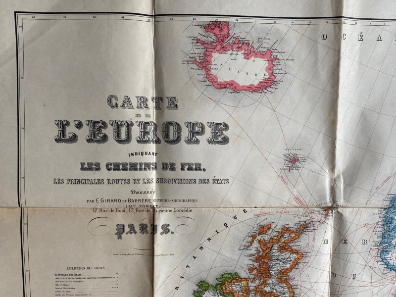
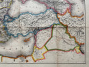
Map of of the Railways of Europe. Carte de l’Europe Indiquant les Chemins de Fer, les principales routes et les subdivisions des états by Girard and Barrėre, Paris circa 1930. Engraved by Blondeau. On paper size 130 by 104 cm. Scale 130 km. to the inch. Full colour. A detailed map of Europe with parts of north Africa and the Middle East that appears to have been published at the very end of the First World War. The territorial changes that resulted from the war and the Russian Revolution are not all shown in full: the Baltic states have emerged, France has regained Alsace Lorraine but the borders of Russia have yet to be finalised and Poland does not appear as an independent state. Serbia is still shown and there is no Yugoslavia. The Ottoman Empire seems to have collapsed and superceded by new states and frontiers. The main subject of the map is clearly the European railway network, yet addition to all the railways some of the earliest air routes and airfields are marked and appear in the key. A fascinating oddity in Good to VG condition. Has been folded.
Author
Blondeau
Date
1930
Publisher
Girard and Barrėre
Illustrator
Blondeau
Condition
Good to VG
Other books
If you liked the book you've just seen, you might be interested in other books from the same dealer below.
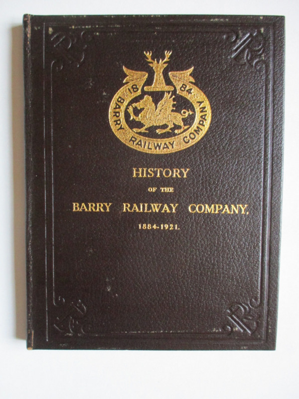
History of the Barry Railway Company 1884-1921
Rimmell
Barry Railway Company
£165.00
Offered by Arthur Hook

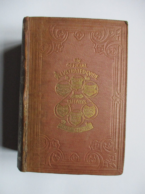
The Official Illustrated Guide to the Great Wester...
Measom
Griffin Bohn
£220.00
Offered by Arthur Hook
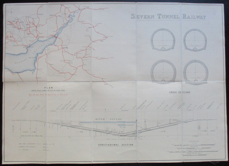
Map and Sections of the Severn Tunnel Railway 1875
Hawkshaw and Richardson
Unpublished
£250.00
Offered by Arthur Hook
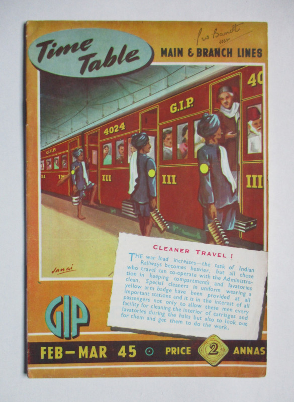
Great Indian Peninsula Railway timetable of Main a...
Great Indian Peninsula Railway
Great Indian Peninsula Railway
£55.00
Offered by Arthur Hook
Ordnance Survey map of City of London (part) with...
Yelland
Ordnance Survey
£55.00
Offered by Arthur Hook
Friends of the PBFA
For £10 get free entry to our fairs, updates from the PBFA and more.
Please email info@pbfa.org for more information