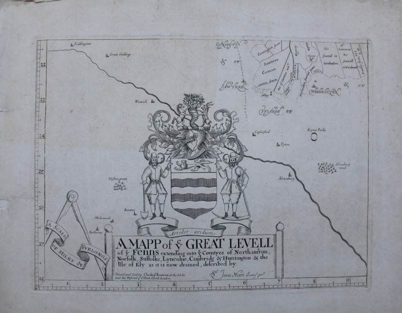
MAP OF THE GREAT LEVEL
Book Description
THE DRAINING OF THE FENS
JONAS MOORE A Mapp of Ye Great Levell of ye Fens extending into ye Countyes of Northampton, Norfolk, Suffolke, Lyncolne, Cambridge & Huntington & the Isle of Ely as it is now drained.
Printed and Sold by Christopher Browne at the Globe near the West end of St. Paul’s Church, 1706 [but 1836].
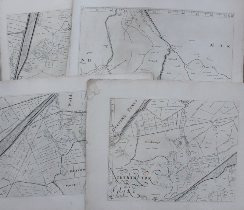
Engraved map on 16 sheets, each 360 x 475 mm. on a scale of 2 inches to the mile. Some slight fraying and a few tears in the very wide margins, not affecting the printed images. Watermark of J. Whatman, 1836.
The Bedford Level Company was set up in 1630 [their arms appear above the title of the map] and contracted with Cornelius Vermuyden to perform the necessary drainage works on the Level; his initial works completed in 1636. Further works were carried out in 1651 and 1652. In 1654 Jonas Moore was given leave to publish a map of the area; printed in 1658 only one copy survives, in the National Archives. In 1684 it was reprinted with a number of errors corrected, by Moses Pitt; a single copy copy is known, held at the Bodleian. Christopher Browne published the final edition in 1706 and these plates were used to print two further issues [identified by dated watermarks], one in 1824, and this final one in 1836. The original map is considered to be the first large scale map published of any area of England; it is astonishingly detailed, showing each plot of land and in some cases the owners name.
Author
JONAS MOORE
Date
1706 [1836]
Other books
If you liked the book you've just seen, you might be interested in other books from the same dealer below.
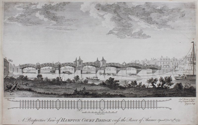
A Perspective View of Hampton Court Bridge Cross t...
HECKEL, A[ugustin]
Charles Grignon,
£300.00
Offered by Michael S Kemp Bookseller
THIS LABOURING LIFE - WITH MS CORRECTIONS
HENRY WILLIAMSON
£300.00
Offered by Michael S Kemp Bookseller
In Memorium for Francis Heger.
BENEDICTINES AT WURZBURG
£250.00
Offered by Michael S Kemp Bookseller
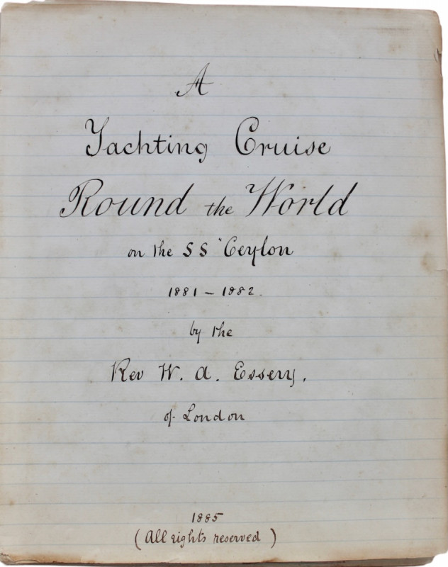
A Yachting Cruise Round the World on the SS Ceylon...
THE FIRST COMMERCIAL WORLD CRUISE.
Manuscript
£7500.00
Offered by Michael S Kemp Bookseller
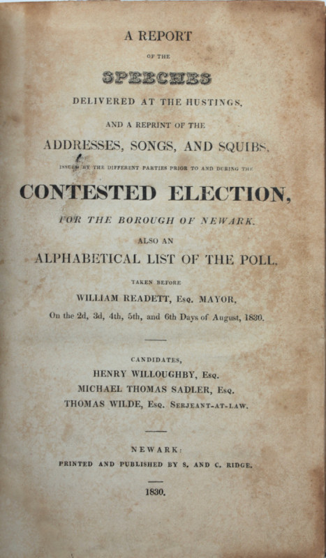
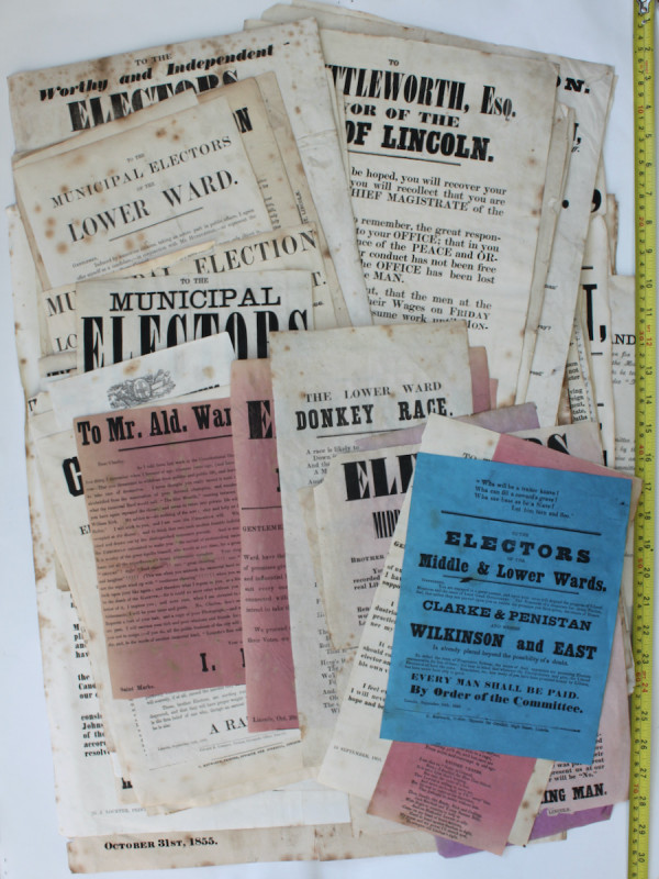
COLLECTION OF RARE EPHEMERA 1840 - 1880
CITY OF LINCOLN
£1995.00
Offered by Michael S Kemp Bookseller
Friends of the PBFA
For £10 get free entry to our fairs, updates from the PBFA and more.
Please email info@pbfa.org for more information