Map of the City of Singapore 1956
Book Description
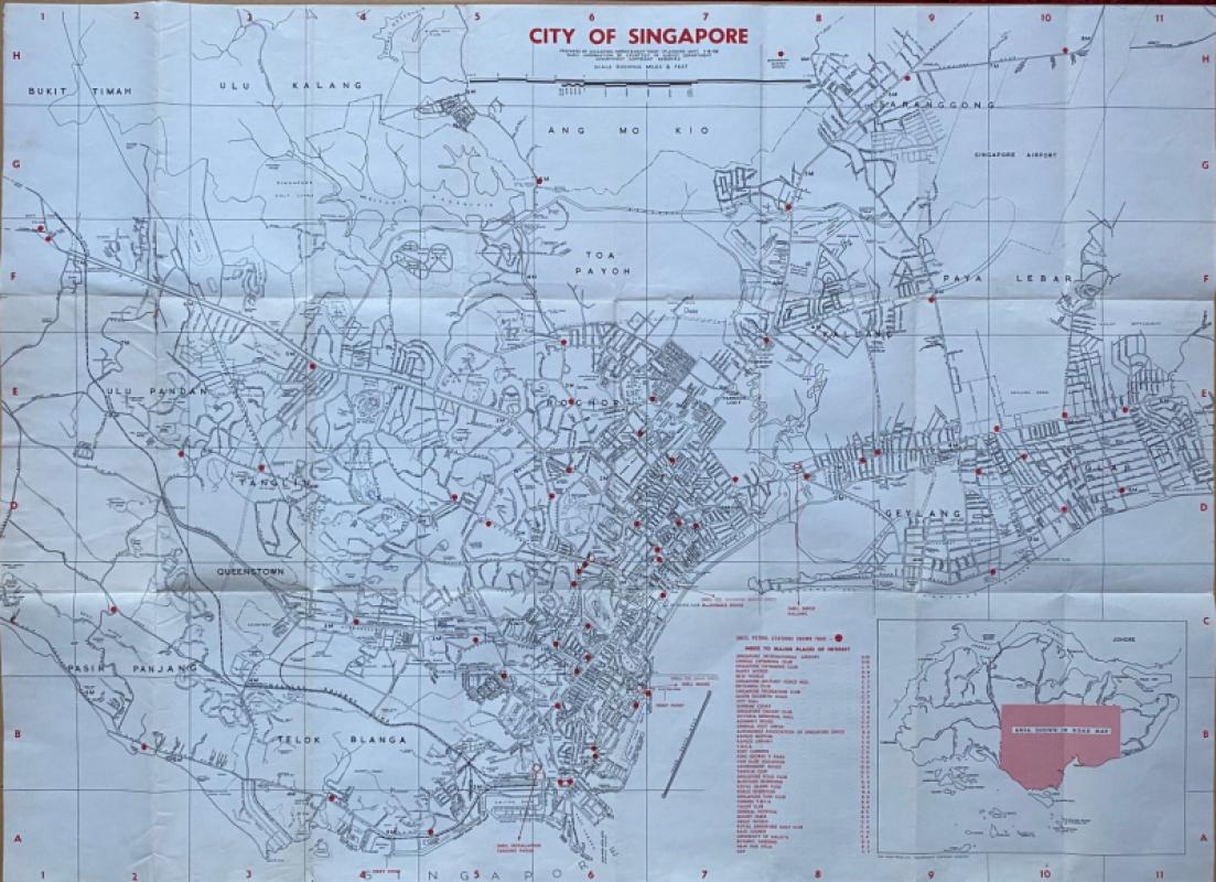
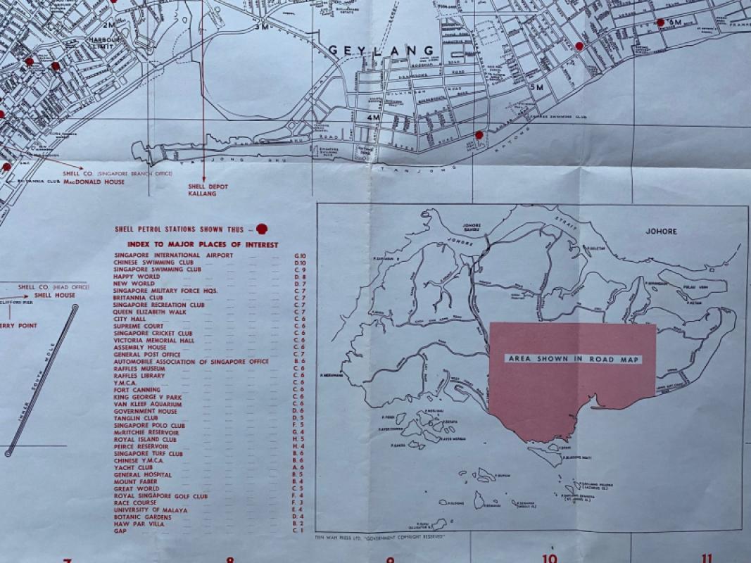
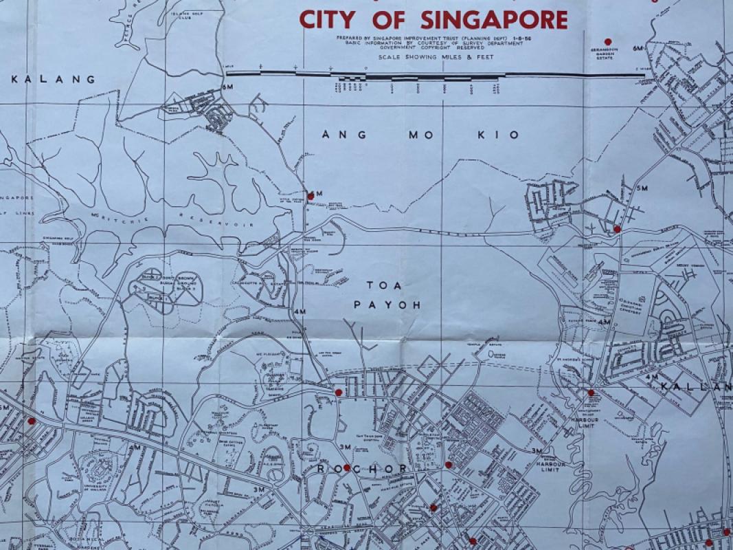
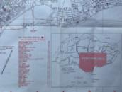
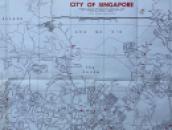
Map of the City of Singapore prepared by Singapore Improvement Trust Planning Department and published by Shell 1956. Printed by Tien Wah Press. On paper size 102 by 74 cm. Scale five and a half inches to the mile. Uncoloured (apart from a series of red dots that mark the location of Shell petrol stations). A very detailed map. Includes an index to major places of interest including the Chinese Swimming Club; the Singapore Swimming Club; Happy World; the Britannic Club; the Polo Club; Royal Singapore Golf Club; Tanglin Club; Haw Par Villa; Singapore Cricket Club etc. Includes an inset map of the island. The map covers an area from Bukit Timah and the Peirce Reservoir across to Sarangong in the north and from Prince Edward Park in the west to the Frankel Estate along the coast in the east. The front of the original Shell card covers is detached and both covers are worn to the edges: the map is in good to VG condition. Folds down to 26 by 14 cm.
Author
Singapore Improvement Trust Planning Department
Date
1956
Publisher
Shell
Condition
Good to VG
Other books
If you liked the book you've just seen, you might be interested in other books from the same dealer below.
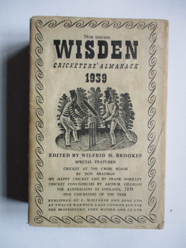
Early Ordnance Survey Map Birmingham Area circa 18...
Colby
Ordnance Survey
£100.00
Offered by Arthur Hook
The Experienced English Housekeeper, for the use a...
Raffald
Baldwin
£210.00
Offered by Arthur Hook
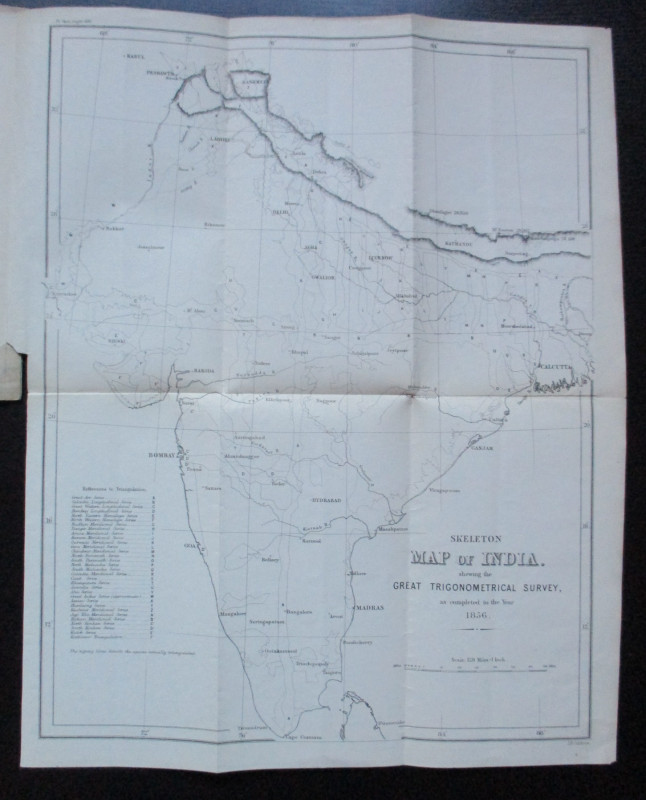
Geodesy; Especially Relating to the Great Trignome...
Strange
Royal United Institution
£45.00
Offered by Arthur Hook
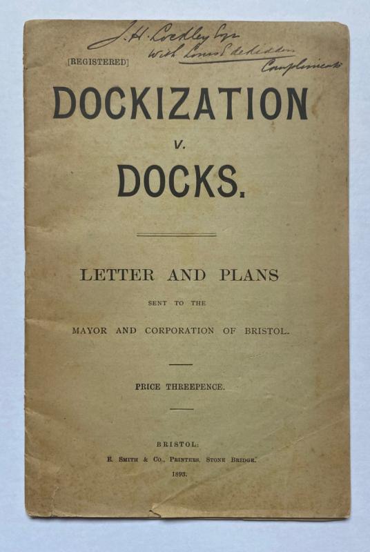
Dockization versus Docks, Letters and Plans sent t...
de Ridder
de Ridder
£30.00
Offered by Arthur Hook
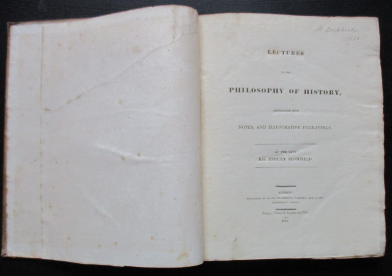
Lectures on the Philosophy of History
Blomfield
Black, Kingsbury, Parbury and Allen
£235.00
Offered by Arthur Hook
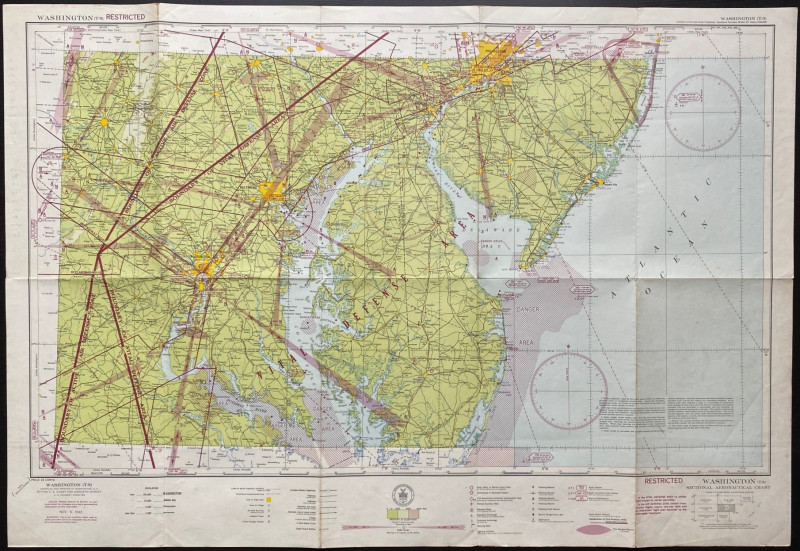
Map of Washington Air Defence Zone 1942
Colbert
US Coast and Geodetic Survey
Reserved
Offered by Arthur Hook
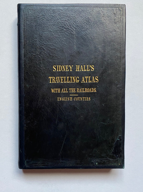
Sydney Hall's Travelling Atlas of the English Coun...
Hall
Chapman and Hall
£375.00
Offered by Arthur Hook
Friends of the PBFA
For £10 get free entry to our fairs, updates from the PBFA and more.
Please email info@pbfa.org for more information