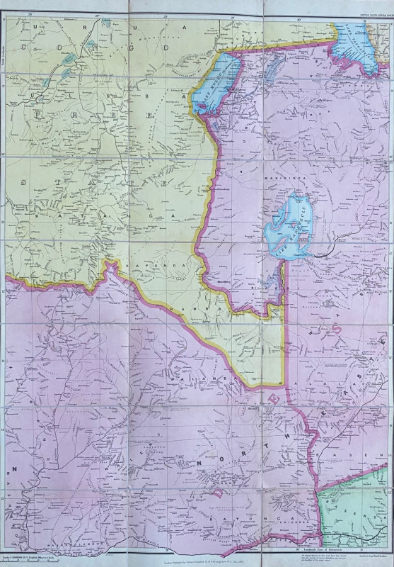
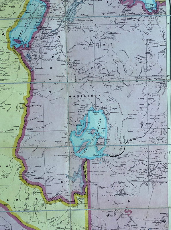
Map of Rhodesia 1903. British South Africa & Rhodesia sheet 2
Book Description
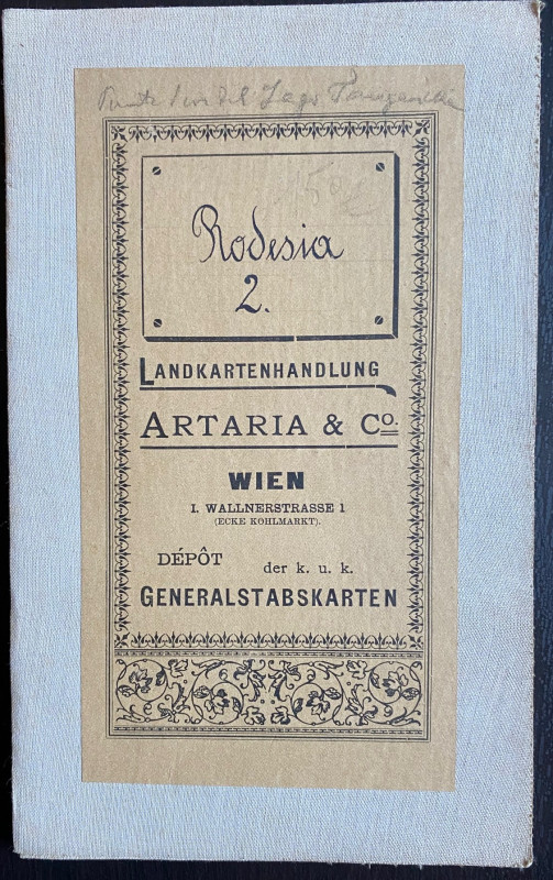
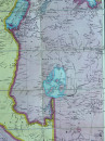
Map of Rhodesia 1903. British South Africa & Rhodesia sheet 2, published by Stanford London January 1st 1903. On folding linen in 21 sections, size 95 by 66 cm. Scale 1:1,000,000 or 15.78 miles to the inch. Colour. Covers much of Northern Rhodesia and part of the Congo Free State, an area south from Lake Mweru and Lake Tanganyika to the River Kafue and the River Zambezi. The map was originally sold in Vienna and has the bookplate of an Austrian bookseller. A detailed map in VG condition.
Author
Stanford
Date
1903
Binding
Folding map on cloth
Publisher
Stanford
Condition
VG
Other books
If you liked the book you've just seen, you might be interested in other books from the same dealer below.
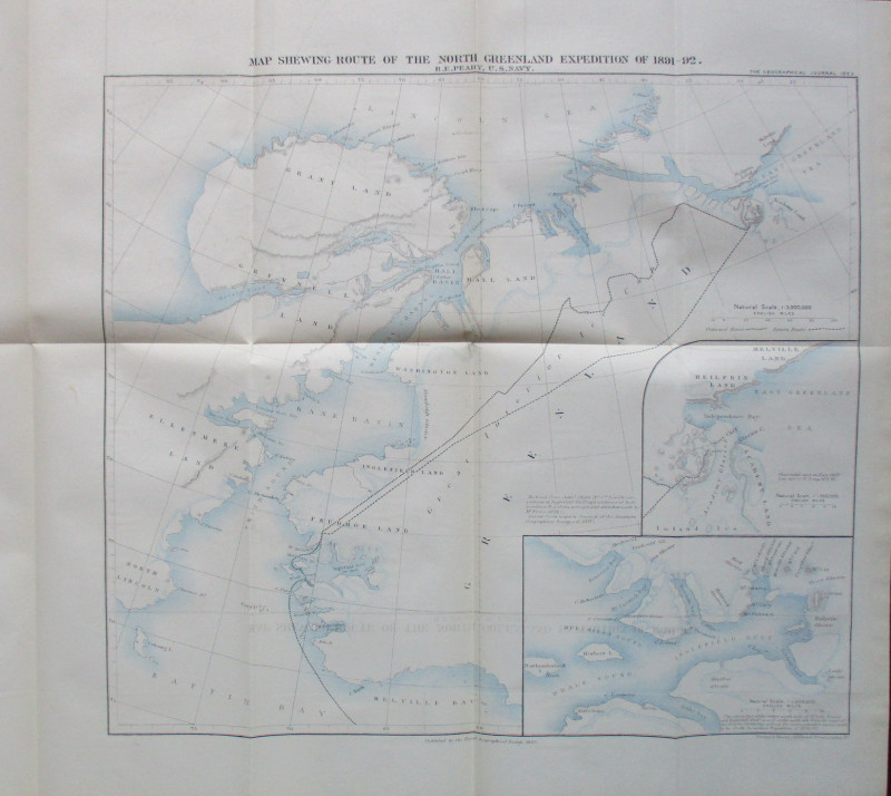
Map Shewing Route of the North Greenland Expeditio...
Peary
Royal Geographical Society
£55.00
Offered by Arthur Hook
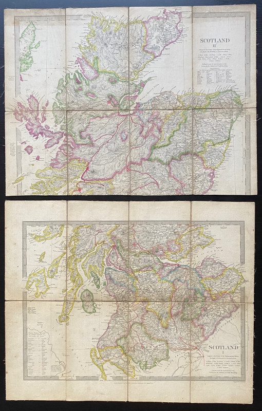
Map of Scotland with a Plan of Edinburgh 1834
Baldwin and Cradock
Baldwin and Cradock
£275.00
Offered by Arthur Hook


Doncaster Races by Great Northern Railway 1870
Anon
Great Northern Railway
£45.00
Offered by Arthur Hook
Friends of the PBFA
For £10 get free entry to our fairs, updates from the PBFA and more.
Please email info@pbfa.org for more information