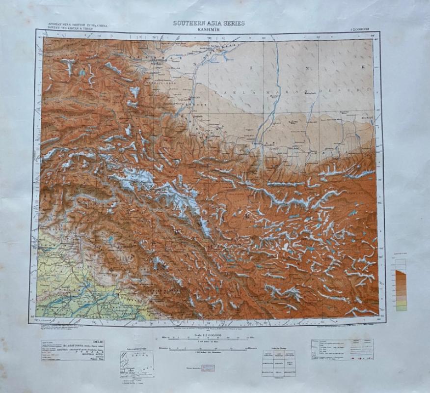
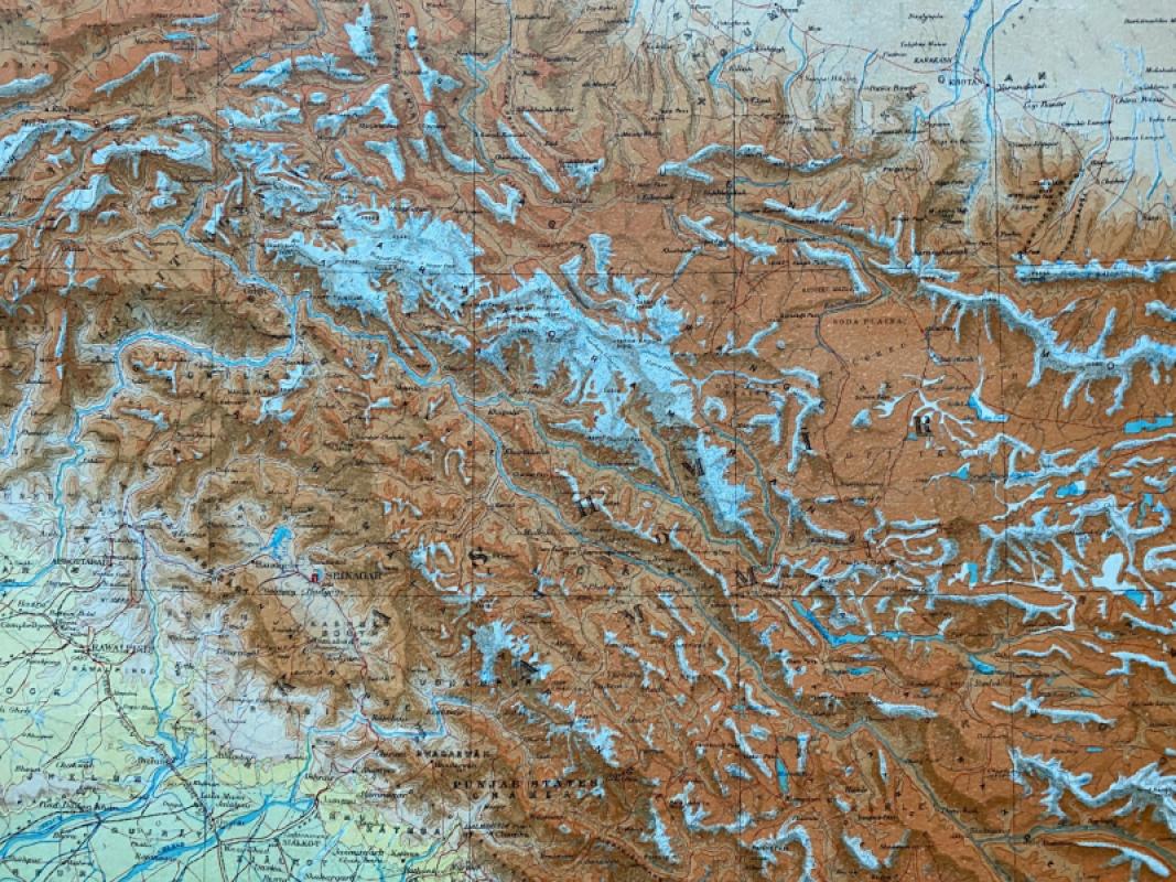
Map of Kashmir 1942

Book Description
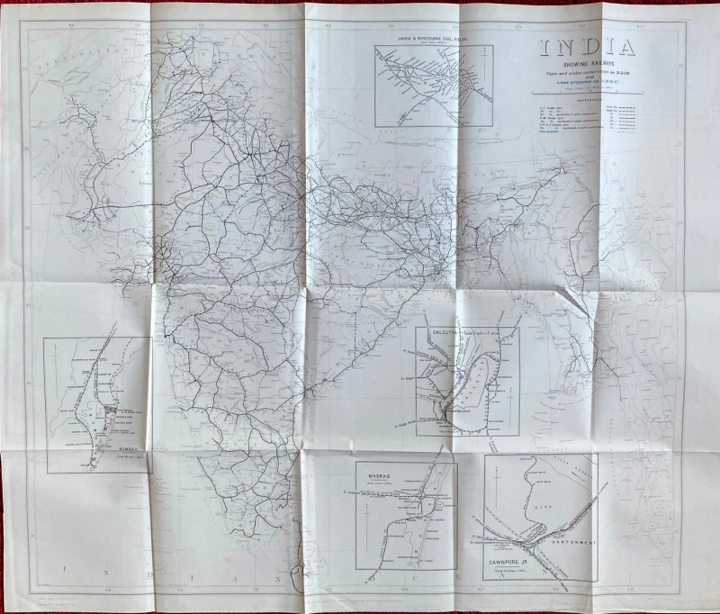
Map of Kashmir 1942. Published by the Survey of India under the direction of Brigadier R H Thomas, Calcutta 1942. On paper size 81 by 66 cm., with the actual map image 58 by 49 cm. Scale 1:2,000,000. Colour. Shows Kashmir with parts of British India, China, Soviet Turkistan and Tibet. Heights shown by hachuring and by spot heights. Has been rolled. Good condition.
Author
Thomas
Date
1942
Publisher
Survey of India
Condition
Good
Other books
If you liked the book you've just seen, you might be interested in other books from the same dealer below.
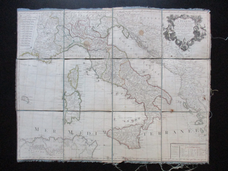
Map of Italy. L'Italie Dresse sur les Observations...
Delisle
Dezauche
£105.00
Offered by Arthur Hook
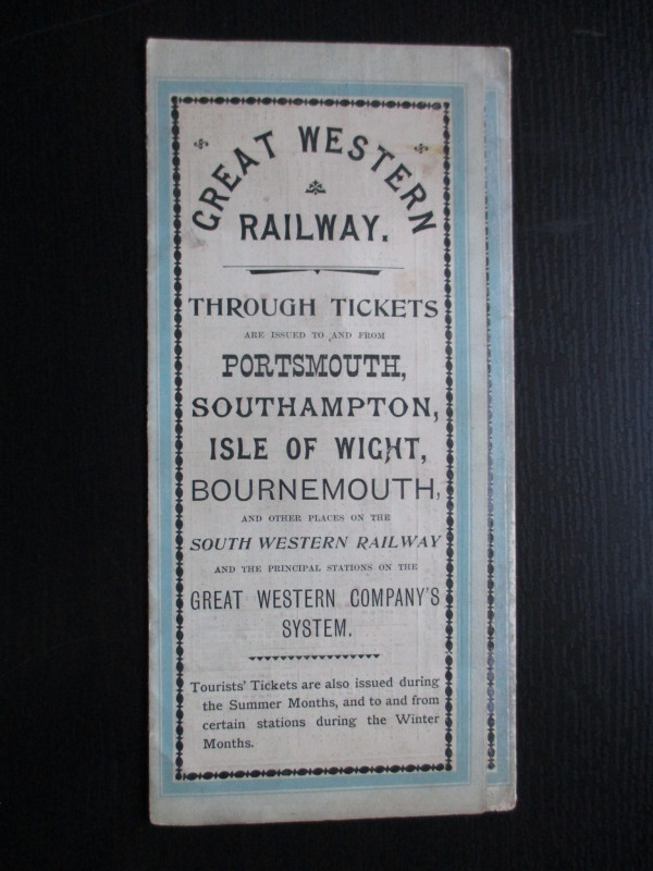
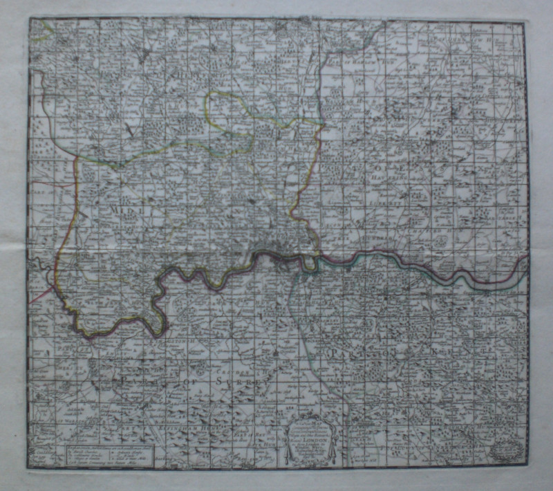
The Great Western Railway of England. Train servic...
GWR
Great Western Railway
£45.00
Offered by Arthur Hook
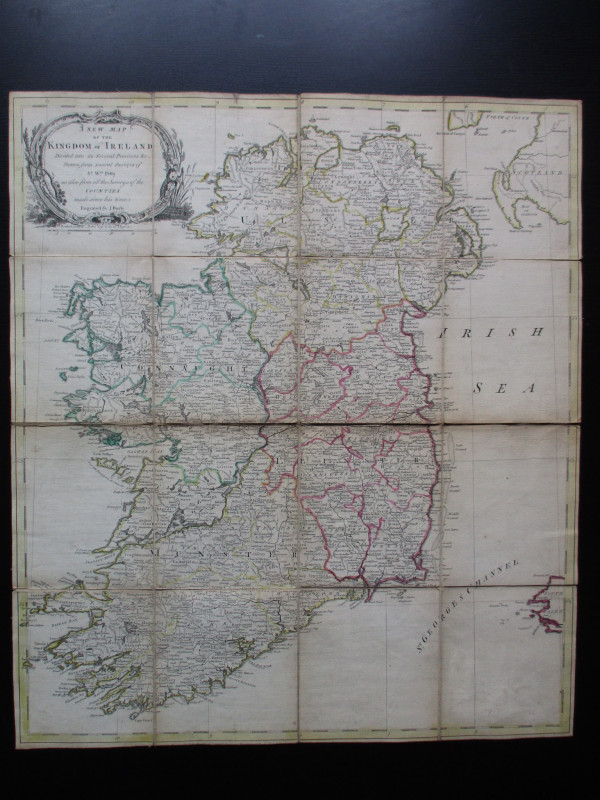
A New Map of the Kingdom of Ireland Divided into i...
Bayly
Carrington Bowles
£325.00
Offered by Arthur Hook
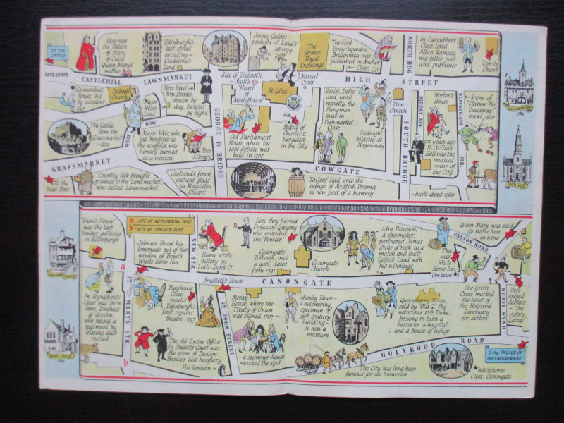
The Royal Mile, Edinburgh. A map displaying the wh...
Sayer
Strand Magazine
£40.00
Offered by Arthur Hook
Friends of the PBFA
For £10 get free entry to our fairs, updates from the PBFA and more.
Please email info@pbfa.org for more information