Map of Johore 1944
Book Description
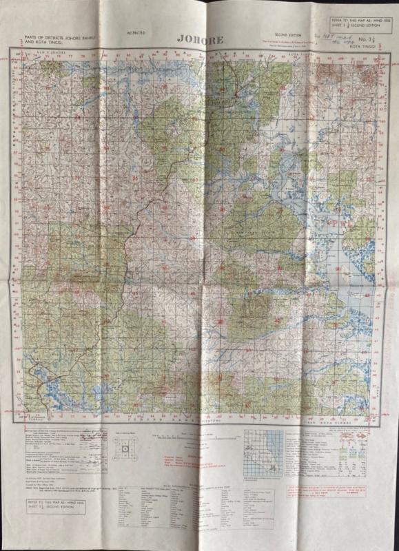
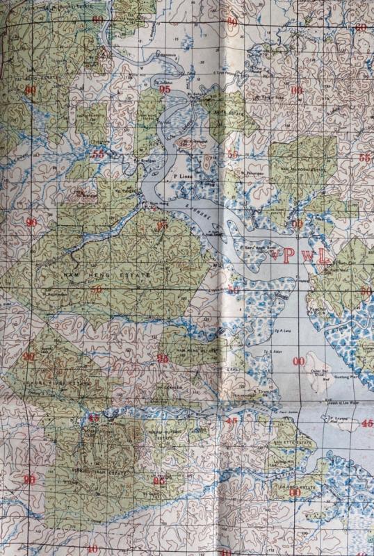
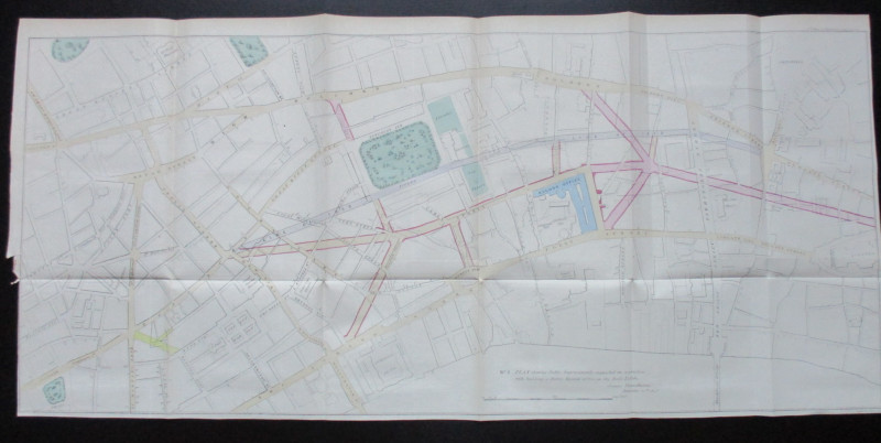
Map of Johore 1944. Johore, published by the Survey of India, Calcutta for the British War Office 1944. 2nd edition. On paper size 69 by 51 cm. Scale one inch to the mile. With two keys, one to geographical features including railways (built and under construction); roads; canals; wells; cart tracks; bridle paths; footpaths; mineral and telegraph lines etc., and the other a key to buildings and features such as churches; mosques; Chinese and Hindu temples; Buddhist temples; mines; deserted villages; forest bungalows; hospitals; schools; police and customs stations etc. Below the map is a glossary of terms used in English and Malay. Colour. Heights are shown by colour and contours. Has been folded. A detailed map in VG condition
Author
Survey of India
Date
1944
Publisher
Survey of India
Condition
VG
Other books
If you liked the book you've just seen, you might be interested in other books from the same dealer below.
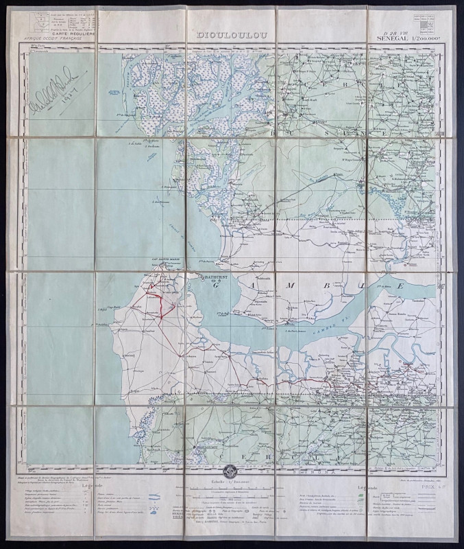
Map of Dioloulou Senegal 1924
Barrere
Service Geographique de l‘Afrique Francaise and Andriveau Goujon
£85.00
Offered by Arthur Hook
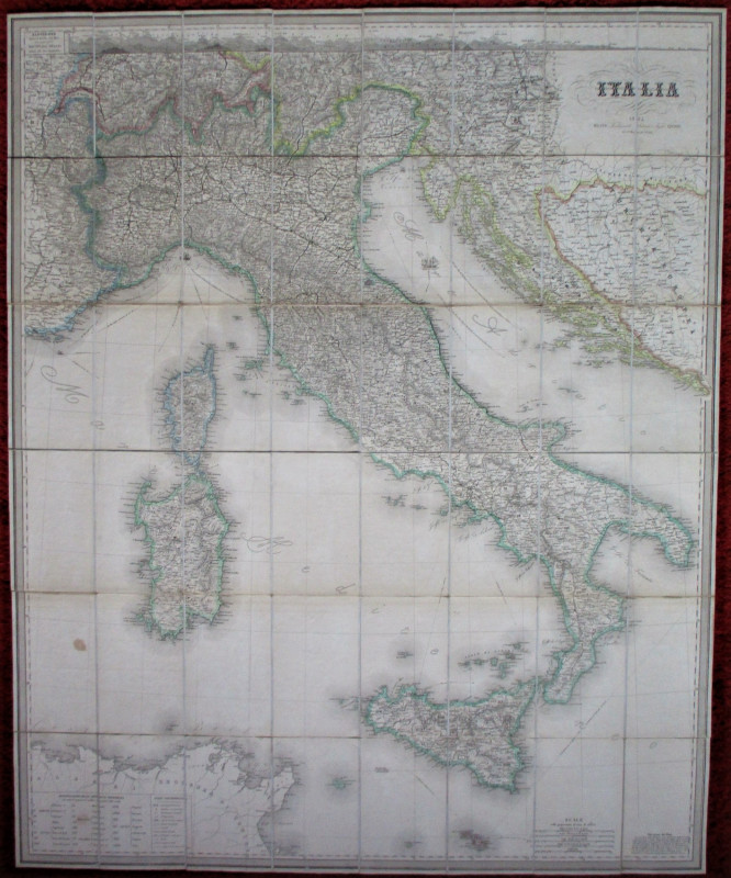
Railway Map of Italy. Carta Geografica del Regno d...
Artaria
Artaria
£295.00
Offered by Arthur Hook
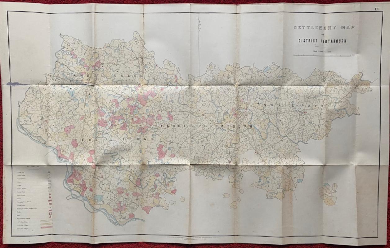
Settlement Map of District Pertabgurh (Pratapgarh...
Survey of India
Survey of India
£100.00
Offered by Arthur Hook

Friends of the PBFA
For £10 get free entry to our fairs, updates from the PBFA and more.
Please email info@pbfa.org for more information