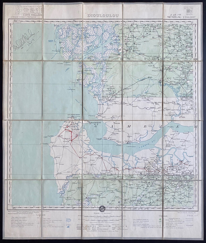
Map of Dioloulou Senegal 1924
Book Description
Map of Dioloulou. Prepared by the Service Geographique de l‘Afrique Francaise under the direction of Martonne, edited by Barrere and published by Andriveau Goujon, Paris 1924. A folding map on linen in 20 sections, size 72 by 61 cm. Scale 1:200,000. VG condition. With an intriguing signature, probably that of the original owner, to the cover and above the map. A very detailed map. With a key to features including gardens and “villages indigėnes” with huttes and pailottes. Colour. VG.
Author
Barrere
Date
1924
Binding
Folding map on linen
Publisher
Service Geographique de l‘Afrique Francaise and Andriveau Goujon
Condition
VG
Other books
If you liked the book you've just seen, you might be interested in other books from the same dealer below.
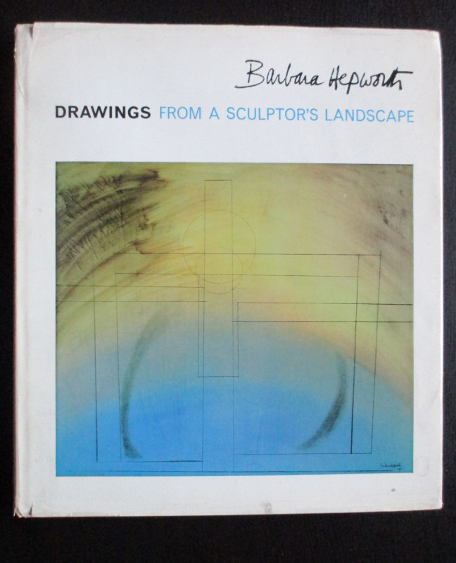
Barbara Hepworth Drawings from a Sculptor’s Landsc...
Hepworth
Cory Adams and Mackay
£45.00
Offered by Arthur Hook
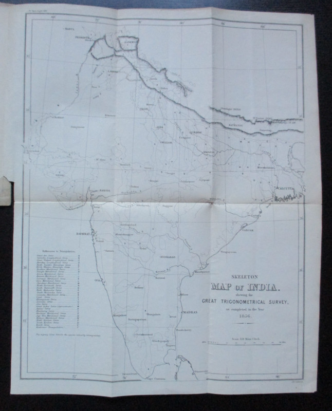
Geodesy; Especially Relating to the Great Trignome...
Strange
Royal United Institution
£45.00
Offered by Arthur Hook
Friends of the PBFA
For £10 get free entry to our fairs, updates from the PBFA and more.
Please email info@pbfa.org for more information