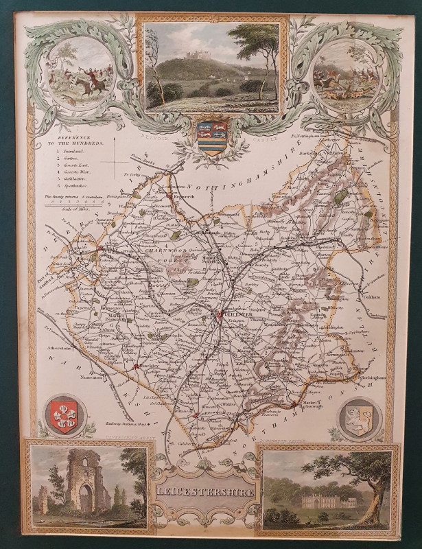
LEICESTERSHIRE
Book Description
Other books
If you liked the book you've just seen, you might be interested in other books from the same dealer below.
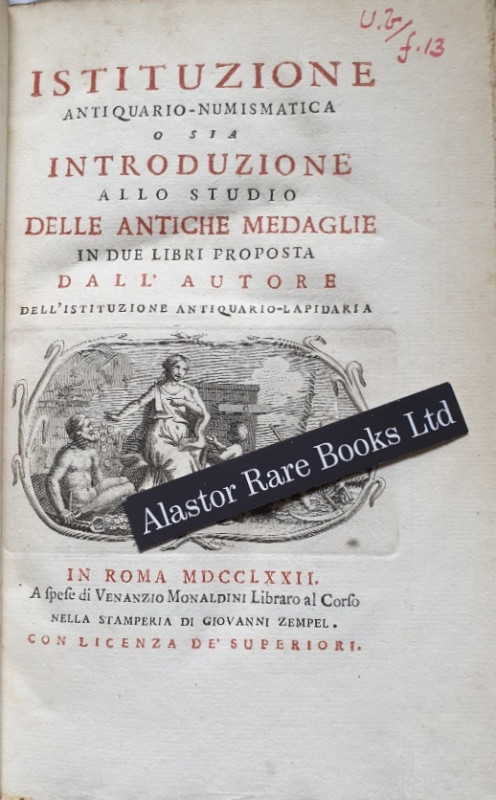
[NUMISMATICS]
Monaldini, Giuseppe Antonio. Istituzione Antiquario-Numismatica o sia Introduzione allo Studio delle Antiche Medaglie in due Libri Proposta dall Autore dell' Istituzione Antiquario-Lapidaria.
In Roma i.e. Rome: A Spese di Venanzio Monaldini Libraro al Corso Nella Stamperia Di Giovanni Zempel,
£120.00
Offered by Alastor Rare Books
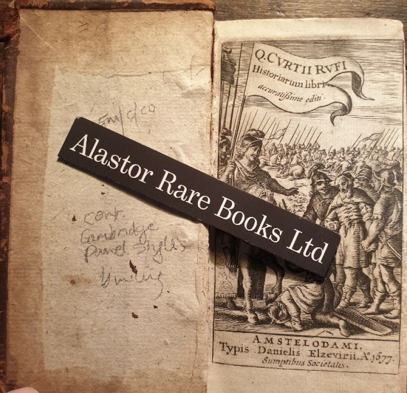
[A ROMAN HISTORY OF ALEXANDER THE GREAT IN A CONTE...
Rufius, Q.[uintus] Curtius. Historiarum Libri.
Amstelodami i.e. Amsterdam: Typis Danielis Elzevirii,
£100.00
Offered by Alastor Rare Books
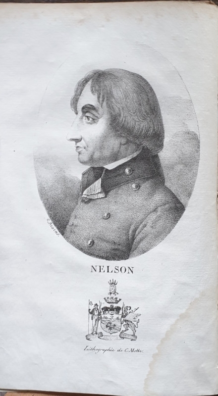
[A RARE FRENCH LIFE OF HORATIO NELSON]
Southey, Robert. Vie D'Horace Nelson.
Paris: Chez F.Scherff,
£75.00
Offered by Alastor Rare Books
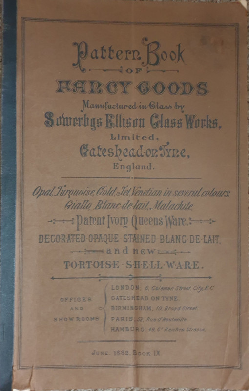
[A VICTORIAN GLASSMAKERS CATALOGUE].
Pattern Book of Fancy Goods Manufactured in Glass by Sowerbys Ellison Glass Works, Limited, Gateshead on Tyne, England.
Newcastle: B.Robinson & co.,
£70.00
Offered by Alastor Rare Books
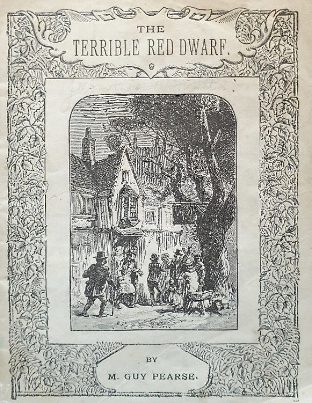
The Terrible Red Dwarf.
Pearce, M[ark] Guy.
[London]: Chas H. Kelly, 2, Castle St. City Road., E.C.
£25.00
Offered by Alastor Rare Books
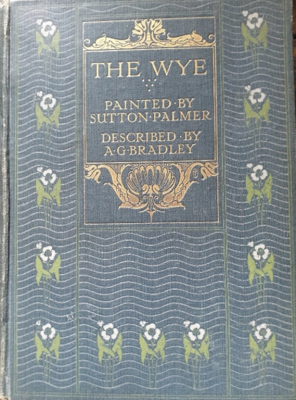
[A & C. BLACK COLOUR BOOK]. The Wye.
Bradley, A.G
London: Adam And Charles Black,
£30.00
Offered by Alastor Rare Books
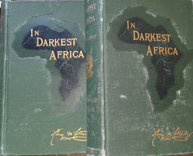
In Darkest Africa; or, The Quest, Rescue, and Retr...
Stanley, Henry M.
New York: Charles Scribner’s Sons,
£120.00
Offered by Alastor Rare Books
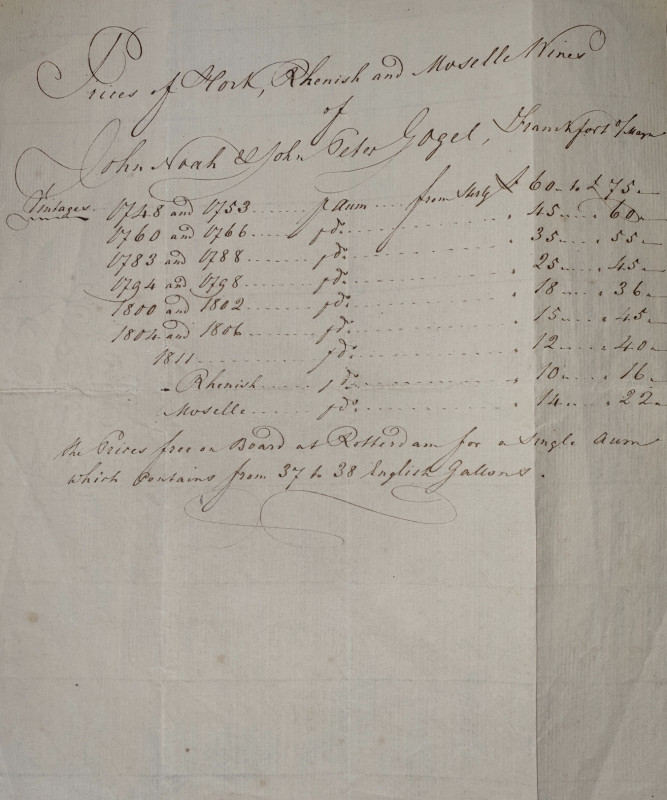
[AN MS PRICE LIST FOR VINTAGE 18TH C GERMAN WHITE...
[Noah & Gogel].
£30.00
Offered by Alastor Rare Books
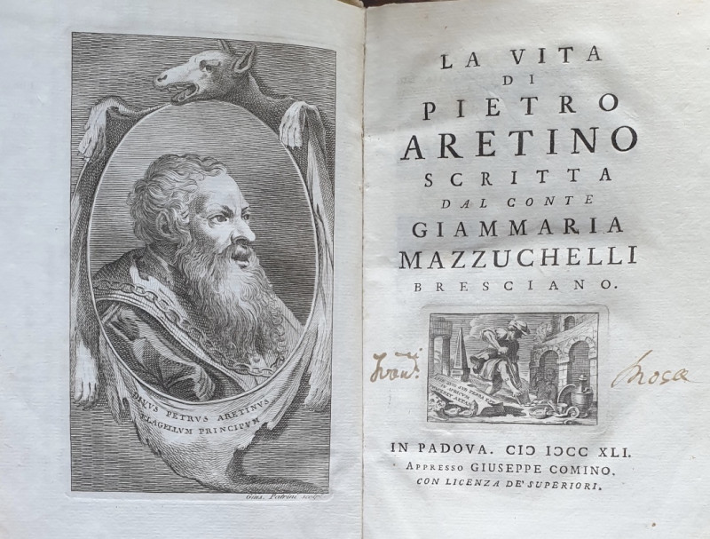
[AN EARLY LIFE & BIBLIOGRAPHY OF THE PUNISHING 16T...
Mazzuchelli, Conte Giammaria. La Vita Di Pietro Aretino.
In Padova i.e. Padua:Giuseppe Comino,
£220.00
Offered by Alastor Rare Books
Friends of the PBFA
Please email info@pbfa.org for more information