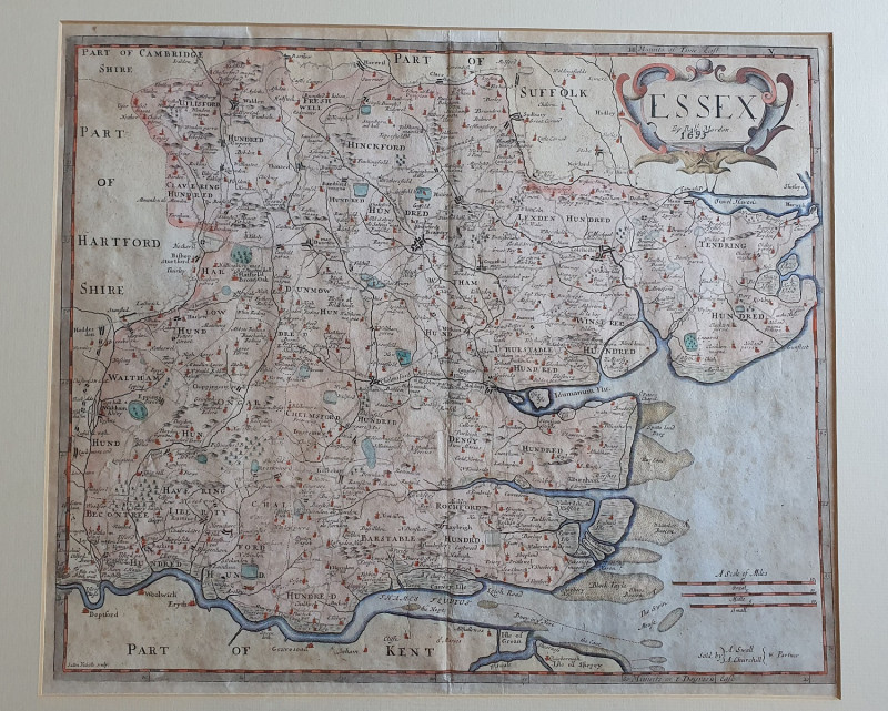
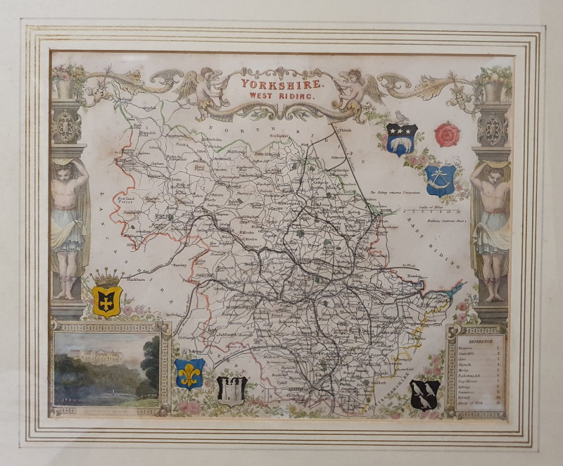
ESSEX
Book Description
Other books
If you liked the book you've just seen, you might be interested in other books from the same dealer below.
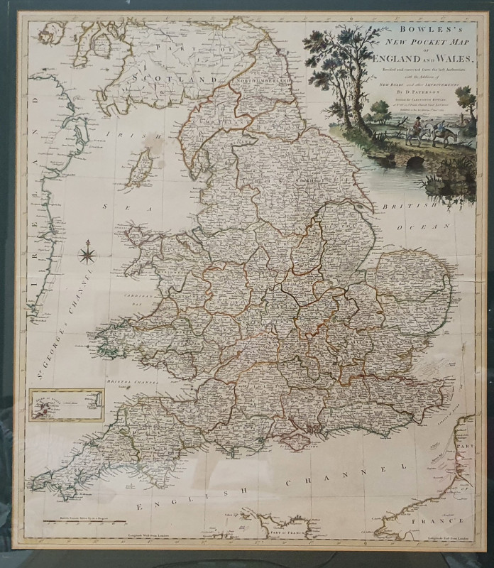
Bowles's New Pocket Map of England and Wales
Daniel Paterson, 1738-1825, cartographer
Carington Bowles
£375.00
Offered by Alastor Rare Books
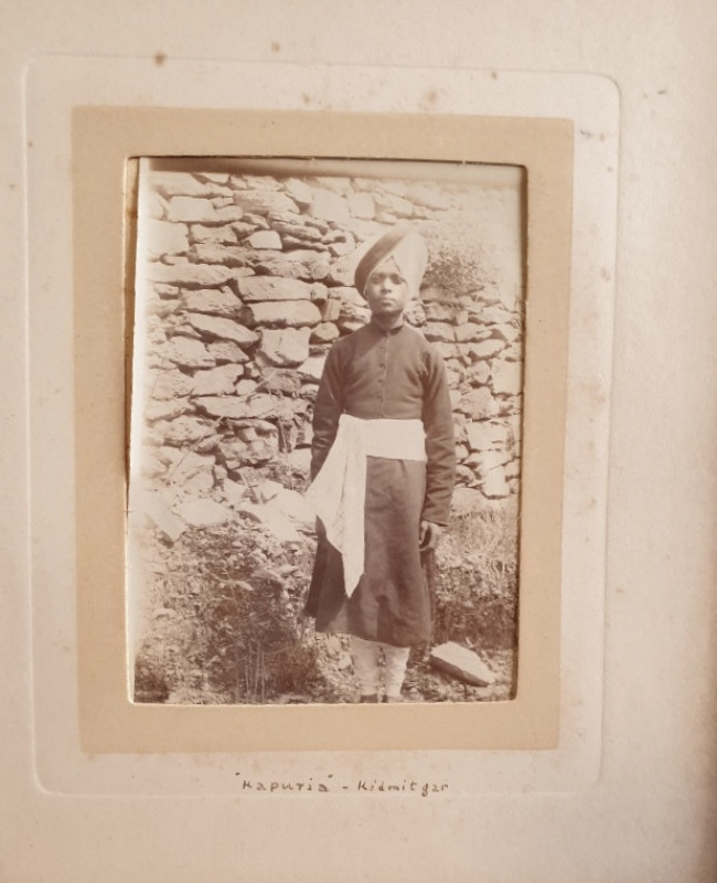
[Album Of Photographs titled “Photographs Taken At...
[Shimla, India]
£60.00
Offered by Alastor Rare Books
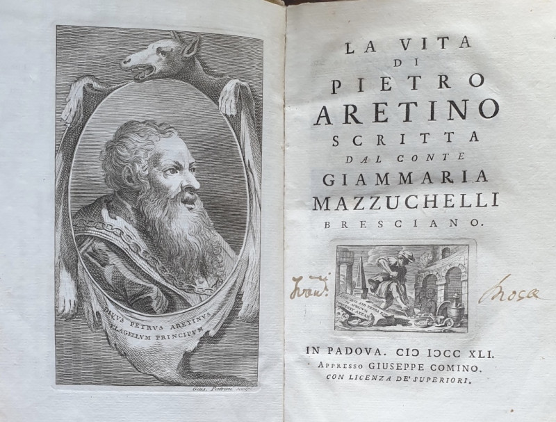
[AN EARLY LIFE & BIBLIOGRAPHY OF THE PUNISHING 16T...
Mazzuchelli, Conte Giammaria. La Vita Di Pietro Aretino.
In Padova i.e. Padua:Giuseppe Comino,
£220.00
Offered by Alastor Rare Books
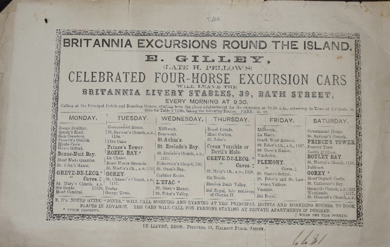
[CHANNEL ISLANDS ADVERTISING HANDBILL].
Britannia Excursions Round The Island. E.Gilley (Late H.Pellows), Celebrated Four-Horse Excursion Cars Will Leave The Britannia Livery Stables, 39, Bath Street, Every Morning At 9.30....
Jersey: Le Lievre, Bros., Printers, 13, Halkett Place,
£40.00
Offered by Alastor Rare Books
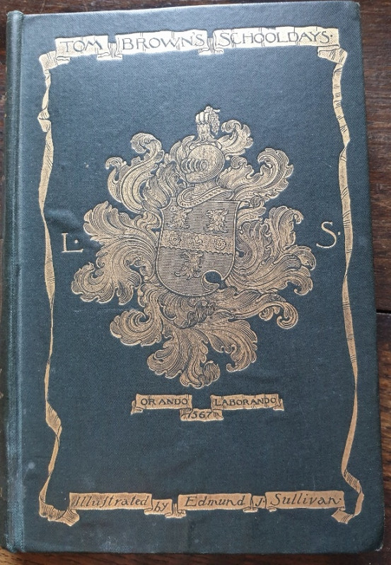
Tom Brown's School-Days.
Hughes, Thomas.
London: Macmillan And Co. Ltd.
£18.00
Offered by Alastor Rare Books
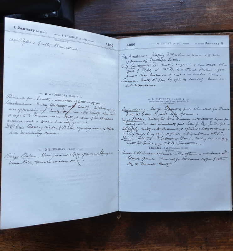
[Manuscript Journal].
[DIARIES FROM A SCOTTISH FAMILY - TWO BROTHERS]. Cathcart family, John E. & Robert. [Manuscript Journal].
£250.00
Offered by Alastor Rare Books
Friends of the PBFA
Please email info@pbfa.org for more information