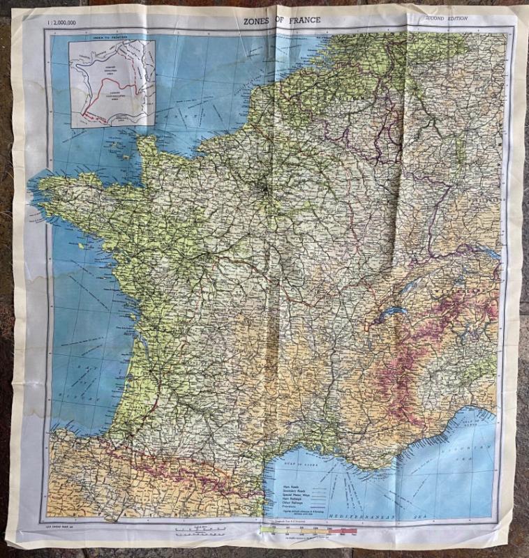
Escape Map: Zones of France 1944
Book Description
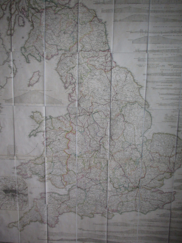
Escape Map: Zones of France. A map on silk size 61 by 57 cm. Coded (WEA) Mar 44. Published by the British Military. Scale 1;2,000,000. Colour. Heights shown by colour coding. A detailed map that includes parts of northern Spain, Belgium, Germany and Luxembourg. Scales in miles and kilometres. Includes an inset map thast shows the former occupied and non-occupied areas, coastal defence areas and German patrolled areas in the Pyrenees. Good to VG condition.
Author
British War Office & Air Ministry
Date
1944
Publisher
British War Office & Air Ministry
Condition
Good to VG
Other books
If you liked the book you've just seen, you might be interested in other books from the same dealer below.
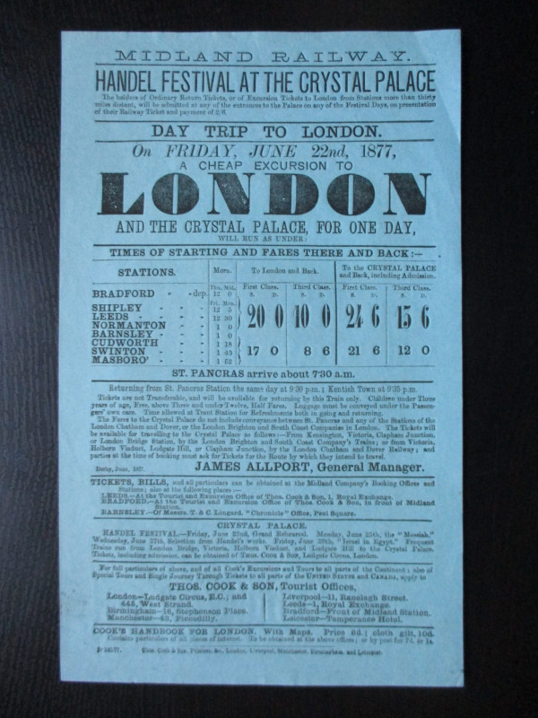
Midland Railway Poster or Handbill. Day Trips to t...
Midland Railway
Thomas Cook
£45.00
Offered by Arthur Hook
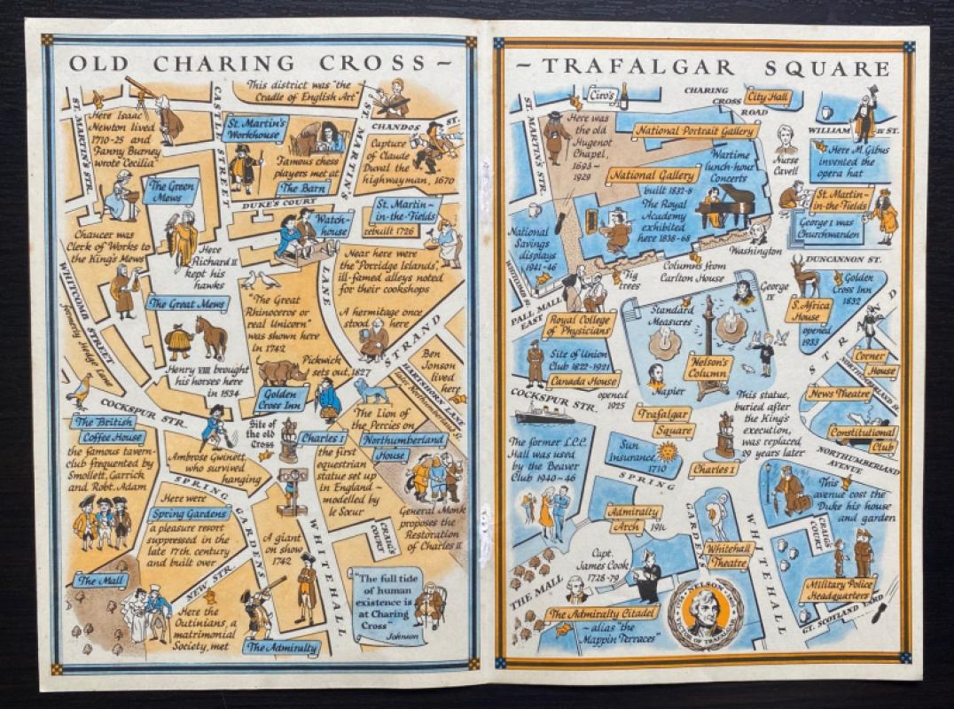
Two Maps of Charing Cross so displayed that the Ch...
Sayer
Strand Magazine
£35.00
Offered by Arthur Hook
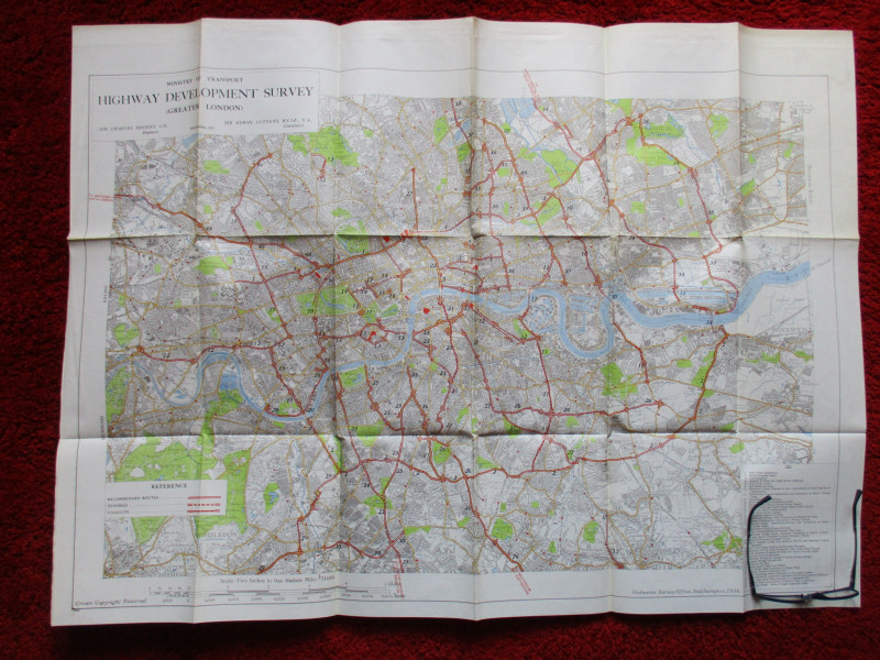
Ministry of Transport Highway Development Survey 1...
Bressey & Lutyens.
HMSO
£90.00
Offered by Arthur Hook
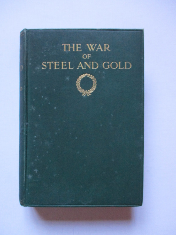
The War of Steel and Gold- Bertrand Russell Signed...
Brailsford
Bell
£450.00
Offered by Arthur Hook
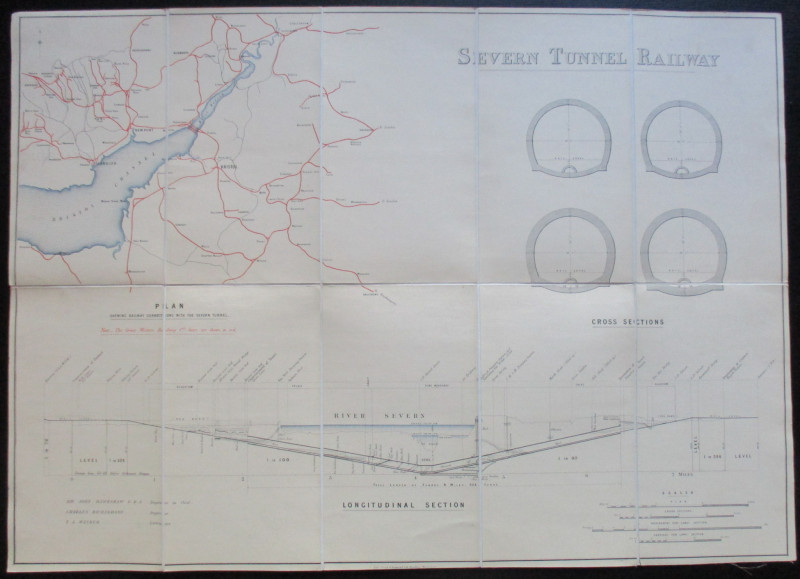
Map and Sections of the Severn Tunnel Railway 1875
Hawkshaw and Richardson
Unpublished
£250.00
Offered by Arthur Hook
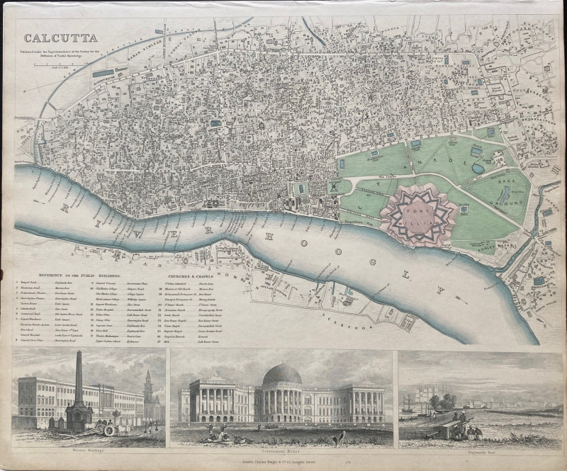
Maps, plans and views from Elphinstone’s Account o...
Elphinstone
Eyre and Spottiswoode
£525.00
Offered by Arthur Hook

A System of Geography , Popular and Scientific or...
Bell
Fullarton, Tait, Curry, Simpkin, Marshall & Orr
£395.00
Offered by Arthur Hook
Friends of the PBFA
For £10 get free entry to our fairs, updates from the PBFA and more.
Please email info@pbfa.org for more information