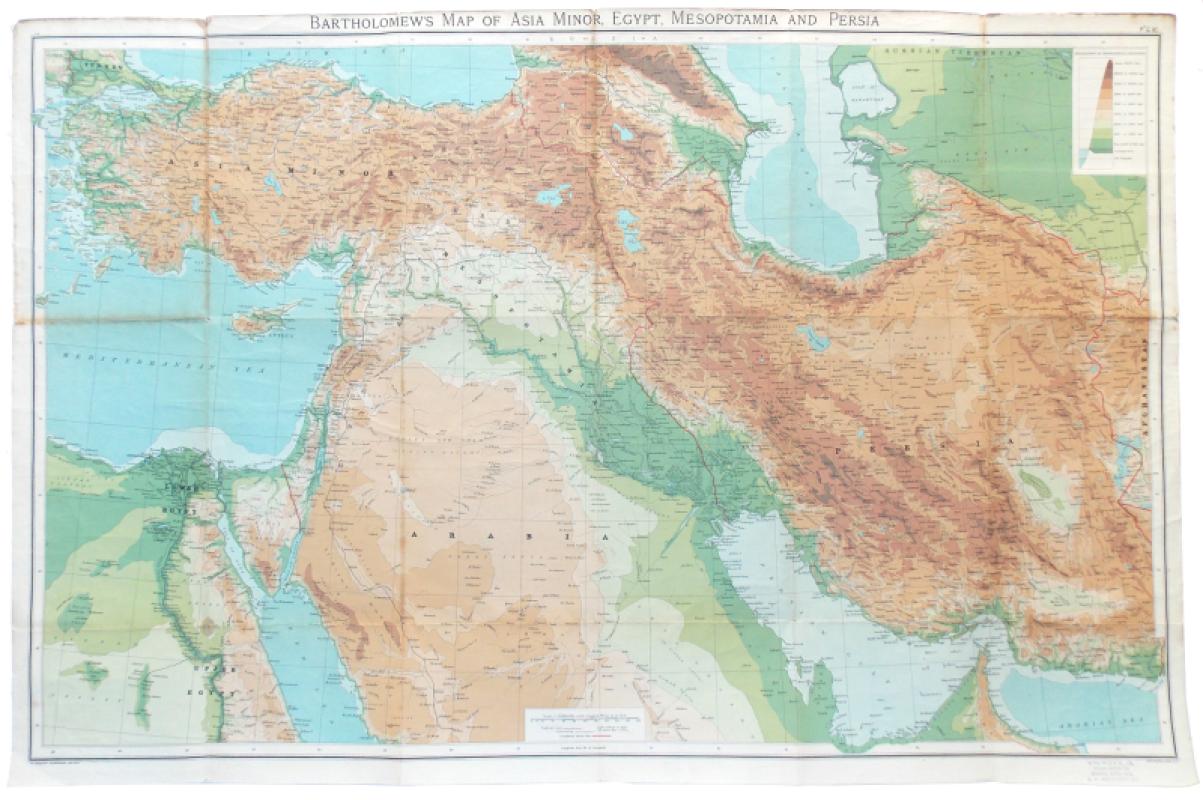
Bartholomew’s Map of Asia Minor, Egypt, Mesopotamia and Persia.
Book Description
Dealer Notes
Other books
If you liked the book you've just seen, you might be interested in other books from the same dealer below.
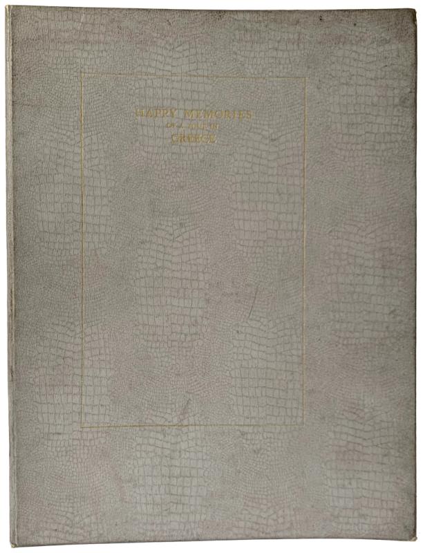
Happy Memories of a Tour in Greece taken by Dr. an...
Hudson, Dr. and Mrs.
Scarborough: Geo. A. Pindar & Son
£75.00
Offered by Meridian Rare Books
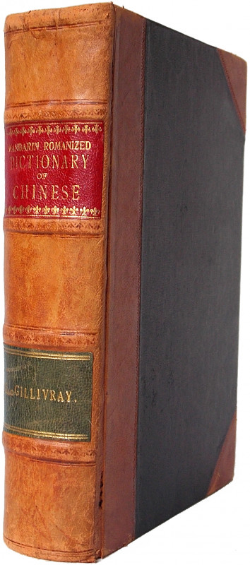
A Mandarin-Romanized Dictionary of Chinese Includi...
MacGillivray, D. T.
Shanghai: Printed at the Presbyterian Mission Press
£125.00
Offered by Meridian Rare Books
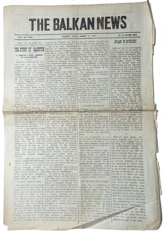
'The Story of Rasputin. A Sinister Figure removed...
[Russia. Rasputin.]
Printed and Published by the Proprietors of the "Independant" and the "Opinion" Jean Tsimiski Street [Thessaloniki, Greece].
£50.00
Offered by Meridian Rare Books
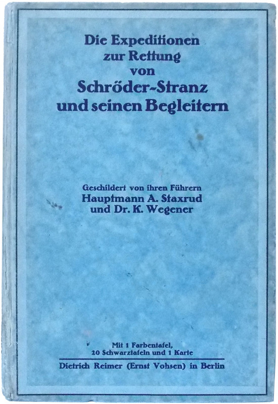
Die Expeditionen zur Rettung von Schröder-Stranz u...
[Schröder-Stranz Expedition, 1912-3.] Hauptmann A. Staxrud & Dr. K. Wegener.
Berlin: Dietrich Reimer (Ernst Vohsen)
£275.00
Offered by Meridian Rare Books
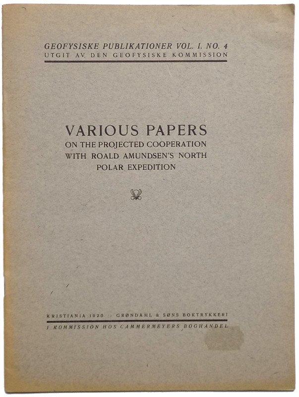
Various Papers on the Projected Cooperation with R...
[Amundsen, Roald.]
Kristiania [Oslo]: Grøndahl & Søns Boktrykkeri
£150.00
Offered by Meridian Rare Books
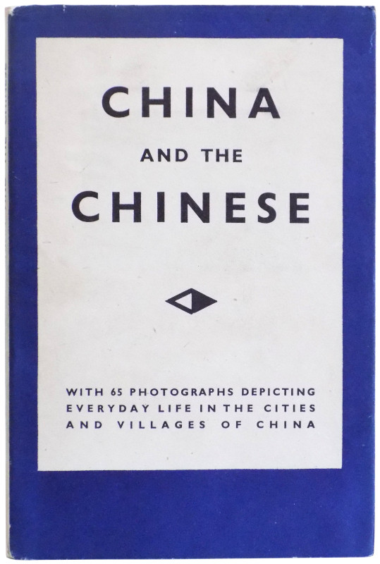
China and the Chinese. 63 Pictures.
Perckhammer, H. von.
London: George Routlegde & Sons, Ltd., n.d. [1931].
£150.00
Offered by Meridian Rare Books
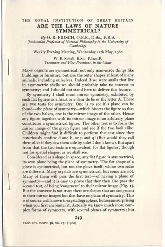
‘Are the Laws of Nature Symmetrical?’ [Offprint fr...
Frisch, O. R.
£45.00
Offered by Meridian Rare Books
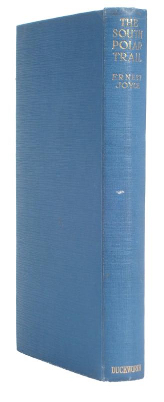
The South Polar Trail. The Log of the Trans-Antarc...
Joyce, Ernest E. Mills.
London: Duckworth
£950.00
Offered by Meridian Rare Books
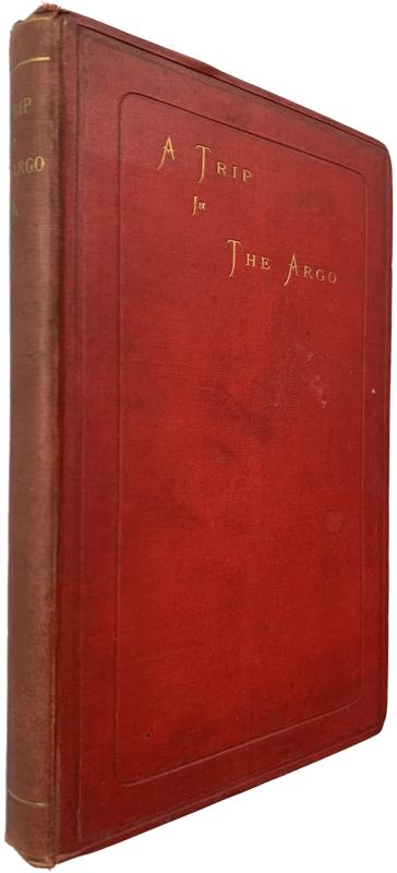
A Narrative of the Voyage of the Argonauts in 1880...
[Banks, William Mitchell.]
[Edinburgh:] Printed for the Argonauts [by Neill & Co.]
£475.00
Offered by Meridian Rare Books
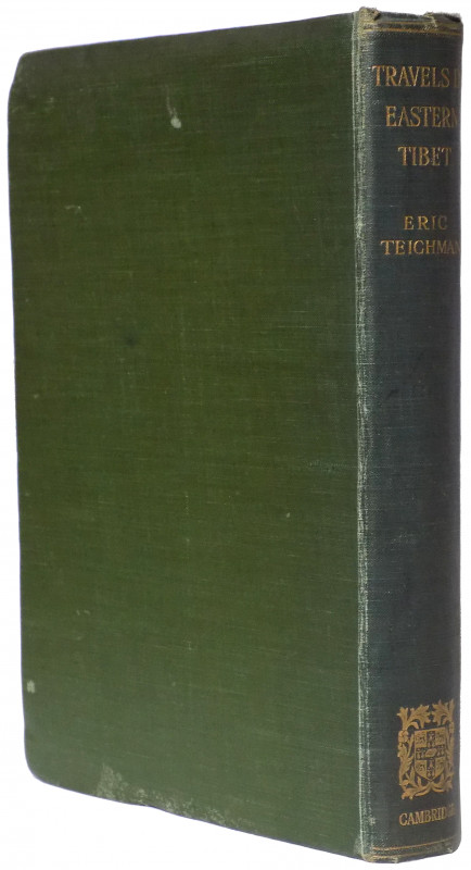
Travels of a Consular Officer in Eastern Tibet. To...
Teichman, Eric.
Cambridge at the University Press
£575.00
Offered by Meridian Rare Books
Friends of the PBFA
Please email info@pbfa.org for more information