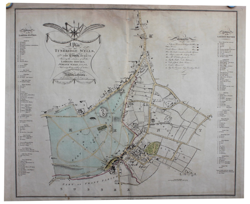
A Plan of Tunbridge Wells in the County of Kent, Showing the Situation of all the Lodging Houses, Publick Walks, Inns and every thing worthy of notice.
Book Description
Single sheet hand-coloured engraved map, 520 x 620 mm. Repair along the top border showing some slight discolouration, central fold.
A rare and attractive separately printed map which lists all the lodging houses of the town with key. Copac lists the British Library copy only.
Author
T.T. BARROW
Date
Tunbridge Wells: T.T. Barrow,
Publisher
Tunbridge Wells: T.T. Barrow,
Other books
If you liked the book you've just seen, you might be interested in other books from the same dealer below.
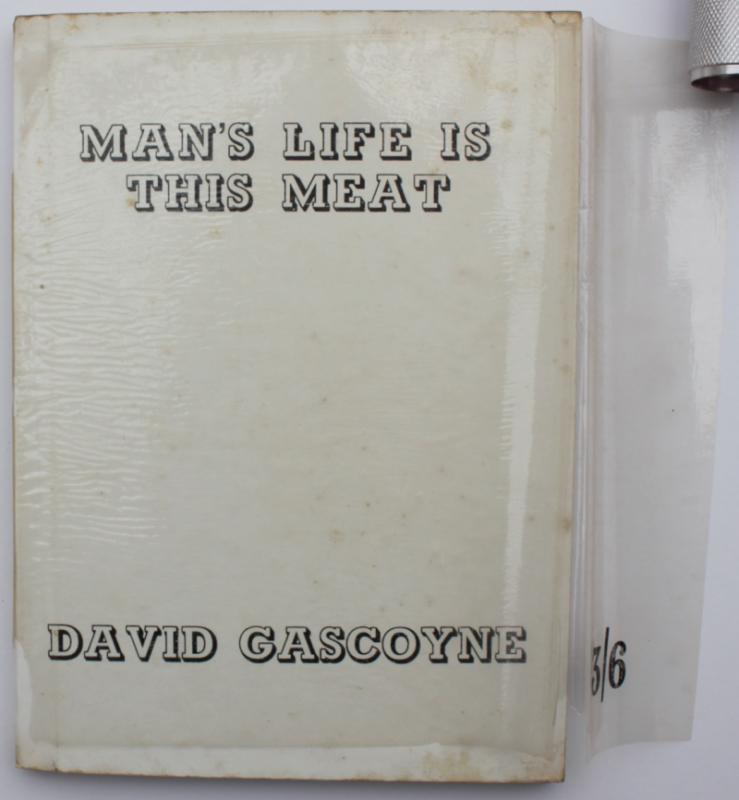
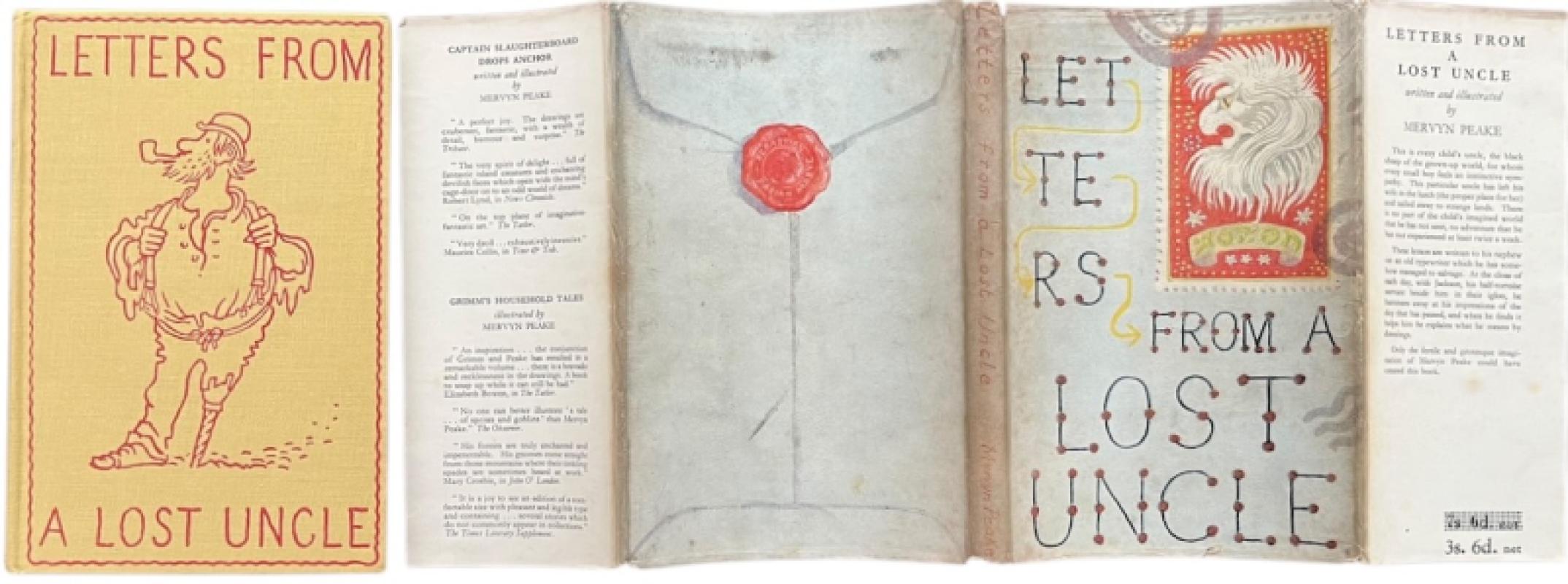
Man's Life is This Meat. In rare dust wrapper.
DAVID GASCOYNE
£750.00
Offered by Michael S Kemp Bookseller
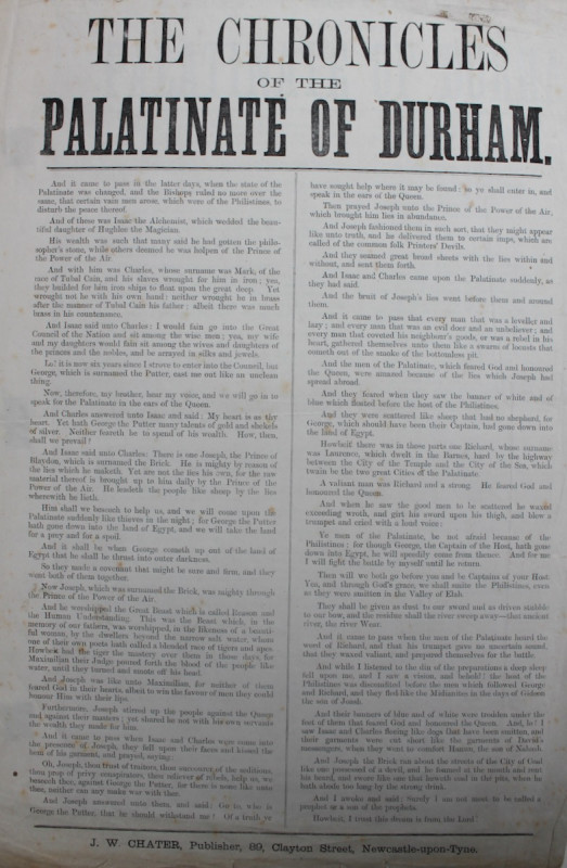
The Chronicles of the Palatinate of Durham.
COUNTY DURHAM
£75.00
Offered by Michael S Kemp Bookseller
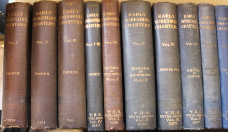
EARLY YORKSHIRE CHARTERS. COMPLETE SET 12 VOLUMES...
WILLIAM FARRAR & CHARLES TRAVIS CLAY
£650.00
Offered by Michael S Kemp Bookseller
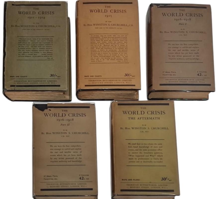
THE WORLD CRISIS VOLUMES 1 - 5. ALL 1ST EDITIONS I...
WINSTON CHURCHILL
£1750.00
Offered by Michael S Kemp Bookseller
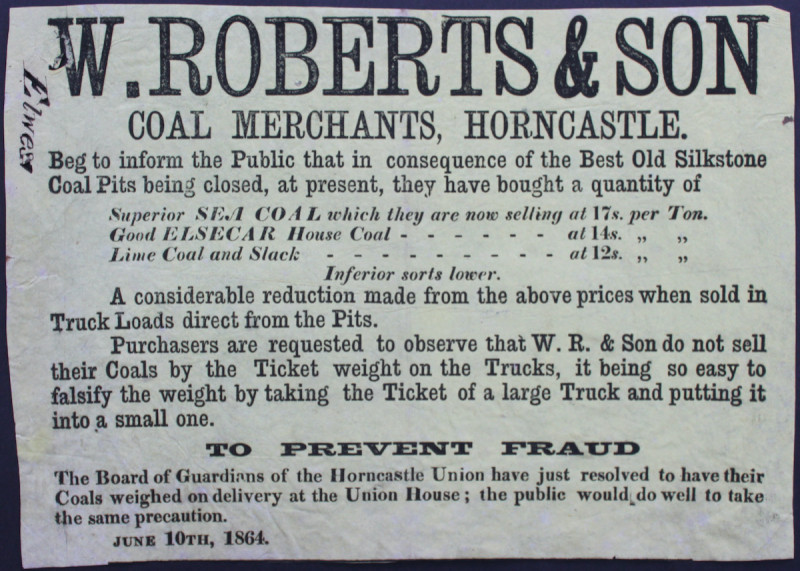
COAL MERCHANTS, HORNCASTLE, LINCOLNSHIRE
W. ROBERTS & SON
£75.00
Offered by Michael S Kemp Bookseller
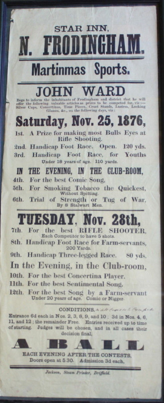
MARTINMAS SPORTS WARD, John Star Inn, Frodingham....
MARTINMAS SPORTS - EAST RIDING
£250.00
Offered by Michael S Kemp Bookseller
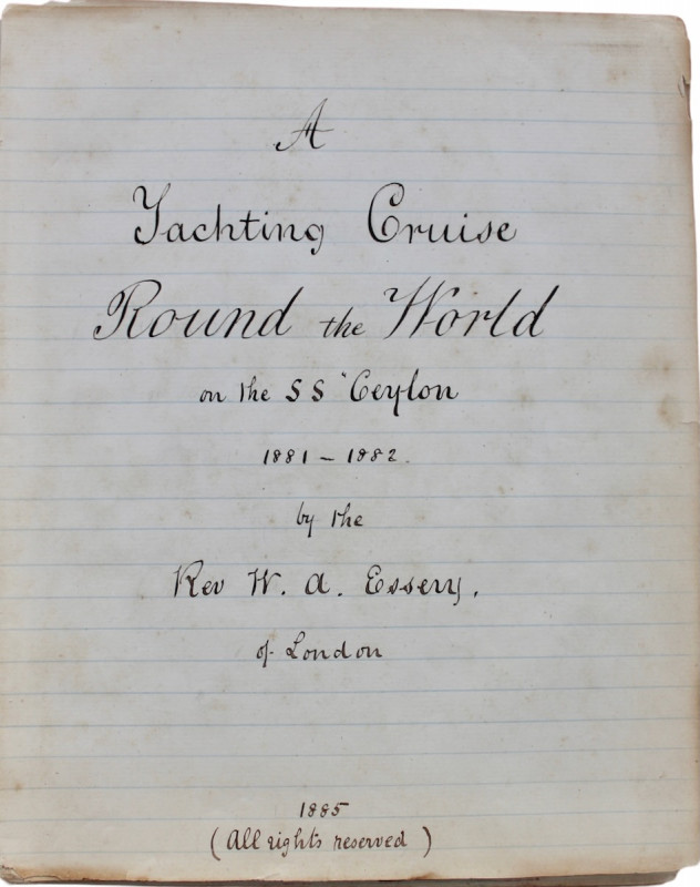
A Yachting Cruise Round the World on the SS Ceylon...
THE FIRST COMMERCIAL WORLD CRUISE.
Manuscript
£7500.00
Offered by Michael S Kemp Bookseller
Friends of the PBFA
For £10 get free entry to our fairs, updates from the PBFA and more.
Please email info@pbfa.org for more information