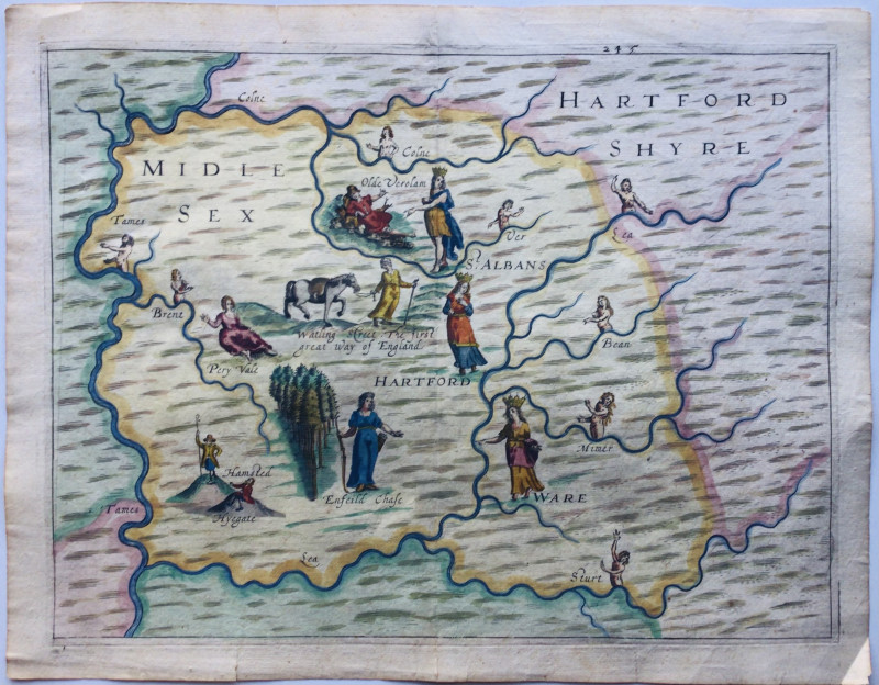
A map from the Poly-Olbion

Book Description
Other books
If you liked the book you've just seen, you might be interested in other books from the same dealer below.
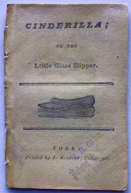
CINDERILLA, OR THE LITTLE GLASS SLIPPER
KENDREW OF YORK CHAPBOOK
£55.00
Offered by John Underwood Antiquarian Books
Specimens of the Ancient Sculpture and Painting,...
CARTER, John
£1750.00
Offered by John Underwood Antiquarian Books
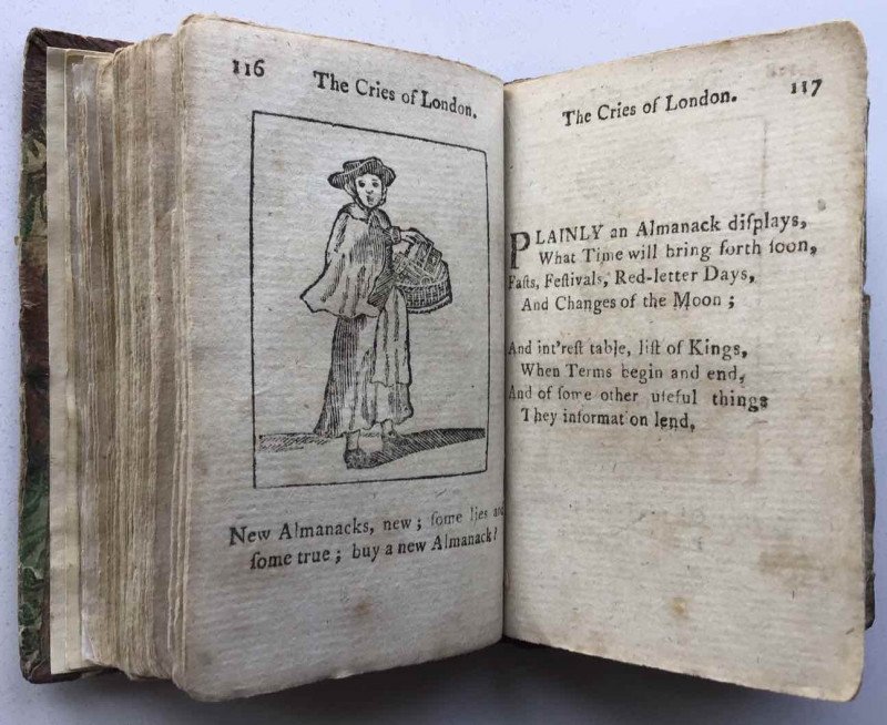
*SALE* The Cries Of London As They Are Daily Exhi...
Printed for E. Newbery
£950.00
Offered by John Underwood Antiquarian Books
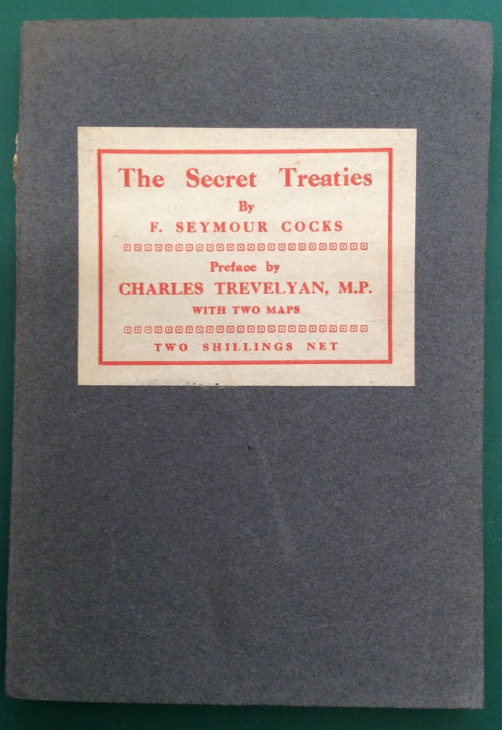
THE SECRET TREATIES
F.Seymour Cocks
Union of Democratic Control
£12.00
Offered by John Underwood Antiquarian Books
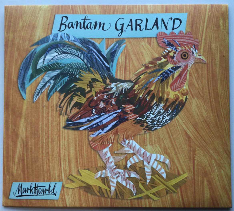
MARK HEARLD’S BANTAM GARLAND
Mark Hearld
Art Angels Publishing
£15.00
Offered by John Underwood Antiquarian Books
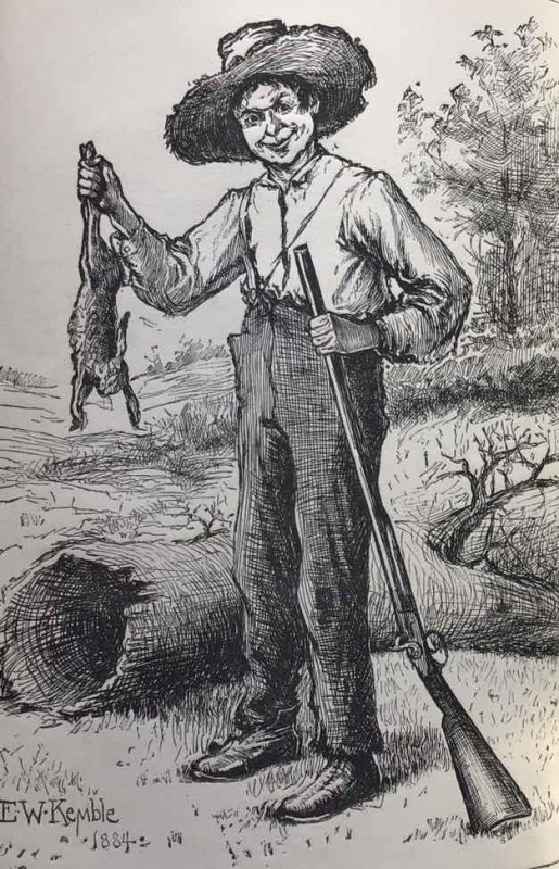
The Adventures of Huckleberry Finn
Mark Twain
Chatto & Windus
£80.00
Offered by John Underwood Antiquarian Books
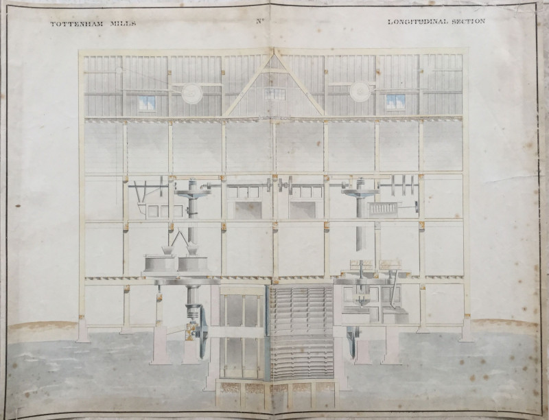
MANUSCRIPT PLAN OF TOTTENHAM MILLS CIRCA 1836
Anon
£450.00
Offered by John Underwood Antiquarian Books
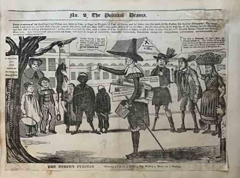
*SALE* Hanging a cat on a Monday for Killing a Mou...
Charles Jameson Grant
£295.00
Offered by John Underwood Antiquarian Books
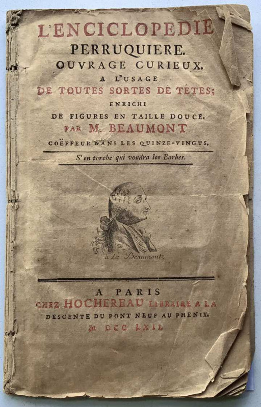
THE PERRUQUE IN PRE-REVOLUTIONARY FRANCE. “ S’EN T...
[BEAUMONT, M] Jean-Henri Marchand
£250.00
Offered by John Underwood Antiquarian Books
Friends of the PBFA
Please email info@pbfa.org for more information