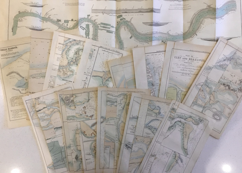
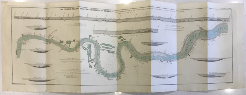
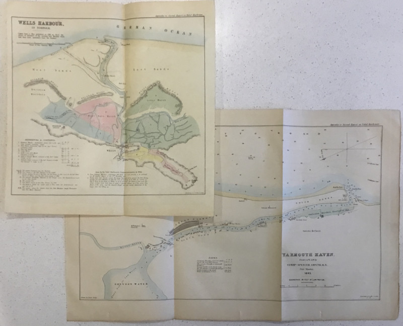
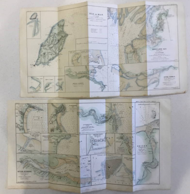
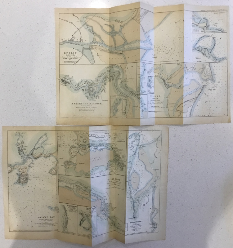
14 Tidal Harbour Commission charts


Book Description
Dealer Notes
Other books
If you liked the book you've just seen, you might be interested in other books from the same dealer below.
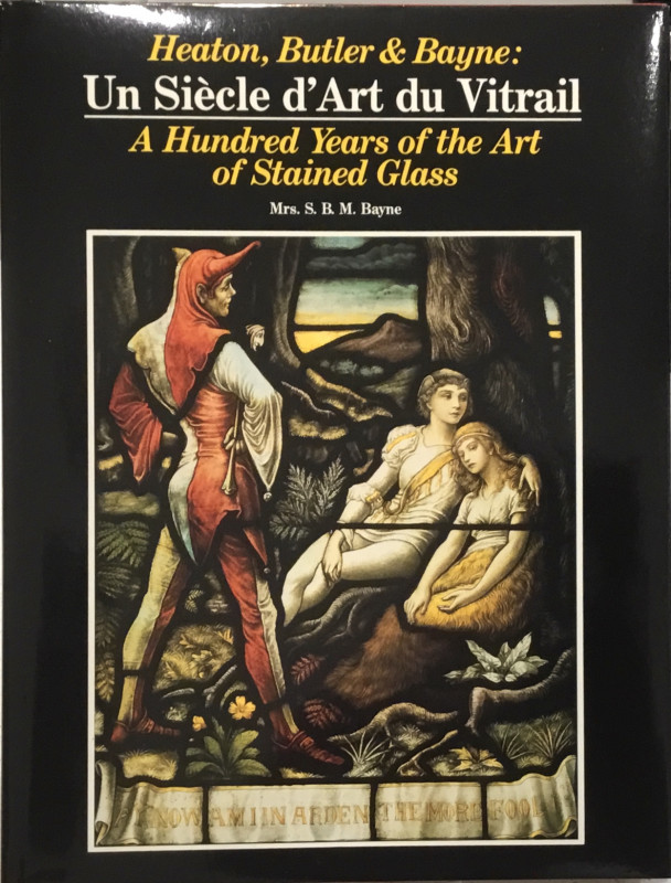
Heaton Butler & Bayne: Un Siècle d’Art du Vitrail...
Mrs. S.B.M. (Simone) Bayne
[Switzerland ?: the Author]; Imprimerie Marendaz Offset Couleurs
£35.00
Offered by Wilfrid de Freitas
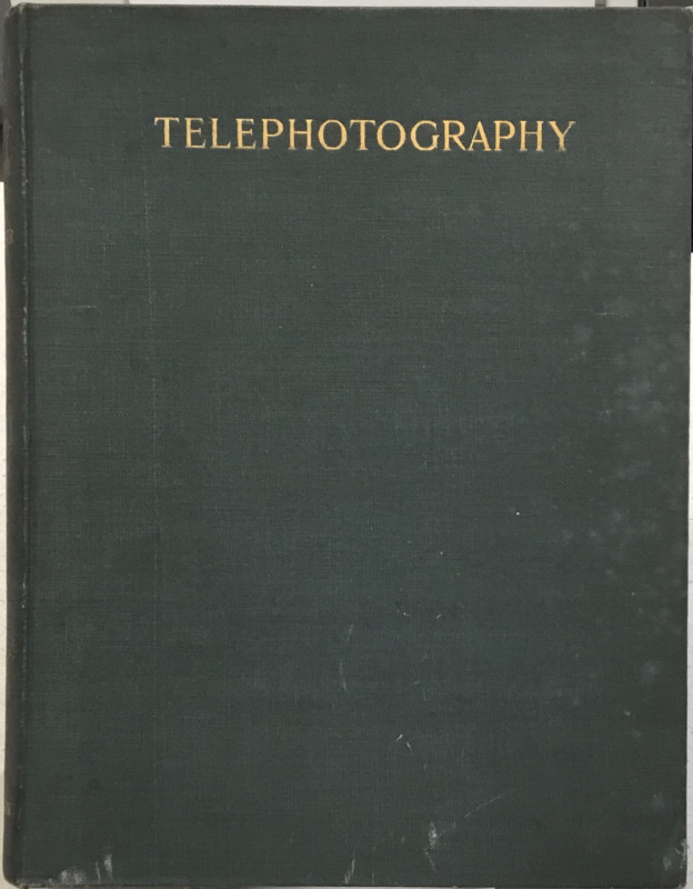
Telephotography: An Elementary Treatise on the Con...
Thomas R. Dallmeyer.
London: William Heinemann
£40.00
Offered by Wilfrid de Freitas
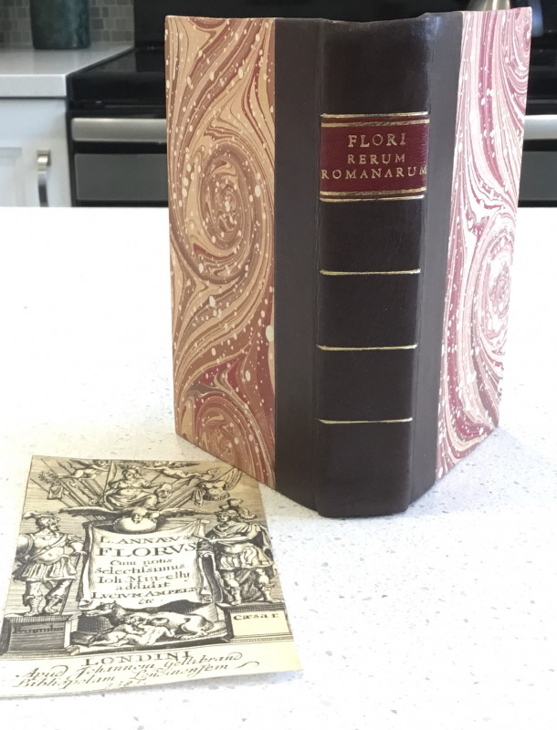
Rerum Romanarum
Lucius Annaeus Florus
Londini: Johannem Gellibrand
£160.00
Offered by Wilfrid de Freitas
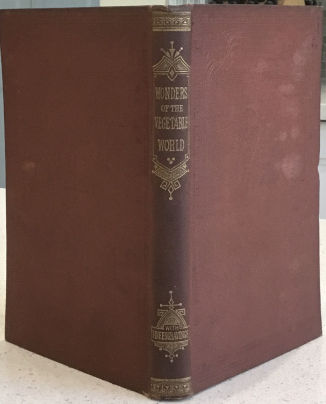
Wonders of the Vegetable World
[W.H. Davenport Adams]
London: T. Nelson and Sons
£42.00
Offered by Wilfrid de Freitas
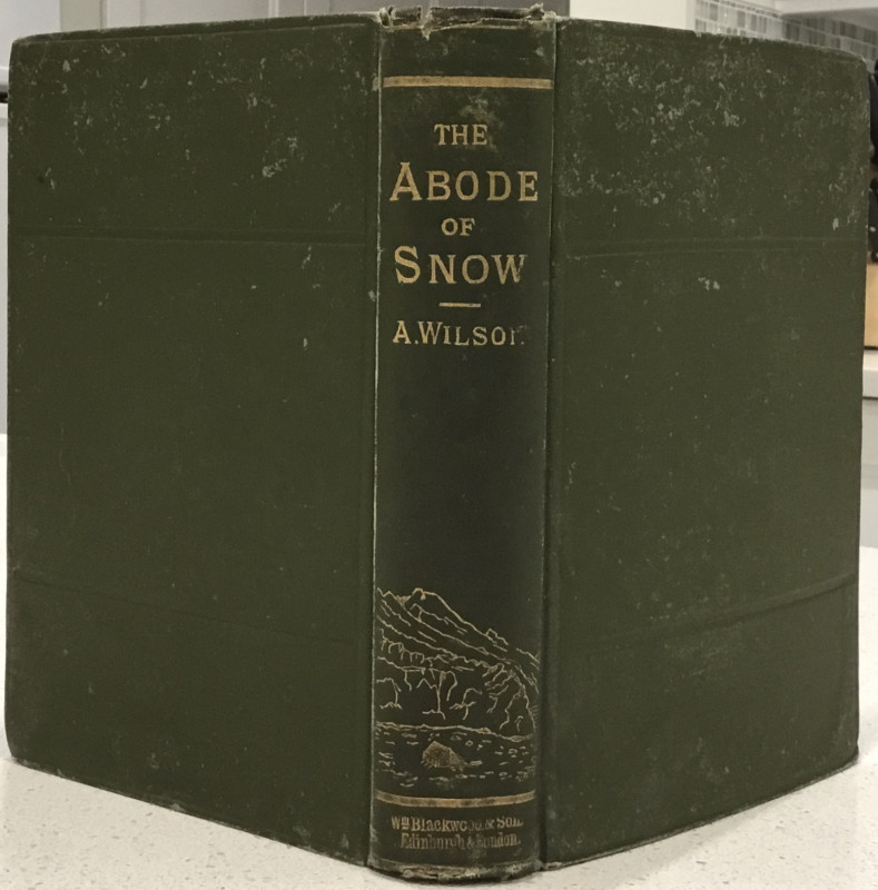
The Abode of Snow ...
Andrew Wilson
Edinburgh and London: William Blackwood and Sons
£95.00
Offered by Wilfrid de Freitas
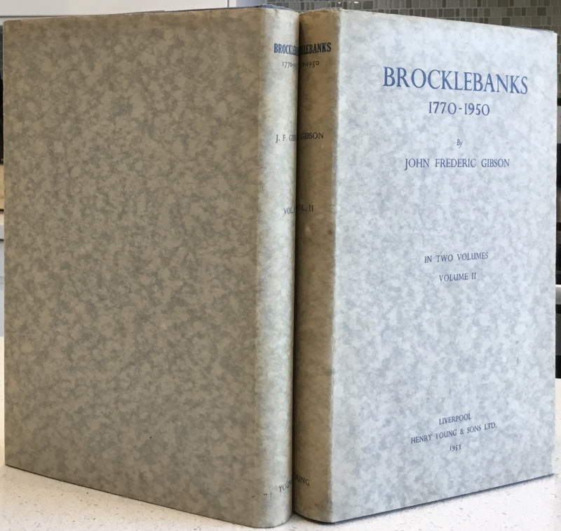
Brocklebanks: 1770-1950
John Frederic Gibson
Liverpool: Henry Young & Sons
£45.00
Offered by Wilfrid de Freitas
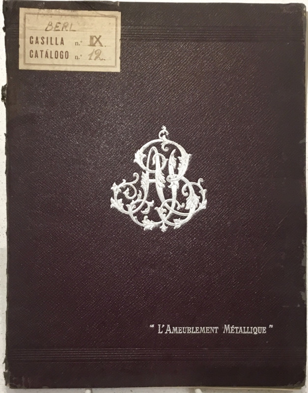
[French Decorative metal bedstead catalogue] "L'Am...
A. Berl
Paris: Établissements A. Berl
£85.00
Offered by Wilfrid de Freitas
Report on the Dominion Government Expedition to Hu...
A. P. Low
Ottawa: Government Printing Office
£65.00
Offered by Wilfrid de Freitas
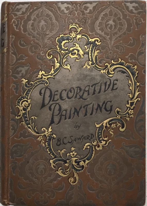
Decorative Painting: A Practical Handbook ...
Blanche C. Saward
London: Upcott Gill & New York: Charles Scribner's Sons
£35.00
Offered by Wilfrid de Freitas
Friends of the PBFA
Please email info@pbfa.org for more information