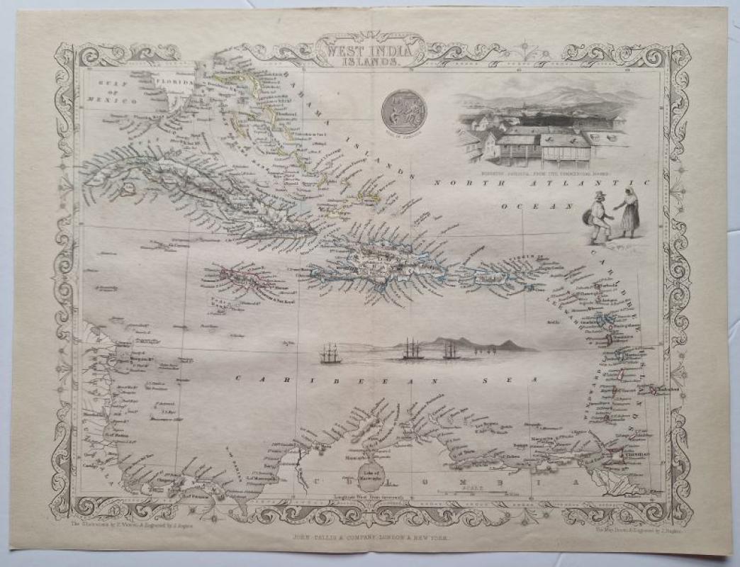
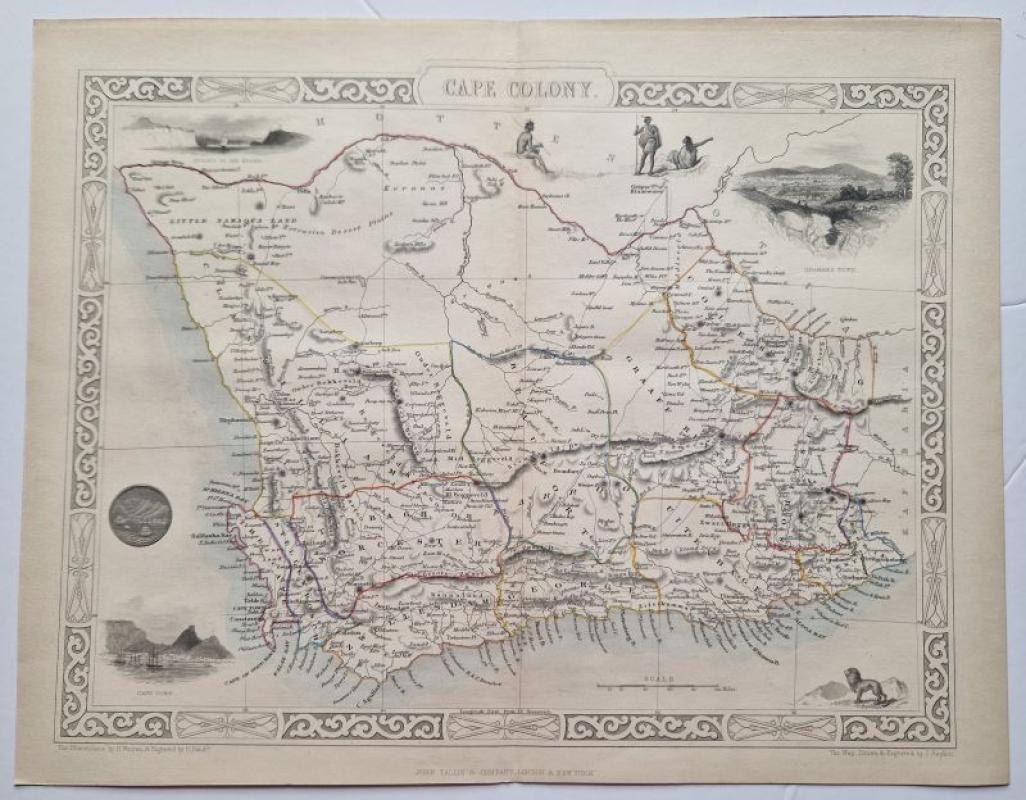
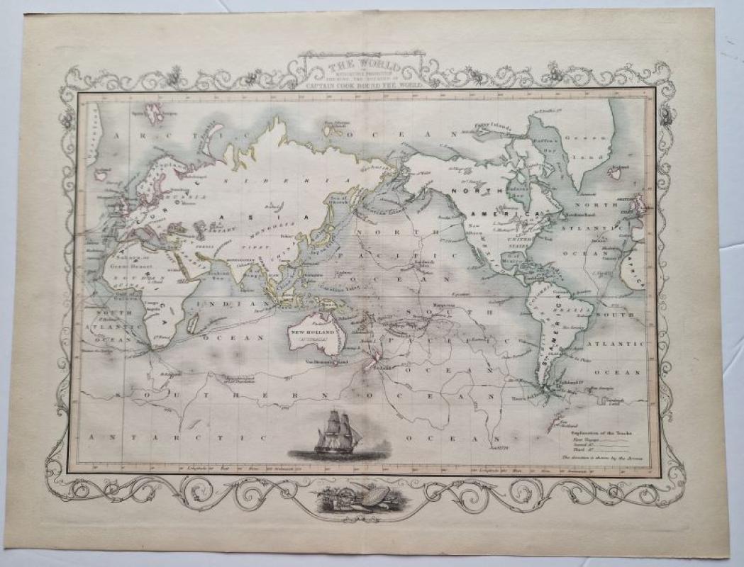
The World on Mercator's Projection
Book Description
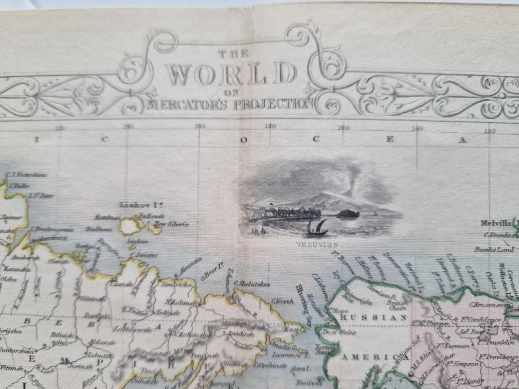
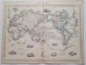
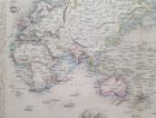
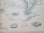
original colour outlined steel engraved map with red wash colour. page size 27,5 x 35,5 cm. Centrefold as issued. from 'The Illustrated Atlas...'
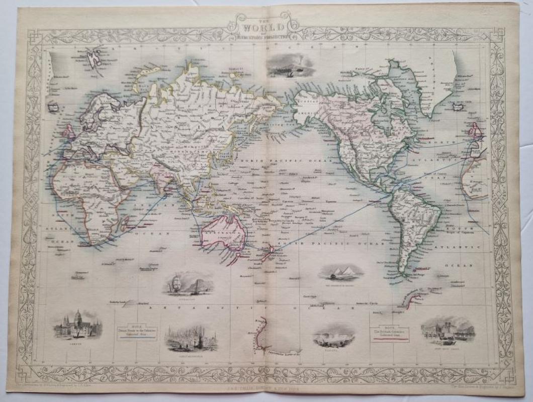
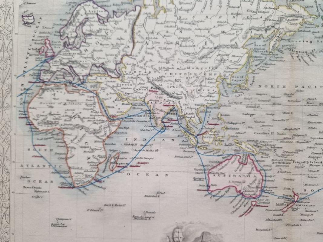
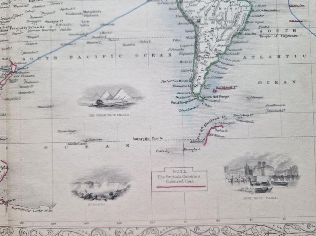
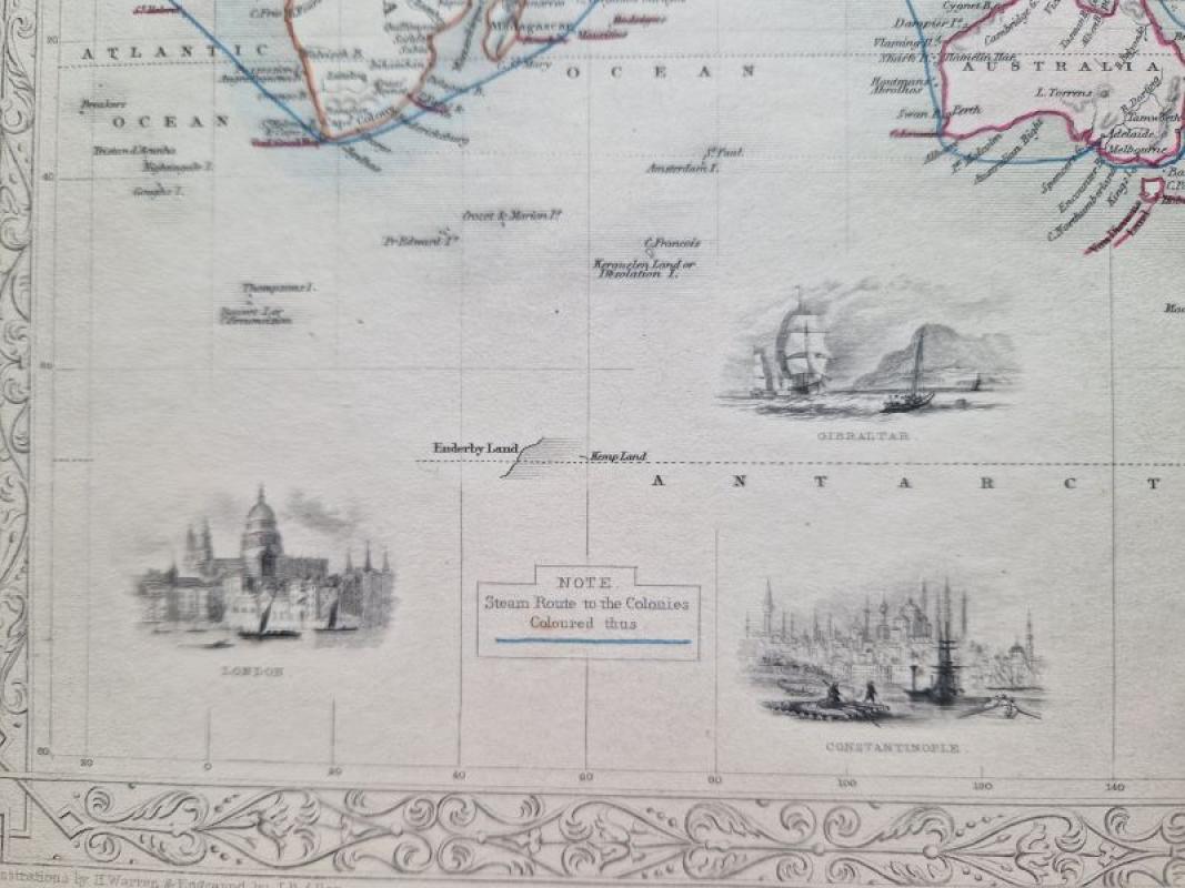
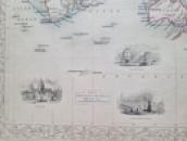
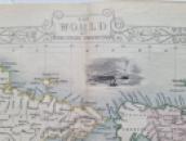
The map shows the World on Mercator's Projection, and is surrounded by a very decorative border. Some vignettes within the image, depicting indigenous animals, various costumes and sites. NB: British Possessions are coloured in pink wash colour! Steam route to the Colonies is coloured in as a blue line.
Author
Tallis, John
Date
c1851
Publisher
R.M.Martin
Illustrator
J.Rapkin
Condition
excellent
Pages
1
Other books
If you liked the book you've just seen, you might be interested in other books from the same dealer below.
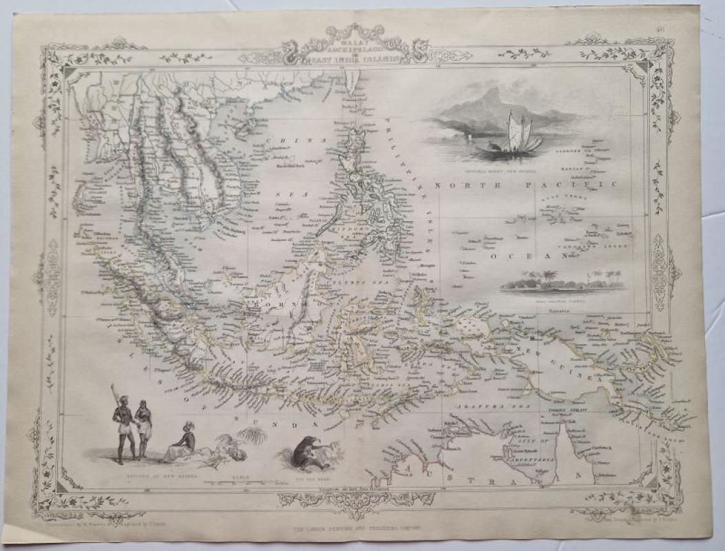
Malay Archipelago or East India Islands
Tallis, John
R.M.Martin
£120.00
Offered by Angelika C J Friebe Ltd
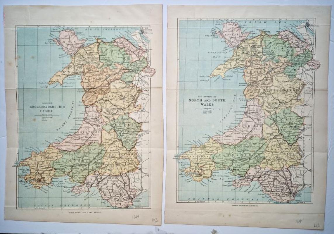
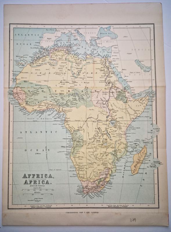
Siroedd Gogledd a Deheudir Cymru together with The...
Gee, Thomas
Thomas Gee
£50.00
Offered by Angelika C J Friebe Ltd
The World on Mercator's Projection Shewing the Voy...
Tallis, John
R.M.Martin
£125.00
Offered by Angelika C J Friebe Ltd
Friends of the PBFA
For £10 get free entry to our fairs, updates from the PBFA and more.
Please email info@pbfa.org for more information