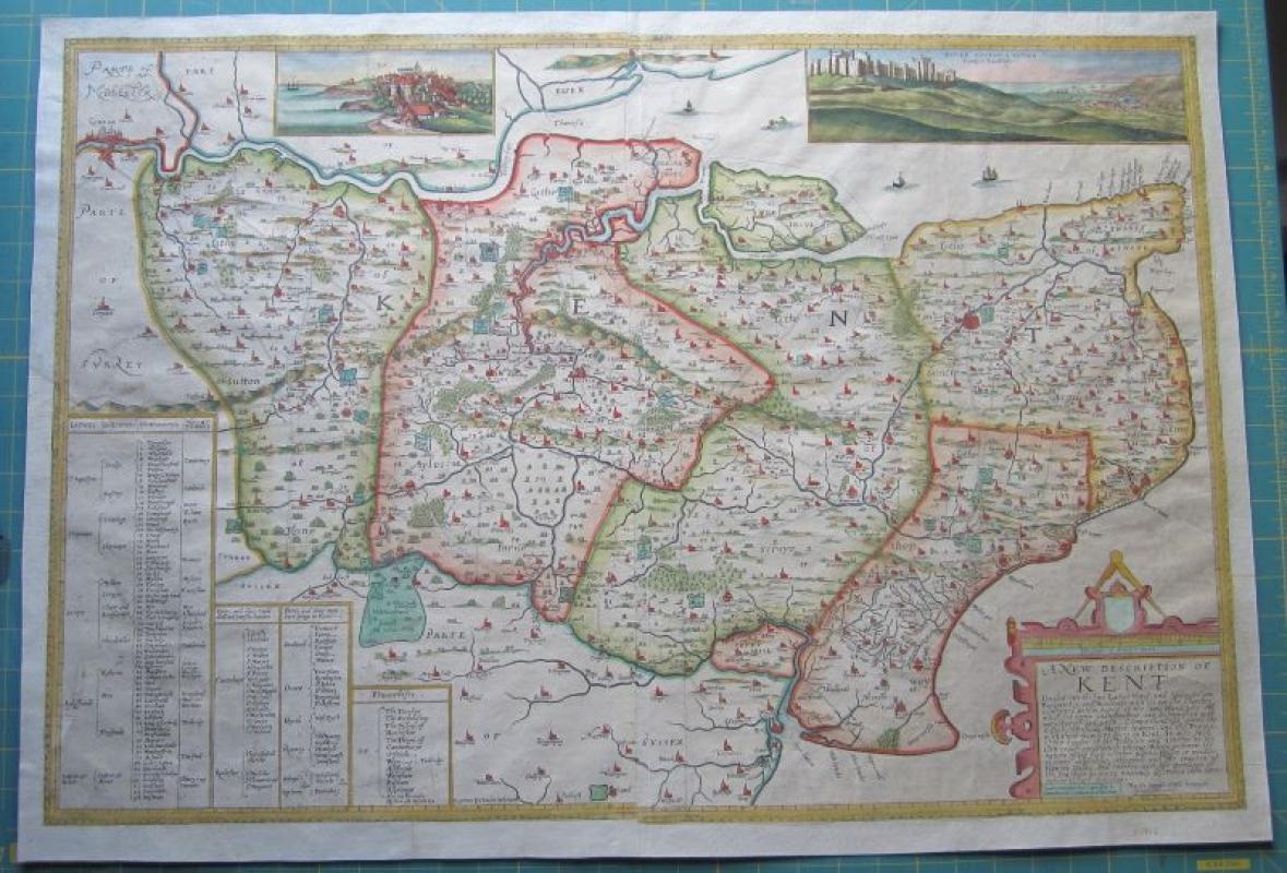
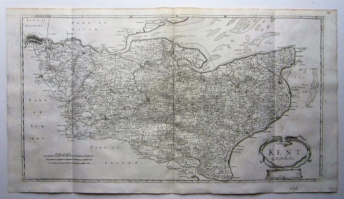
A New description of Kent


Book Description
copper engraved map with modern hand colouring; image size 52 x 77 cm.-
by Philip Symonson, published by Robert Sayer (c.1745-1751), London, c1775.-
A very beautiful and detailed map of Kent by Symonson. The early state engraved by Charles Whitwell was re-issued by Peter Stent in 1659 with views of Dover Castle & Towne(Hollar imprint), and Rye (van Dyck imprint)added by W.Hollar. The map has imprints of Whitwell as well as Robert Sayer at the bottom of the map. According to R.A.Burgess (Printed Maps of Kent) 4.VIII ' Sayer & Bennett offered the map for sale in their catalogue c1775 no copy known with their joint Pi.'- Large cartouche with descriptive text and a legend. - Despite it's heavily restoration, this map is quite rare due to the Sayer imprint and the various changes made to the cartouche.
Dealer Notes
Symonson was an English surveyor, cartographer and mayor of Rochester.
#2472
#2472
Author
Philip Symonson (fl.1577-1598)
Date
c1775.
Publisher
Robert Sayer (c.1745-1751), London.
Condition
2 sheets joined; several folds, some as issued; false margins all around; some areas with paper loss manuscripted in; some holes in cross folds; o/w g cond.
Pages
1
Other books
If you liked the book you've just seen, you might be interested in other books from the same dealer below.
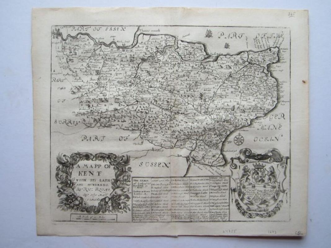
A Mapp of Kent with its Laths and Hundreds...
Blome, Richard (1635-1705)
London
£225.00
Offered by Angelika C J Friebe Ltd
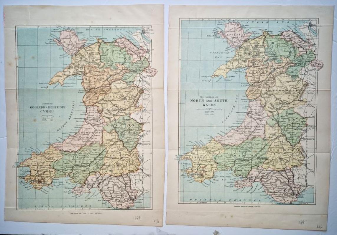
Siroedd Gogledd a Deheudir Cymru together with The...
Gee, Thomas
Thomas Gee
£50.00
Offered by Angelika C J Friebe Ltd
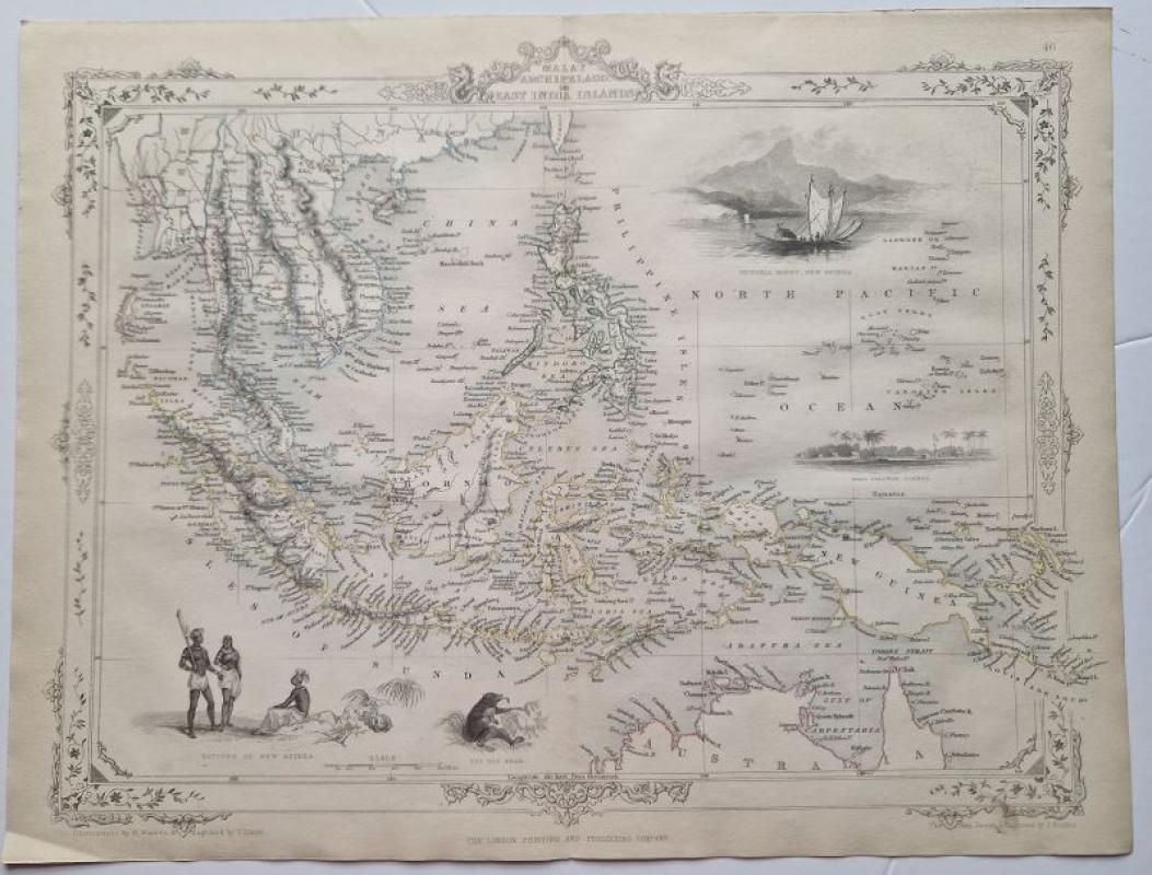
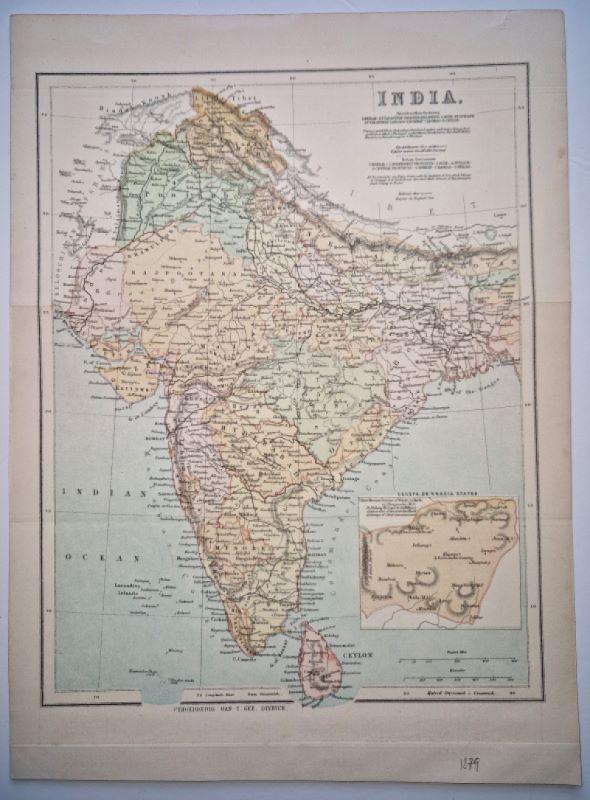
Malay Archipelago or East India Islands
Tallis, John
R.M.Martin
£120.00
Offered by Angelika C J Friebe Ltd

Friends of the PBFA
For £10 get free entry to our fairs, updates from the PBFA and more.
Please email info@pbfa.org for more information