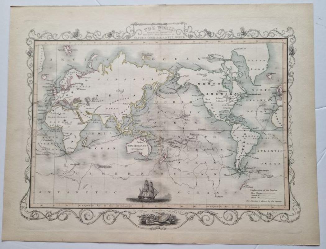
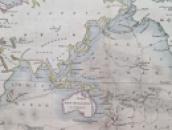
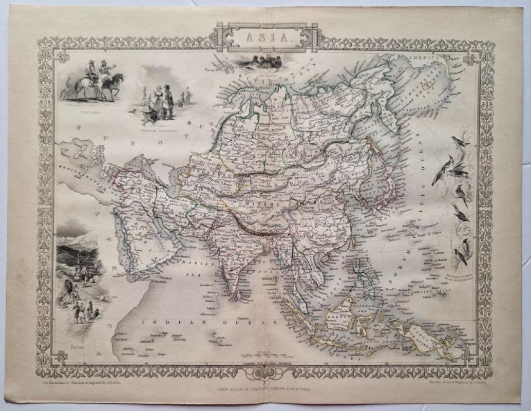
The World on Mercator's Projection Shewing the Voyages of Captain Cook Round the World

Book Description
original colour outlined steel engraved map. page size 27,5 x 35,5 cm. Centrefold as issued. from 'The Illustrated Atlas...'
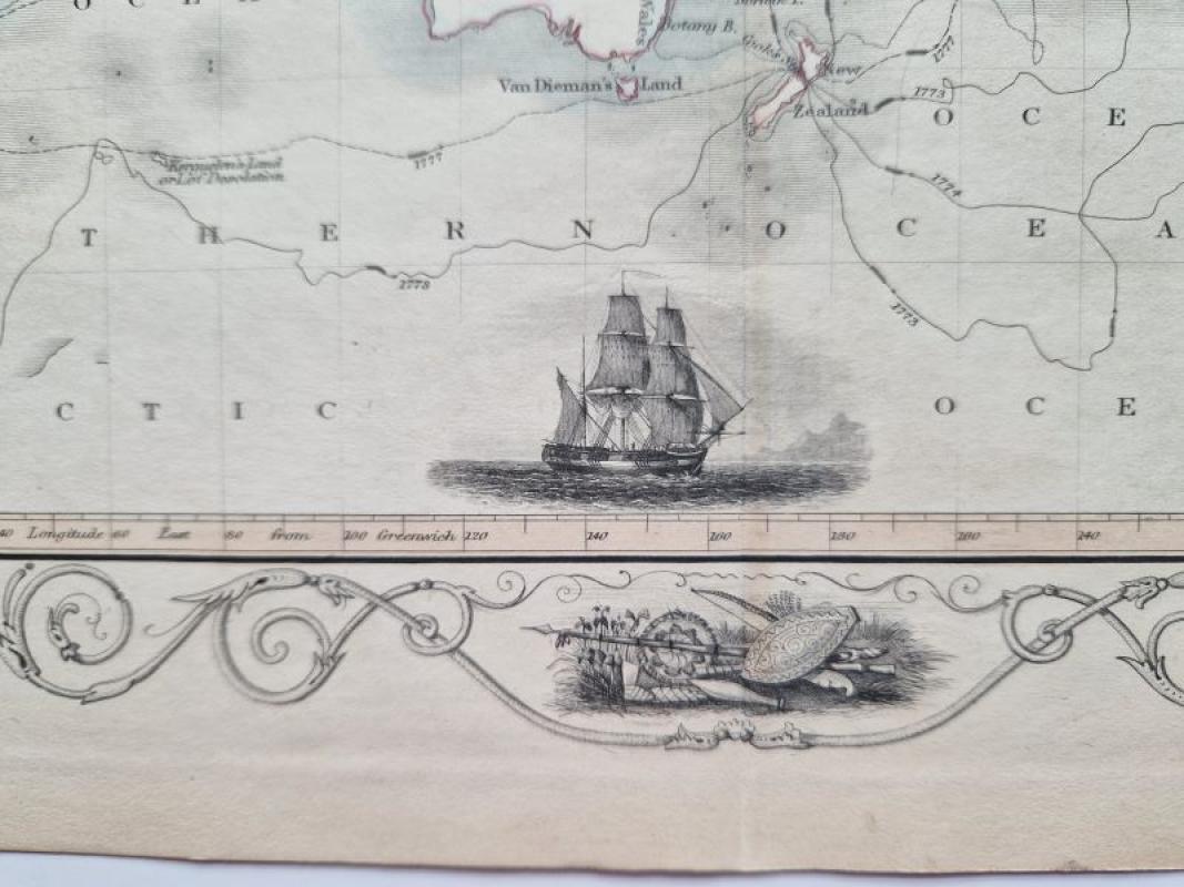
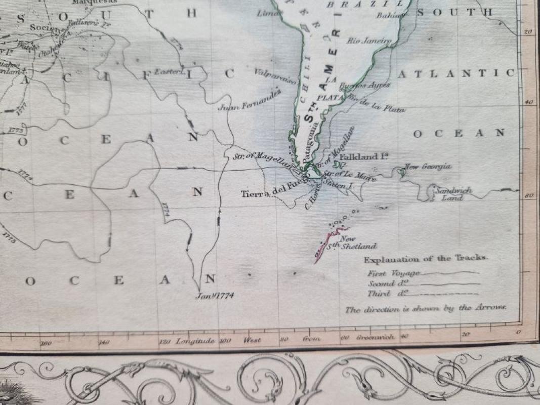
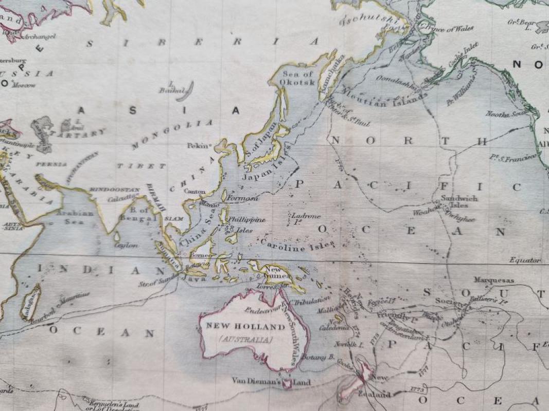
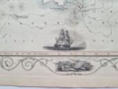
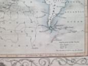
The map shows the World on Mercator's Projection with the outline of Capt. Cook's routes on his three voyages; the map is surrounded by a decorative border and a small depiction of his ship in the lower part of the map.
Author
Tallis, John
Date
c1851
Publisher
R.M.Martin
Illustrator
J.Rapkin
Condition
excellent
Pages
1
Other books
If you liked the book you've just seen, you might be interested in other books from the same dealer below.
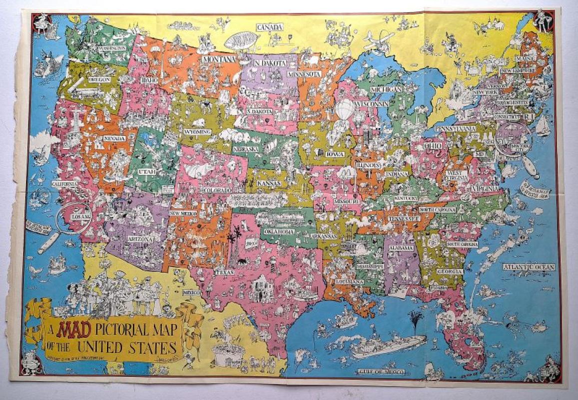
A MAD Pictorial of the United States
Domenech, Sergio Aragones aka Aragones
E.C. Publications Inc.
£250.00
Offered by Angelika C J Friebe Ltd


“Geographical Guide to a Man's Heart with Obstacle...
Lowrey, Jo
McCall's Magazine
£250.00
Offered by Angelika C J Friebe Ltd
The World on Mercator's Projection Shewing the Voy...
Tallis, John
R.M.Martin
£125.00
Offered by Angelika C J Friebe Ltd
Friends of the PBFA
For £10 get free entry to our fairs, updates from the PBFA and more.
Please email info@pbfa.org for more information