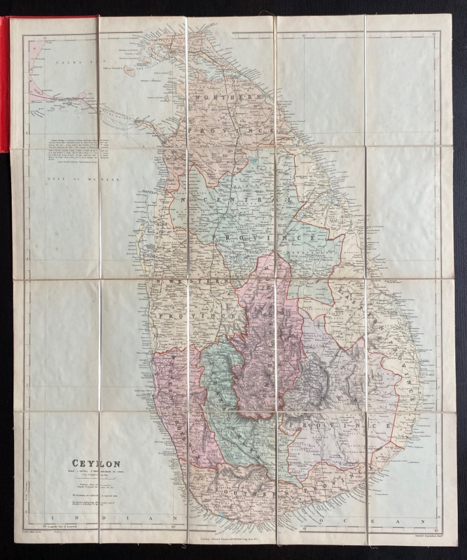
Stanford’s Map of Ceylon

Book Description
Stanford’s Map of Ceylon. Published by Stanford, London circa 1900. On folding linen in twenty sections, size 67 by 56 cm. Scale 10 miles to the inch. Colour. Includes inset notes on the Adams Bridge. Heights shown by hachuring or shading. Folds into red cloth-covered boards. VG condition.
Author
Stanford
Date
1900
Binding
Folds into stiff boards
Publisher
Stanford
Condition
VG
Other books
If you liked the book you've just seen, you might be interested in other books from the same dealer below.
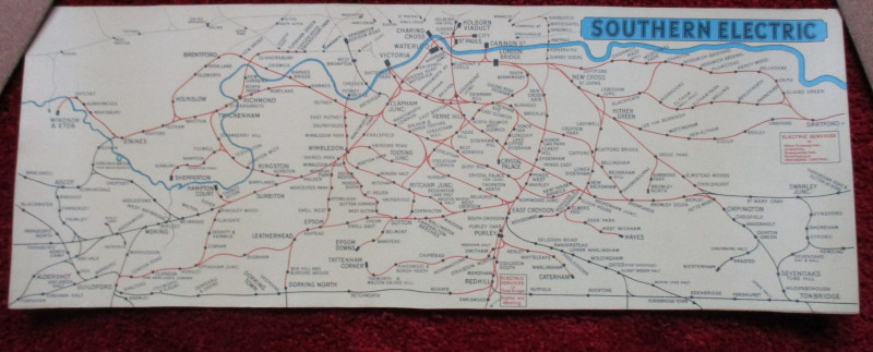
London Railway Map Carriage Print. Southern Electr...
Southern Electric
Southern Electric
£90.00
Offered by Arthur Hook
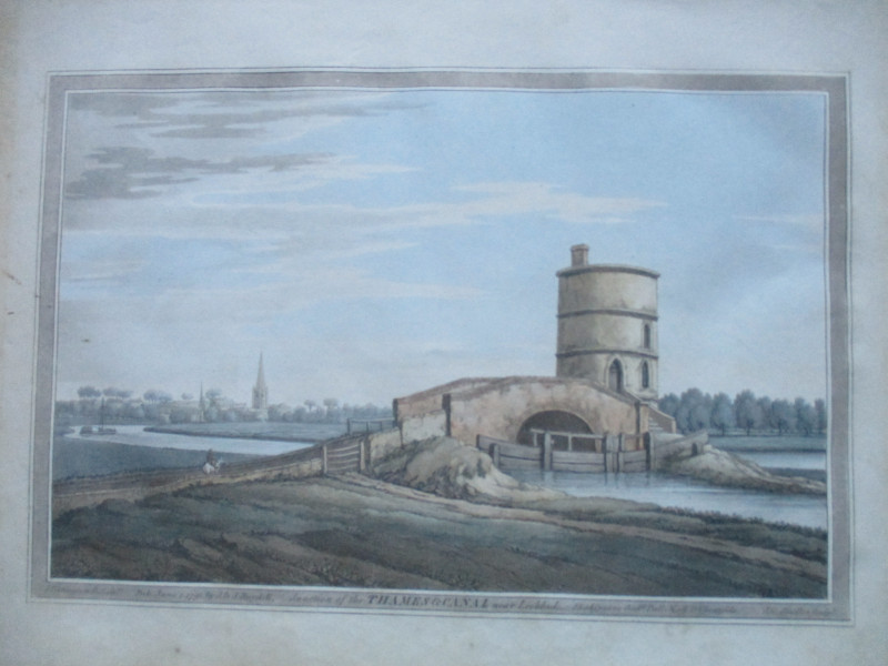
An engraving of the Junction of the Thames and Can...
Boydell.
Boydell
£50.00
Offered by Arthur Hook
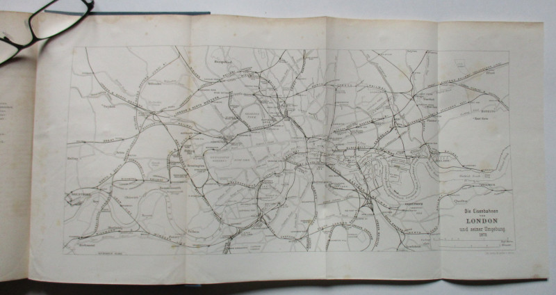
Uber das Englische Eisenbahnwesen- English Railway...
Schwabe
Ernst and Korn
£100.00
Offered by Arthur Hook

Grand Panorama of London from the Thames 1849
John and Charles Evans
John and Charles Evans
£500.00
Offered by Arthur Hook
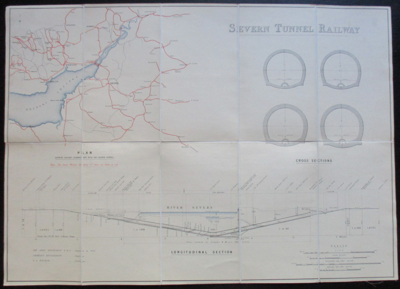
Map and Sections of the Severn Tunnel Railway 1875
Hawkshaw and Richardson
Unpublished
£250.00
Offered by Arthur Hook
Friends of the PBFA
For £10 get free entry to our fairs, updates from the PBFA and more.
Please email info@pbfa.org for more information