Railway Map of France, Germany, Holland, Switzerland and Austria 1878
Book Description
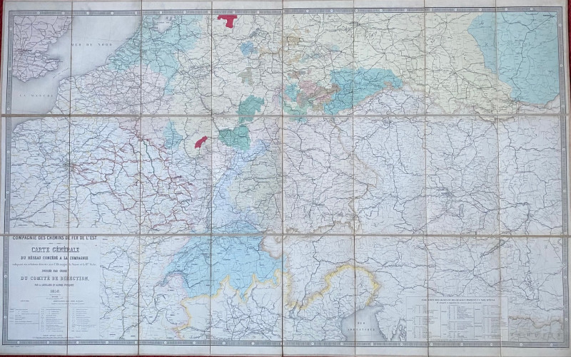
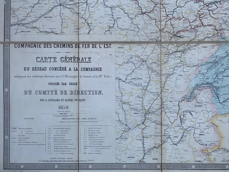
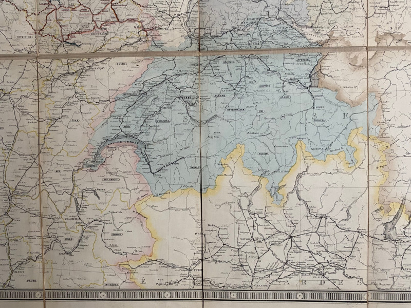
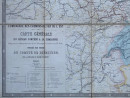
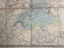
Railway Map of France, Germany, Holland, Switzerland and Austria 1878. Carte Générale du Rèseau des Chemins de Fer de l’Est indiquant ses relations avec l’Allemagne, la Suisse et la Haute Italie, published by the Compagnie des Chemins de Fer de l’Est and drawn and engraved by Letellier and Potiquet, Paris 1858. The updated 1878 edition. On folding linen in 24 sections size 155 by 98 cm. Scale 1:1,000,000. With a colour-coded key to lines open, railways under construction and railways to be approved, to canals and to a variety of frontiers and borders. There is a second more detailed key to the railways of each state: 7 in France; 7 in Belgium; 7 in Switzerland; 10 in Prussia; 6 in Austria; 5 in Saxony; 7 in Bavaria; 11 in the other German states and principalities and 3 in Holland. Some hand colouring. A detailed map of the railway network in an area that encompasses Paris, Berlin and Vienna. VG condition
Author
Letellier and Potiquet
Date
1878
Binding
Folds into stiff boards
Publisher
Compagnie des Chemins de Fer de l’Est
Condition
VG
Other books
If you liked the book you've just seen, you might be interested in other books from the same dealer below.
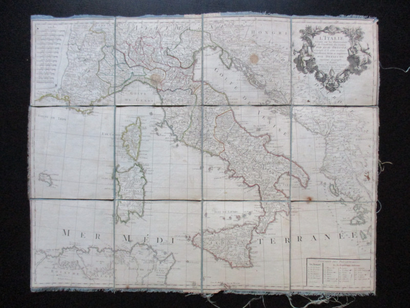
Map of Italy. L'Italie Dresse sur les Observations...
Delisle
Dezauche
£105.00
Offered by Arthur Hook
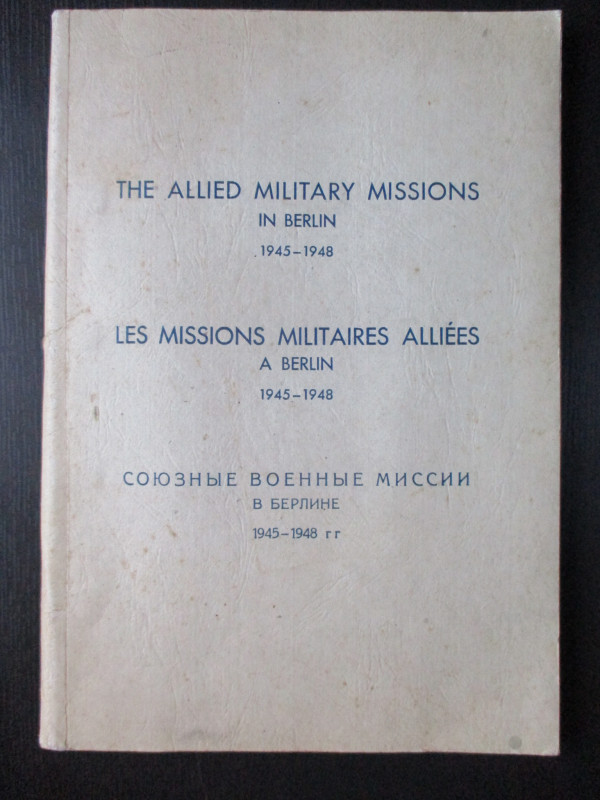
The Allied Military Missions in Berlin 1945-48
The Chief of Allied Liaison and Protocol Section
Allied Liaison and Protocol Section
£100.00
Offered by Arthur Hook
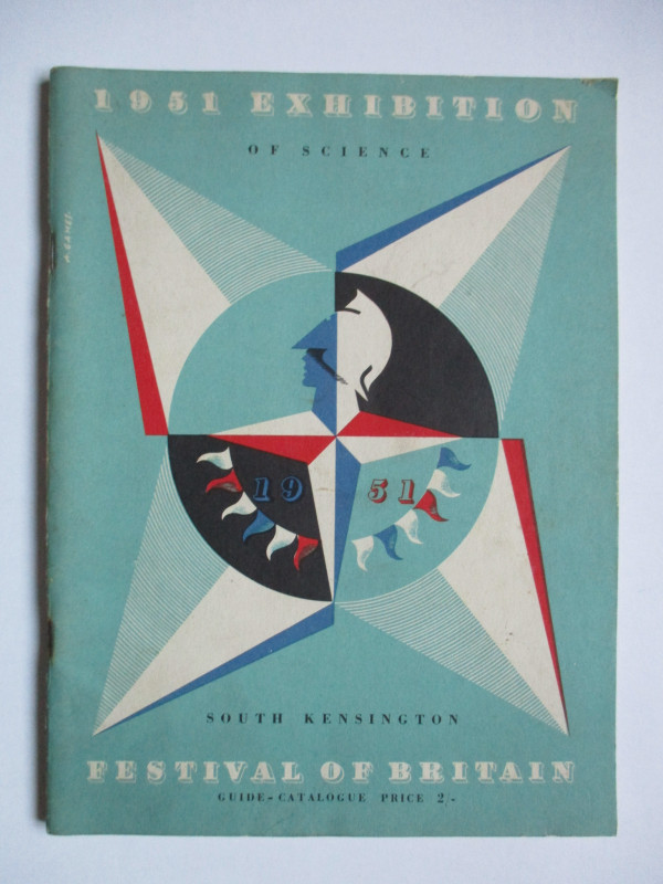
Festival of Britain Science Guide 1951 (1951 Exhib...
Bronowski
His Majesty's Stationery Office
£50.00
Offered by Arthur Hook
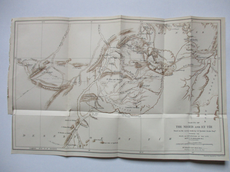
Map of Parts of the Negeb and Et Tih Palestine 188...
Drake
Palestine Exploration Fund
£40.00
Offered by Arthur Hook
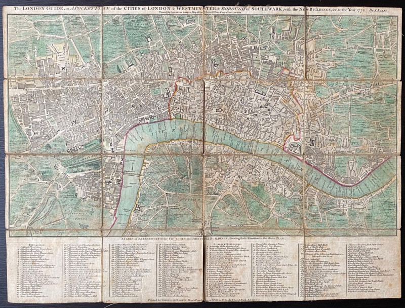
The New London Guide or a Pocket Plan of the Citie...
Ellis
Carington Bowles
£295.00
Offered by Arthur Hook
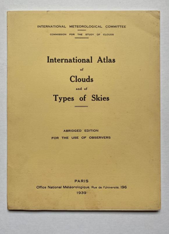
International Atlas of Clouds and Types of Skies
Anon
Office Nationale Metéorologique
£125.00
Offered by Arthur Hook
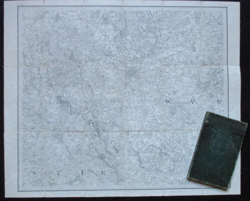
Early Ordnance Survey Map Birmingham Area circa 18...
Colby
Ordnance Survey
£100.00
Offered by Arthur Hook
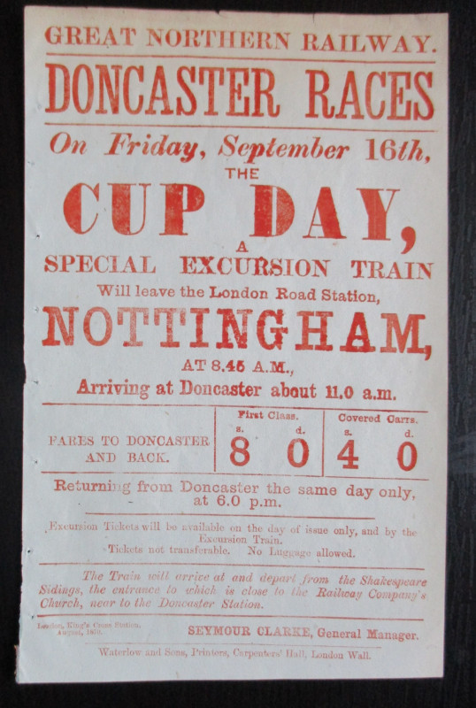
Doncaster Races by Great Northern Railway 1870
Anon
Great Northern Railway
£45.00
Offered by Arthur Hook
Friends of the PBFA
For £10 get free entry to our fairs, updates from the PBFA and more.
Please email info@pbfa.org for more information