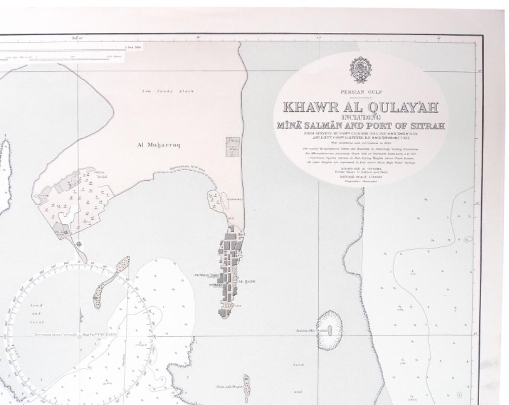
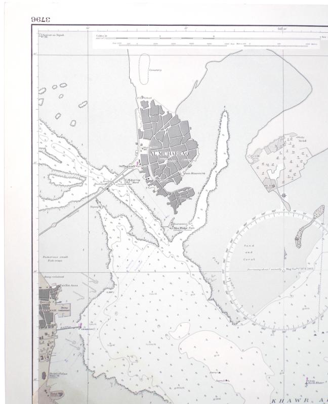
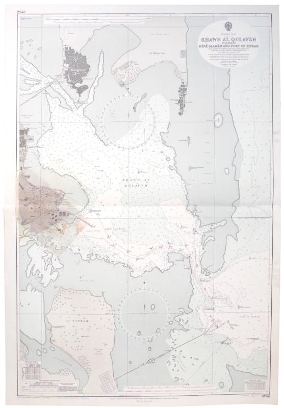
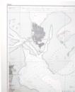
Persian Gulf. Khawr al Qulay‘ah including Míná Salmán and Port of Sitrah. From Surveys by Comdr. C. R. K. Roe D.S.C., R.N. H.M.S. “Owen” 1959. With additions and corrections to 1964 [1973].
Book Description
Dealer Notes
Other books
If you liked the book you've just seen, you might be interested in other books from the same dealer below.
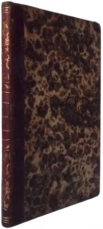
Historia de la Patagonia, Tierra del Fuego, é Isla...
Lacroix, Frédéric.
Barcelona: Imprenta del Liberal Barcelones
£150.00
Offered by Meridian Rare Books
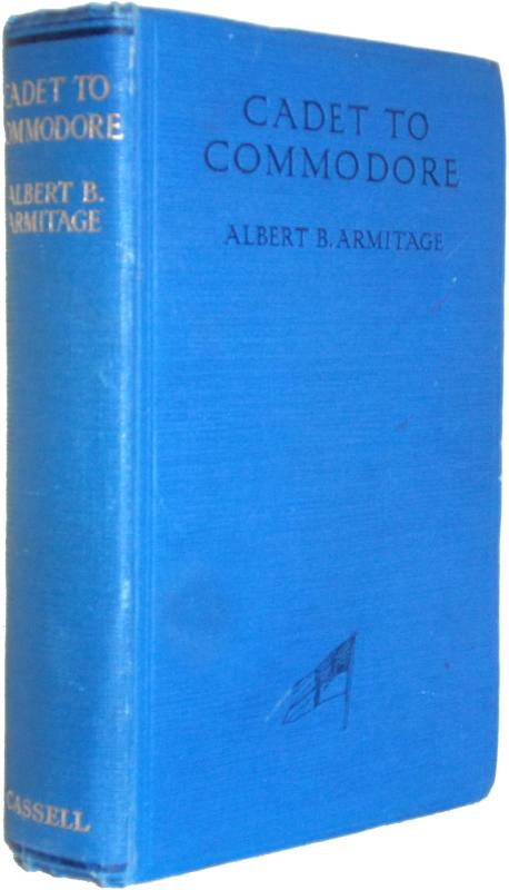
Cadet to Commodore ... With a Foreword by The Rt....
Armitage, Albert B.
Cassell and Company, Ltd.
£175.00
Offered by Meridian Rare Books
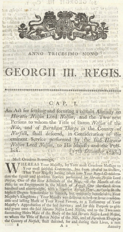
An Act for settling and securing a certain Annuity...
[Nelson.]
London: George Eyre and Andrew Strahan
£375.00
Offered by Meridian Rare Books
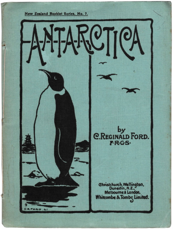
Antarctica. Leaves from a Diary kept on board an E...
Ford, C. Reginald.
Christchurch, Wellington, Dunedin, N.Z., Melbourne & London: Whitcombe and Tombs Limited
£950.00
Offered by Meridian Rare Books
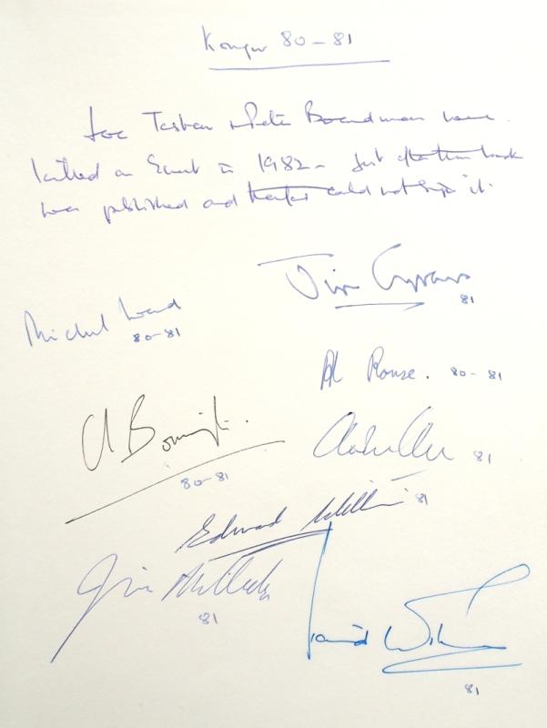
Kongur China’s Elusive Summit.
Bonington, Chris.
London: Hodder and Stoughton
£275.00
Offered by Meridian Rare Books
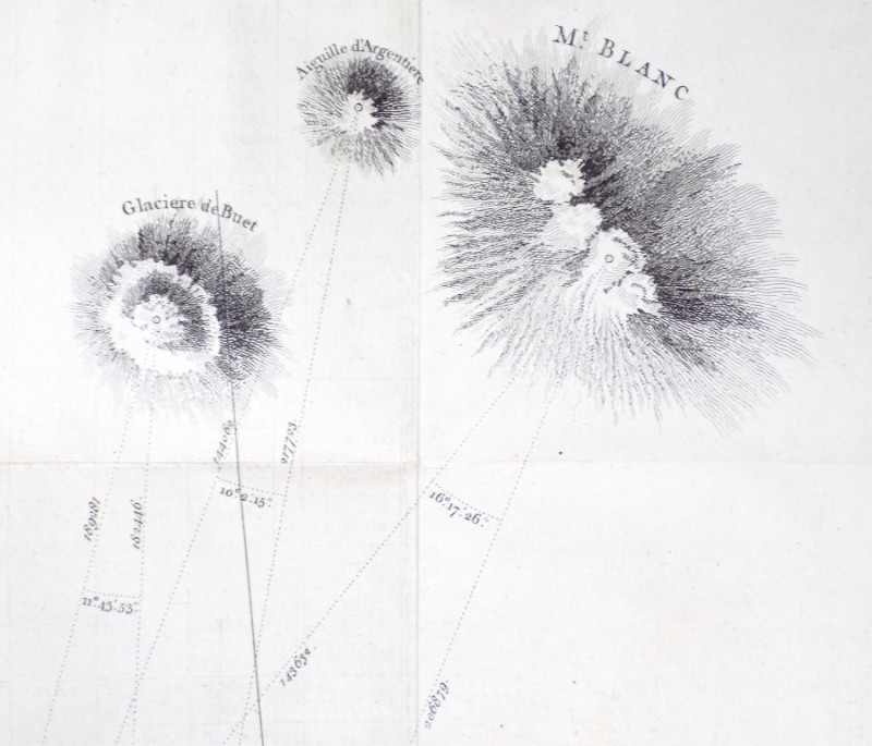
‘Observations made in Savoy, in order to ascertain...
Shuckburgh, Sir George.
£675.00
Offered by Meridian Rare Books
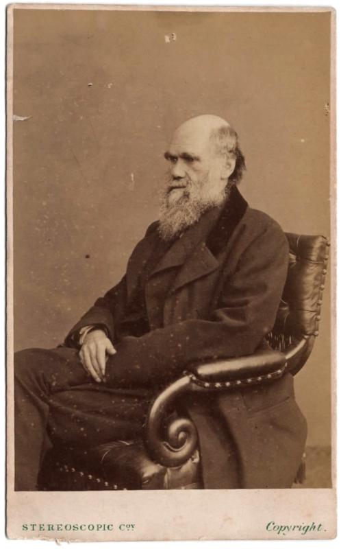
A carte de visite of Darwin.
[Darwin, Charles Robert, 1809-1882.]
London: The London Stereoscopic & Photographic Company
£375.00
Offered by Meridian Rare Books

On Top of the World. My Adventures with my Mountai...
Petzoldt, Patricia.
New York: Thomas Y. Crowell Company
£95.00
Offered by Meridian Rare Books
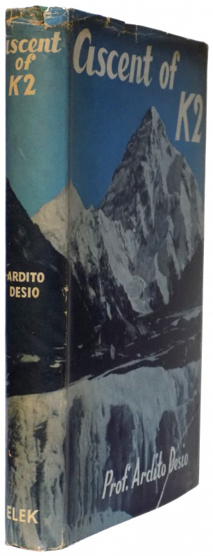
Ascent of K2 Second Highest Peak in the World.
Desio, Ardito.
London: Elek Books
£750.00
Offered by Meridian Rare Books
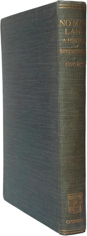
No Man’s Land. A History of Spitsbergen from its D...
Conway, Sir William Martin.
Cambridge at the University Press
£375.00
Offered by Meridian Rare Books
Friends of the PBFA
Please email info@pbfa.org for more information