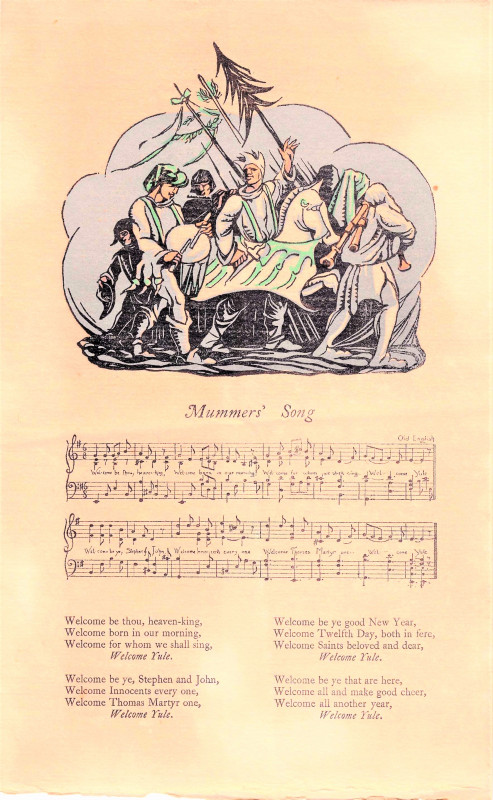
North Wales
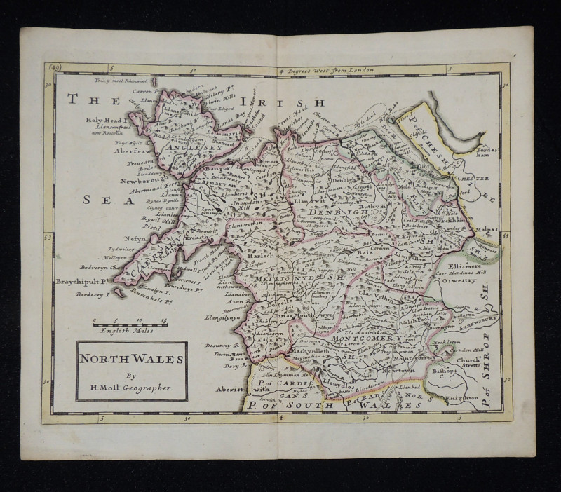
Book Description
Other books
If you liked the book you've just seen, you might be interested in other books from the same dealer below.
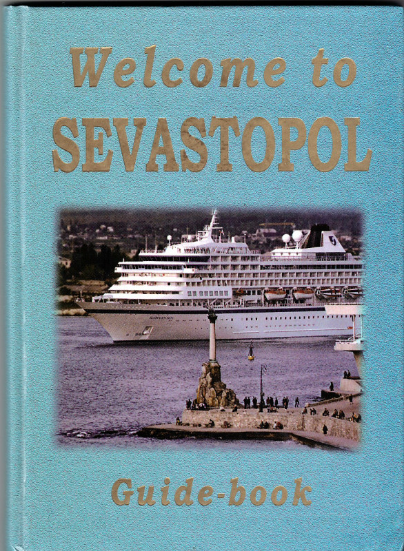
Welcome to Sevastopol
Dobry, A. & Borisova, I.
Sevastolpol Art Print
£25.00
Offered by Paul Haynes Rare Books
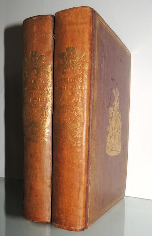
Wanderings and Excursions in South Wales; includin...
Thomas Roscoe
C. Tilt and Simpkin and Co. London
£150.00
Offered by Paul Haynes Rare Books
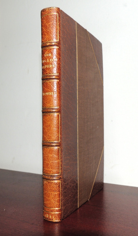
The Biglow Papers
James Russell Lowell
John Camden Hotten, Piccadilly
£75.00
Offered by Paul Haynes Rare Books
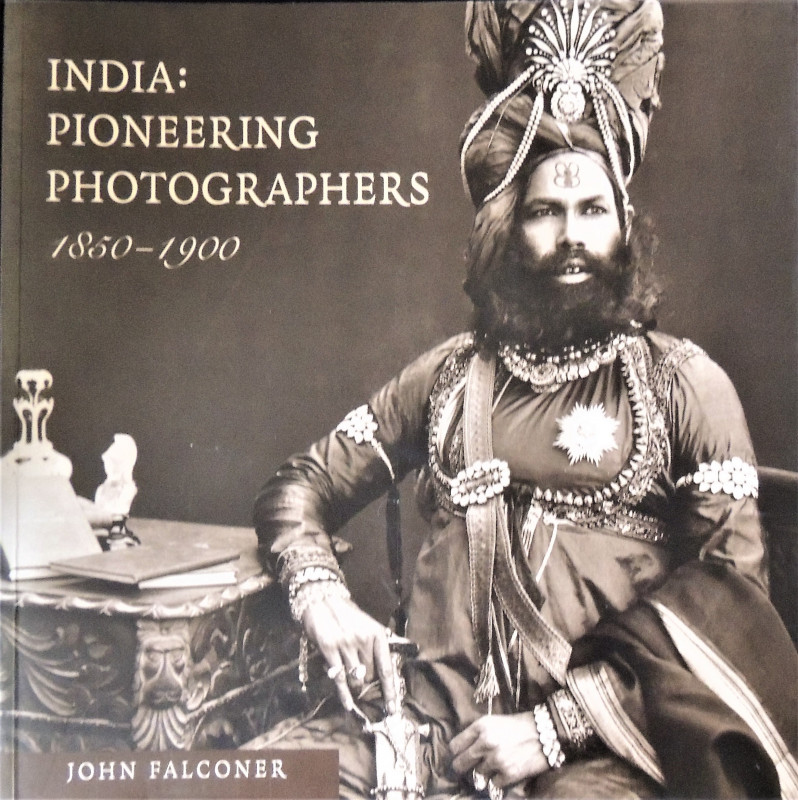
India: Pioneering Photographers 1850 - 1900
Falconer, John
The British Library
£50.00
Offered by Paul Haynes Rare Books
Sketches of Whitby, Drawn from Nature
Dinsdale, John
John Bailey, Darlington
£95.00
Offered by Paul Haynes Rare Books
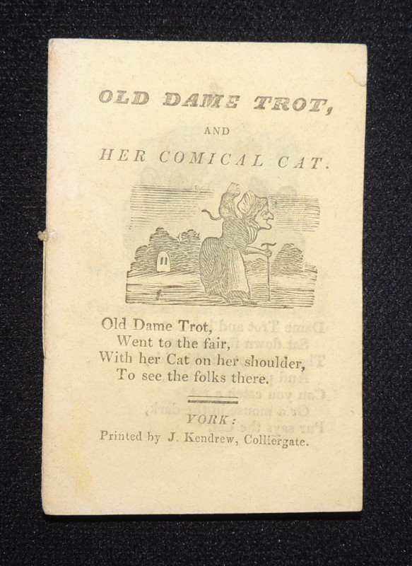
Old Dame Trot and Her Comical Cat
[Kendrew, James of York]
Printed by J. Kendrew, Colliergate. York.
£45.00
Offered by Paul Haynes Rare Books
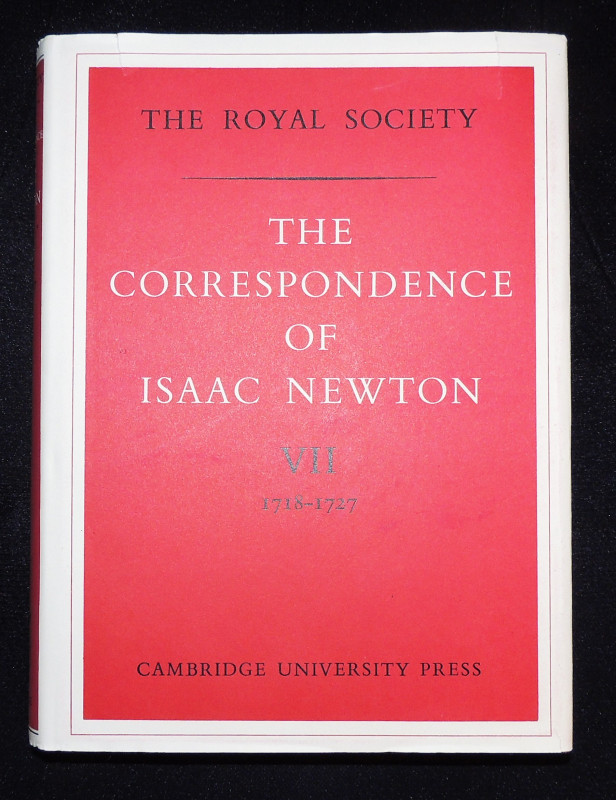
The Correspondence 1718-1727
Isaac Newton
Published for the Royal Society. Cambridge University Press
£45.00
Offered by Paul Haynes Rare Books
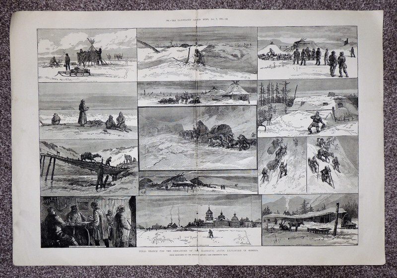
Final Search for the Jeannette Arctic Expedition i...
Illustrated London News
Illustrated London News
£15.00
Offered by Paul Haynes Rare Books
Friends of the PBFA
Please email info@pbfa.org for more information